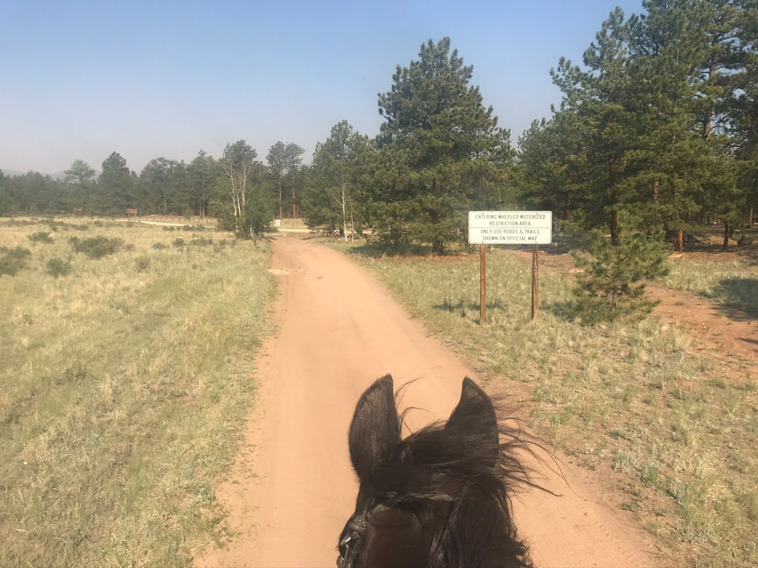
Camp Road 453 to 247-225-290
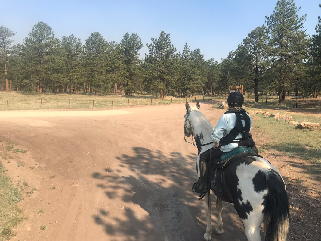
Our second day of riding I wanted to do a much shorter, easier trail. The first day we had gotten pretty lost, so now we knew the main roads and what to expect out on the trail. We decided to take road 453 heading back down the camp road, turn right on 247, right on 225 and then at that point decide if we wanted to go back or go further. We decided to go a little further and went out and back on #290 for a slightly longer ride. It took less than 2 hours an estimated 4.6 miles, and was a nice morning ride before it got hot.
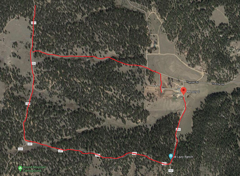
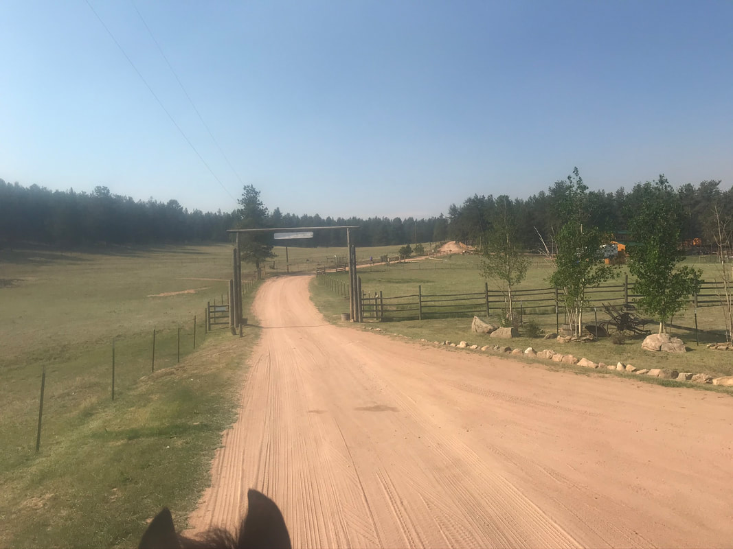
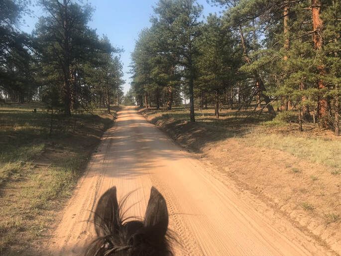
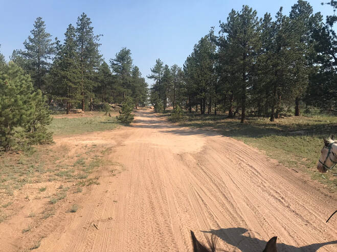
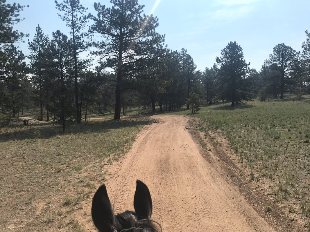
We started out on road #453 heading back the way we drove into camp. There were a field of longhorn cattle on the left, luckily they were more interested in sleeping than scaring our horses.
|
|
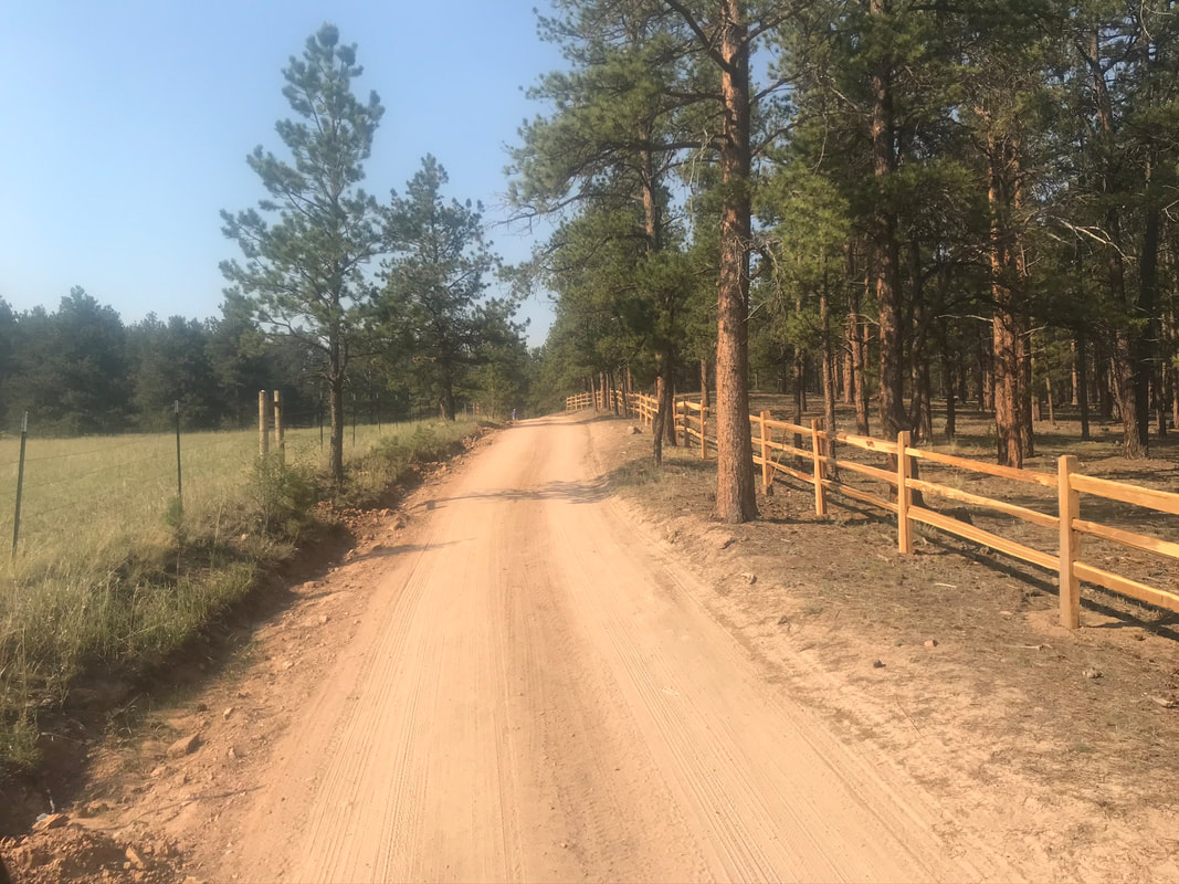
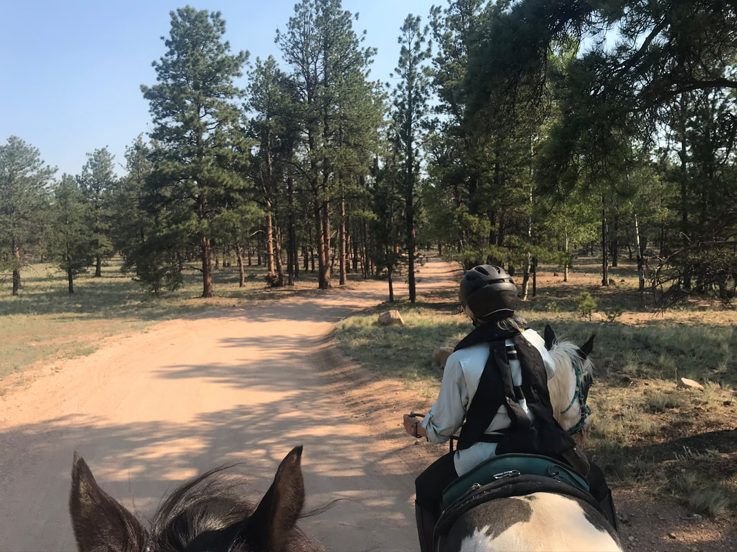
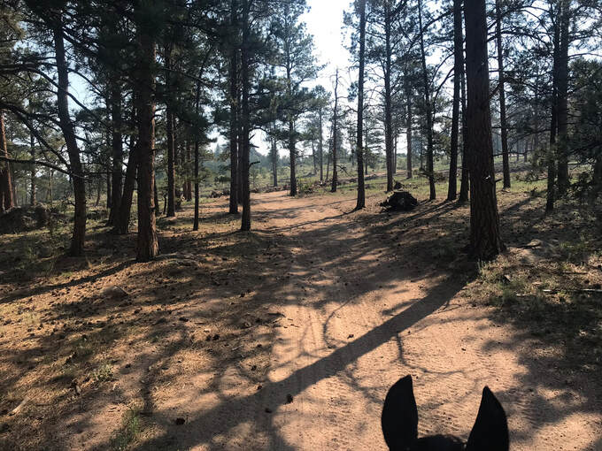
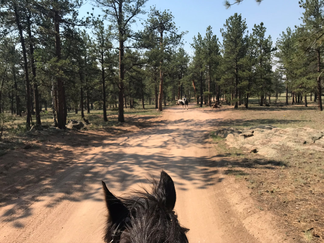
We took a right on #247 and the trail wove through the pine trees and was pretty shady.
|
|
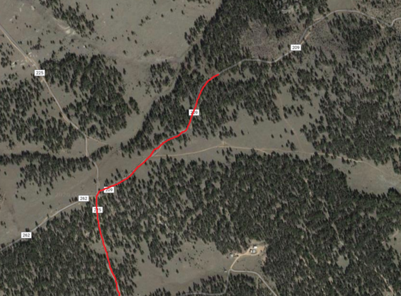
247 dead ended into 255. We took a right on 255 and headed north.
|
|
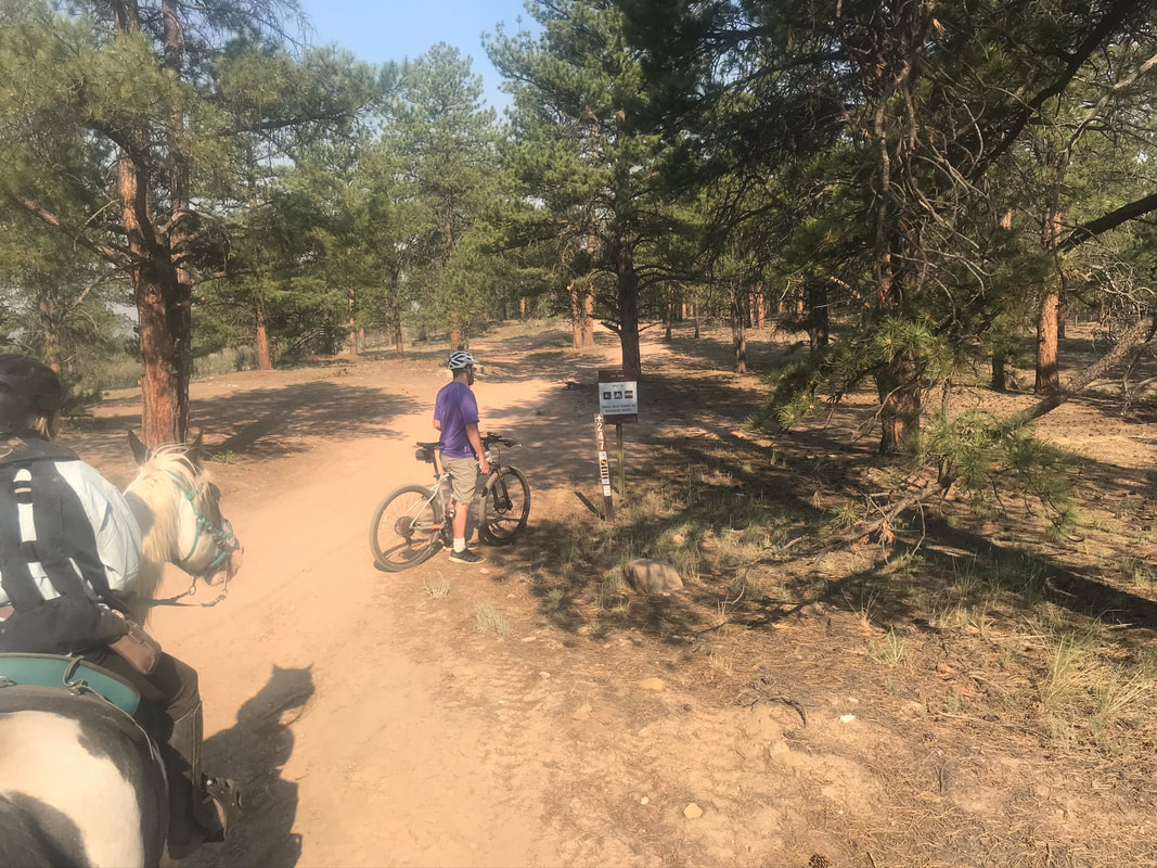
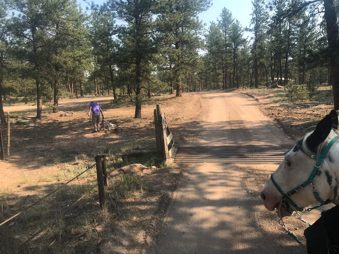
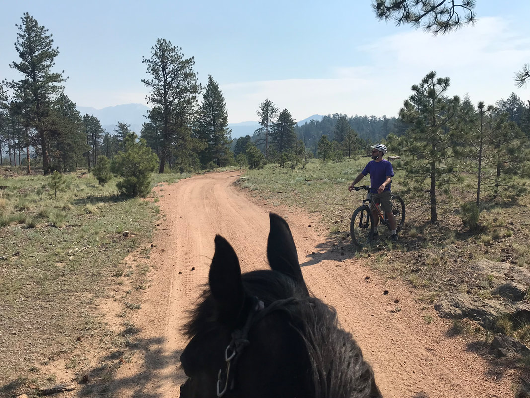
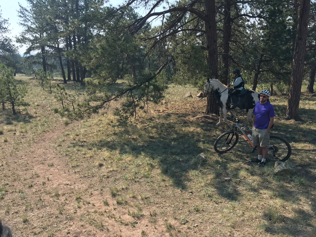
There was a cattle guard and a wire gate to open. It was nice to ride with my husband on his bike. He opened the gate for us.
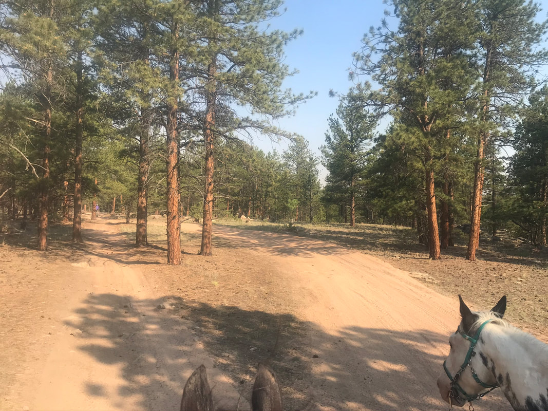
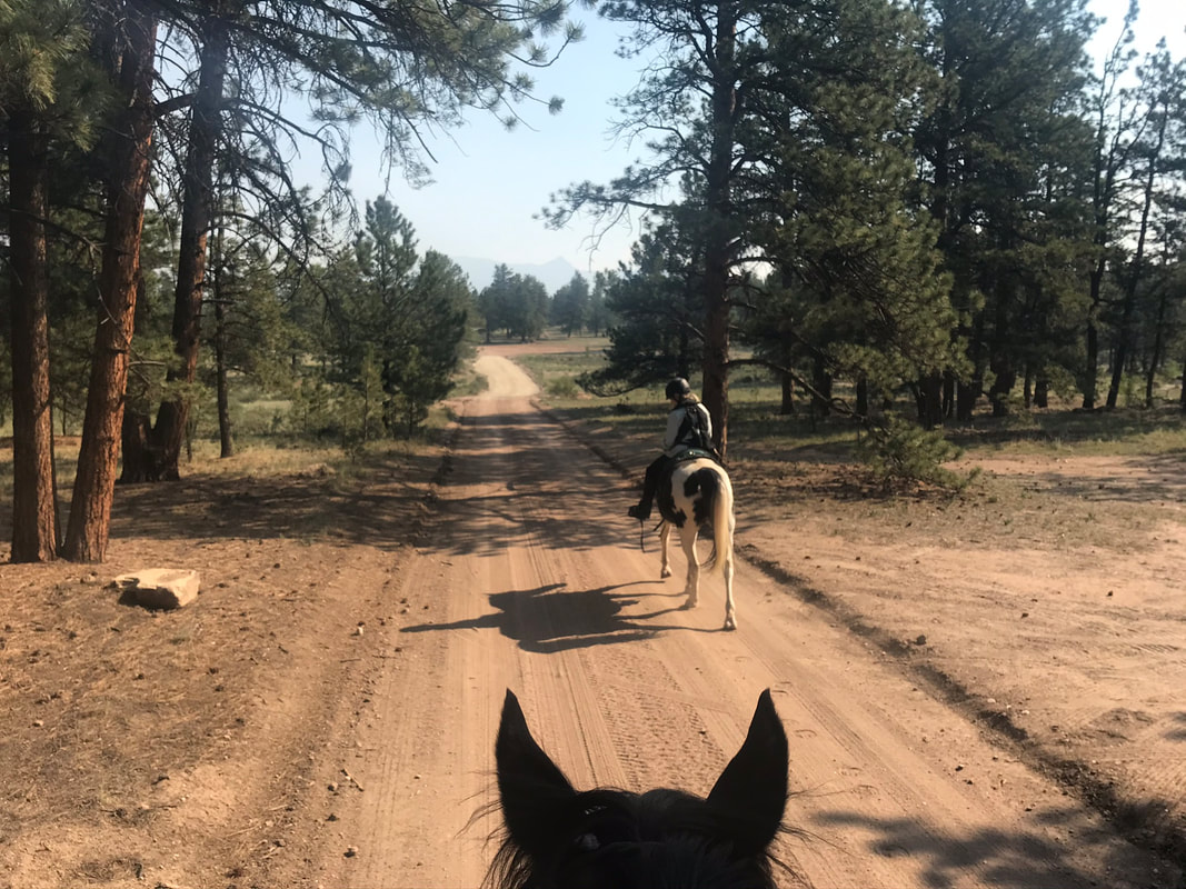
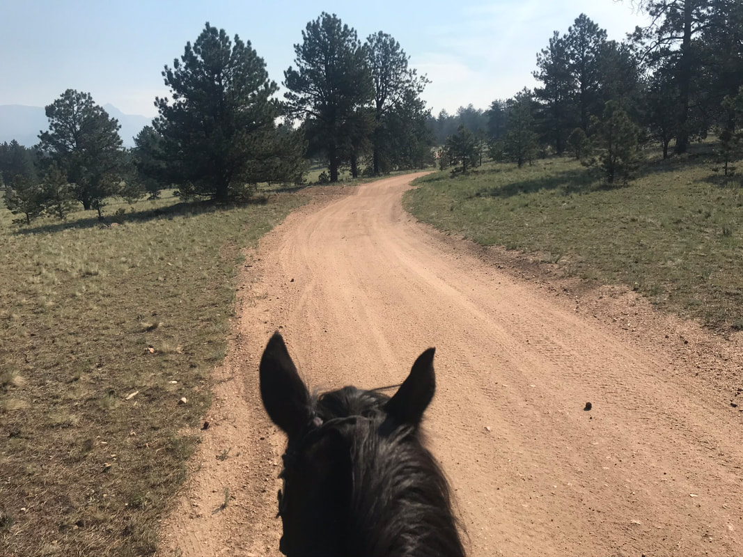
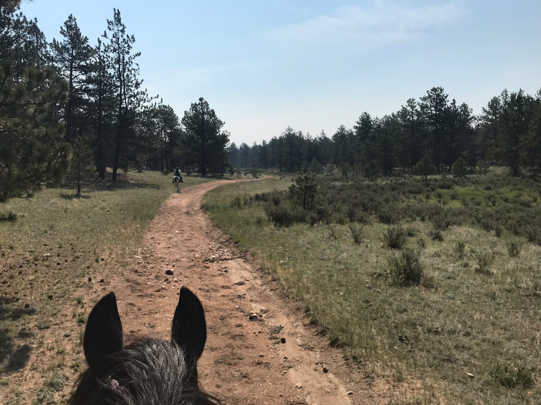
We continued on #225. The trail was soft and wide and sandy. There were some trail offshoots and they were not labeled.
|
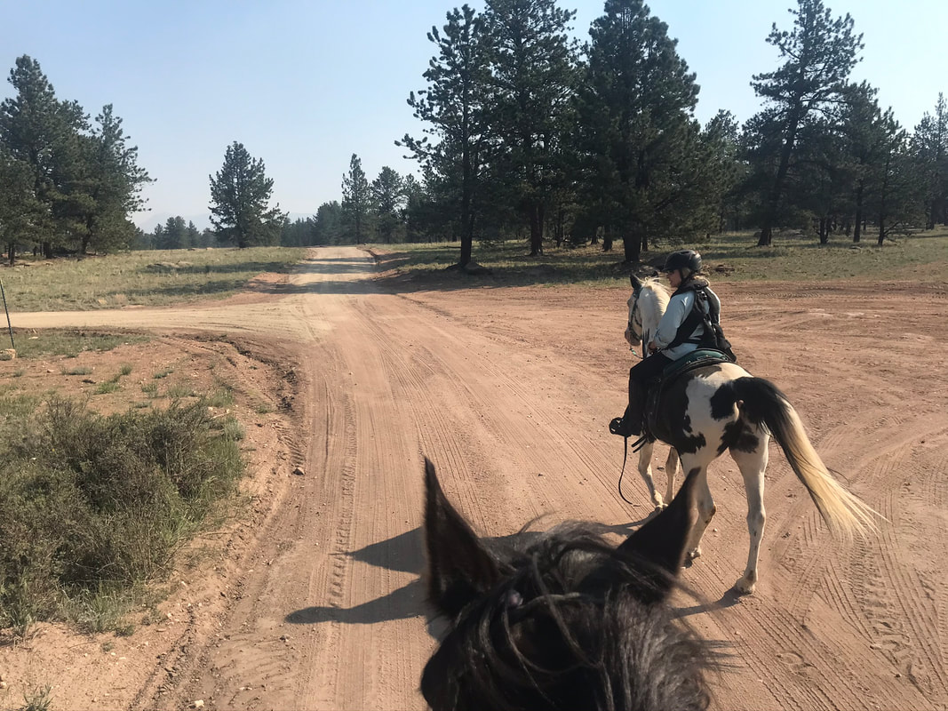
|
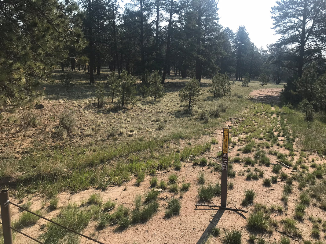
There were several trails that were fenced off and marked as closed.
|
|
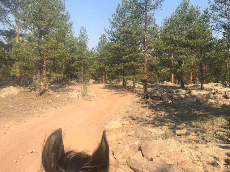
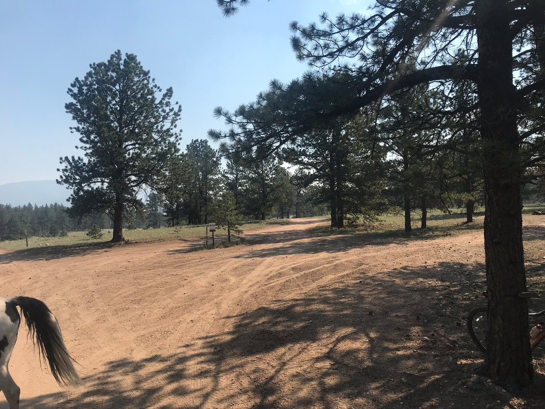
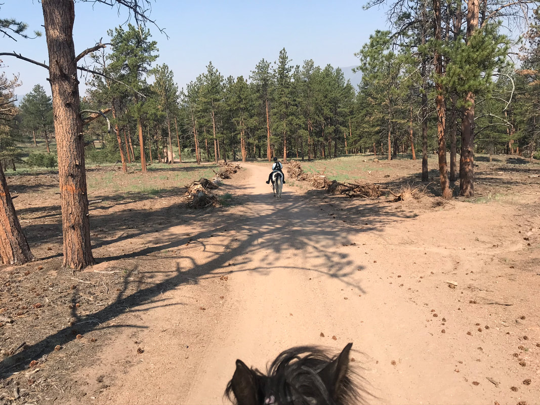
We came to a 4-way fork and followed #290.
|
|
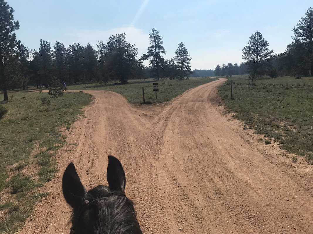
We continued on the left fork below. It was labeled as #290, the fork on the right was not labeled.
|
|
We passed another cattle guard but the wire fence to the left was open.
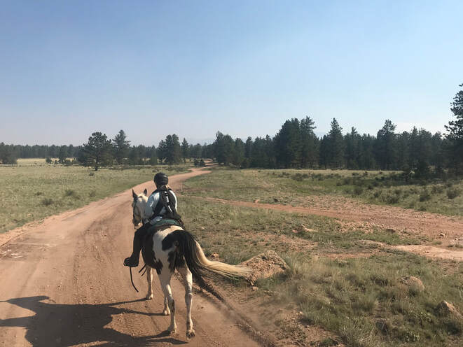
We came to the top of a hill, took in the view and turned around.
|
|
|
We had to look carefully for the trail branch off #225 that would take us back to camp. It was by some fences on the left side of the trail. It was a soft and sandy trail back to M Lazy C.
|
|
This was a nice, beautiful short and relaxing trail ride. It was easy to do in the morning before it got hot.
