|
|
Bear Creek Park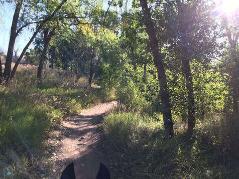
Trail MapPDF Map Link
https://www.lakewood.org/files/assets/public/community-resources/parks/trails/bclp-2019-trail-map.jpg 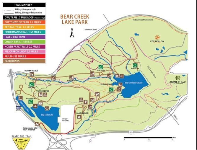
Park FeesDay pass $10
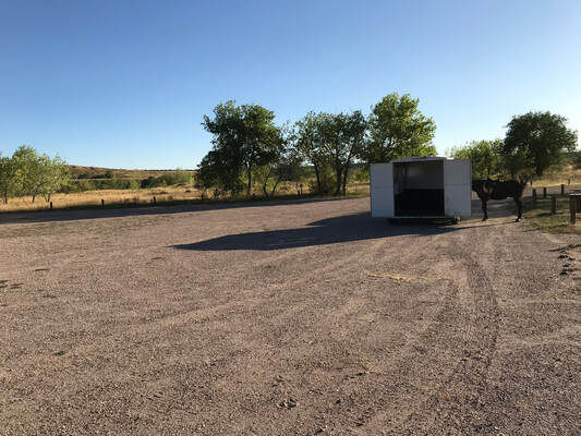
Senior/Disabled $5 Annual Pass: JeffCo Resident: $30 Nonresident: $35 Seniors/Person with Disabilities: $20 Jeffco Resident, $25 Nonresident Each additional vehicle (if registered to same address): $20 Trailer ParkingThere are multiple parking lots at Bear Creek Park. I wanted to park by the horse arena. As you enter the park take the first right. You go down a curvy road past a lake and the stables. Past the stables the next left has trailer parking by the arena. When you first enter the park the sign at the first fork tells you to go left for equestrian parking, the Muskrat Meadows parking lot. This is a 2nd option if you want to park on the North side of the park.
Below:
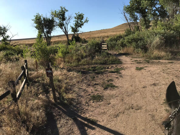
First fork in the road. I went right to go to the horse arena. You can also go left to park in the equestrian parking. 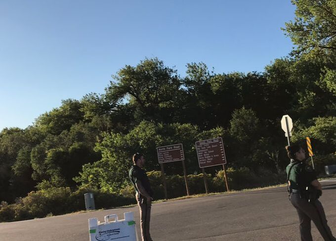
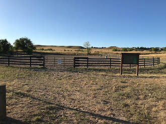
Horse FacilitiesBear Creek has an arena! This is great if you need to lunge or ride your horse a little before feeling confident going out on the trail. We dislike arenas and rode the trails but it is nice knowing it is there in case you run into some training issues.
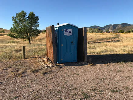
BathroomsYes, a porta potty. It is not the nicest but it will do the job.
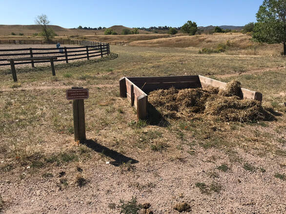
Manure PileSo there is a place to put your manure. This is great. I can clean out my trailer before the ride home guilt-free.
WaterYes! There is a spigot by the horse arena.
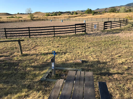
MountingI used the picnic table to get on Sam.
FootingThe footing varies from sand to gravel to single-track to cement. On our ride even where there was cement there was a small section of mowed grass next to the path.
Horse HazardsDogs, hikers, bikers, the usual hazards on popular trails. Be aware of where you park if your horse will not cross the creek. On the day I visited there was a bike race!
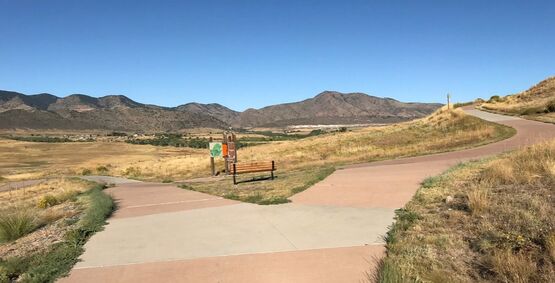
Chosen TrailChosen Trail:
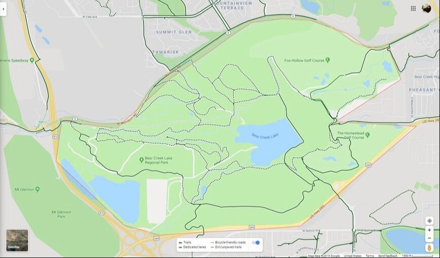
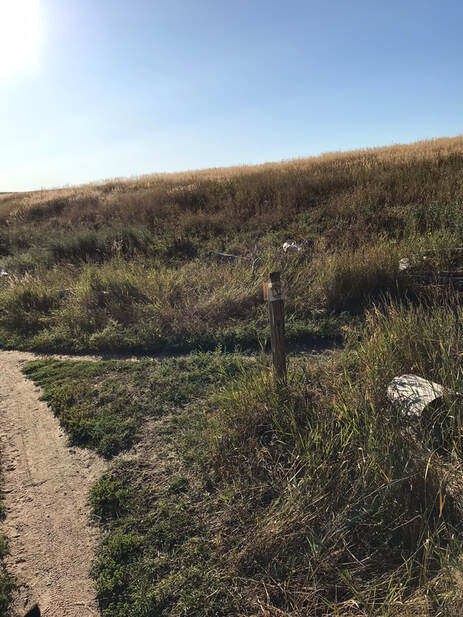
I rode the Mount Carbon Loop trail starting from the horse arena and going counter-clockwise. It was a long trail 6.6 miles and it took us 2 hours. The trail starts out as a well marked single-track then goes up Mount Carbon and around the Homestead Golf Course. As you come around the North side there are a lot of forks and they are NOT marked. I wasn't sure which way to go and Sam and I winged it and asked passing hikers if we were on the right trail. Looking at the maps the google map satellite map shows the forks more clearly than the park map. No matter which way you go you can't get too lost, however by mile five it makes you feel better if trails are well marked. We did cross the creek to get home faster (blue line). There are trails that horses are not allowed on. Usually the alternative path was marked and clear. However, if I felt lost I would disregard the signs and use these trails to find a hiker or ranger to help me. 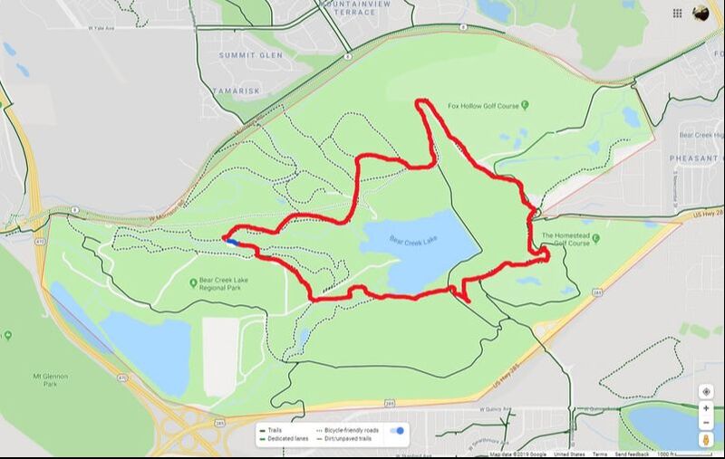
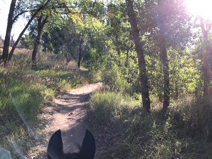
Trail ExperienceFrom the arena we followed a trail to cross the road and find the Mount Carbon Loop Trail. It started off really nice and shady through the trees.
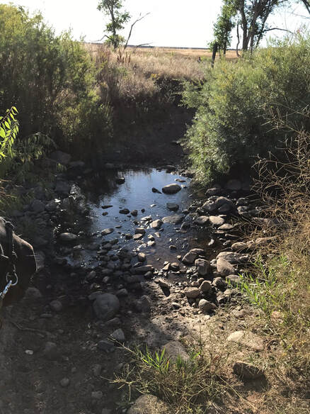
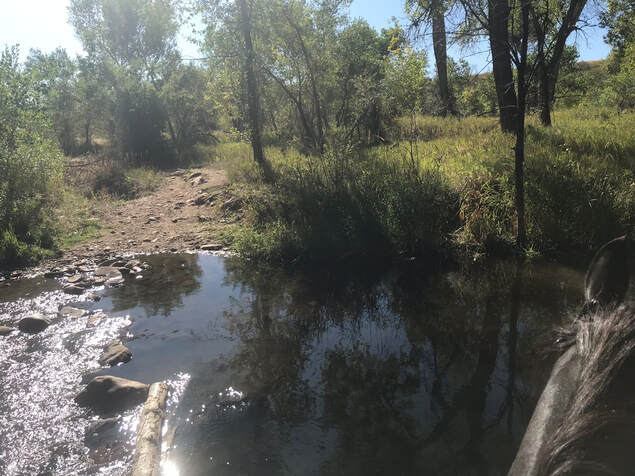
Crossing the road and following the MCLT signs we came to a bridge. There was an option to go around the bridge and cross the creek instead. We went through the creek and got a quick drink.
My horses love water and had no problem crossing the creek. If your horse does not love water there are still plenty of trails. There are trails that do not allow horses, I may have missed the signs and this makes it harder if you are riding with a hiker or biker.
At first the trail was pretty well marked.
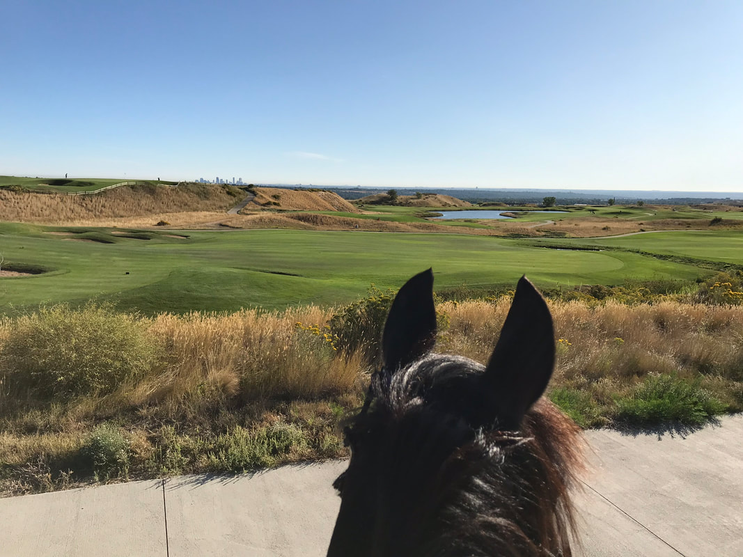
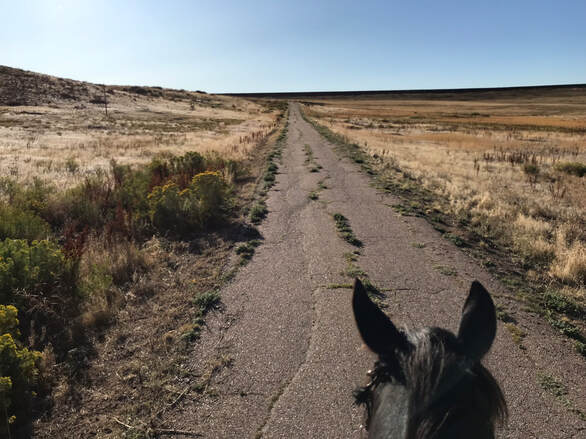
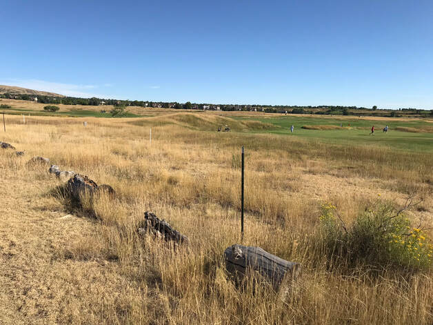
The trail turned into a cement road as we headed up Mt. Carbon. This is where the trail was not as well marked. We went to the right up the hill to the golf course when a shorter way would have been to the left.
At this point we went to the right in the picture and continued up the hill.
Pretty views from the top.
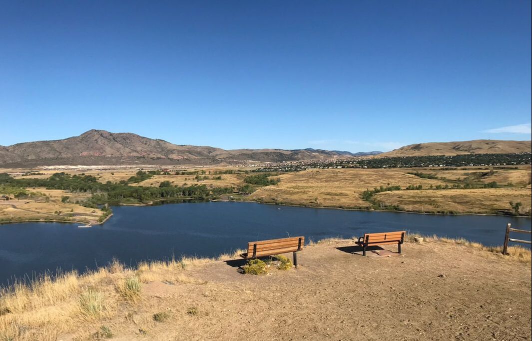
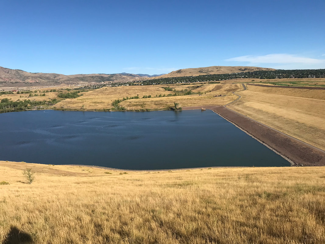
I didn't know where the MCLT was but continued past the golf course to the left. I found a trail marker and started on a single-track around the edge of the reservoir.
So, the pictures don't quite capture the fact that you are on a single-track path on the edge of a hill/cliff. Sam was a champ but I would not attempt this trail with a spooky horse or nervous rider because I would worry about falling down the hill. We went past another golf-course. Normally Sam may have looked at all the logs but by this time he was pretty tired.
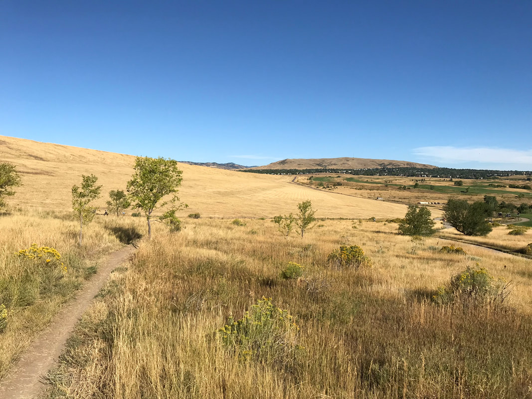
As you go around the North side of the park there are a lot of trail forks that are NOT labeled! I was starting to feel pretty lost. Looking at the map now I realize that they all would have gotten me home. I took a short-cut down a hill and through the Whitetail parking lot, got back onto the MCLT and went through Muskrat Meadows parking lot, crossed the creek to use the multi-use trail to get back on the MCLT.
RatingModerately Difficult. This is because I took the MCLT. There was a tough single-track by the side of the hill, it was long, I felt a little lost. We had to walk by plenty of hazards including bikes, golfers, stationary objects and cross a few creeks. You could do some easier trails if you stayed by the creek on the north side of the park by the Muskrat Meadows parking lot.
|