Betasso Preserve
Website
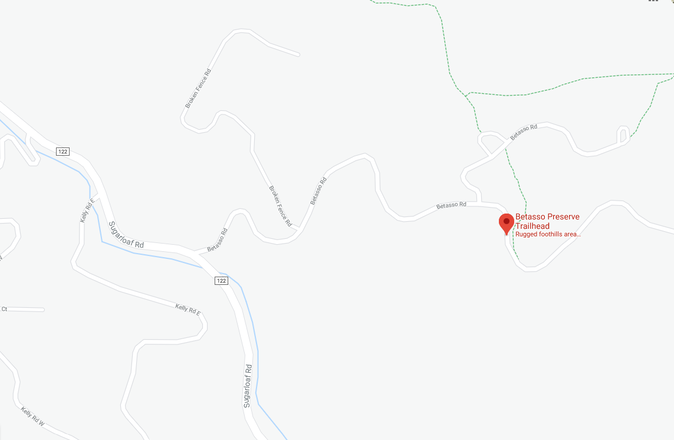
Location
Betasso Rd, Boulder, CO 80302
Park Fees
Free!
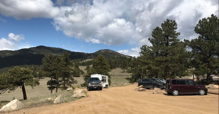
Trailer Parking
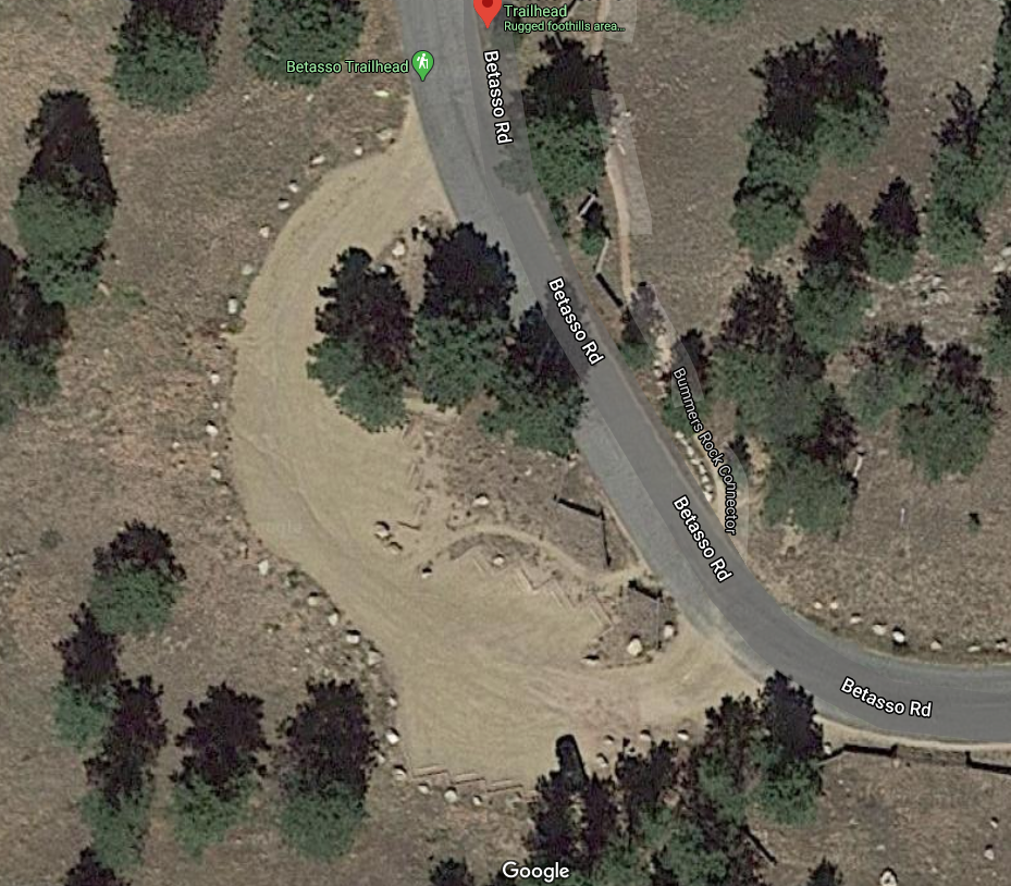
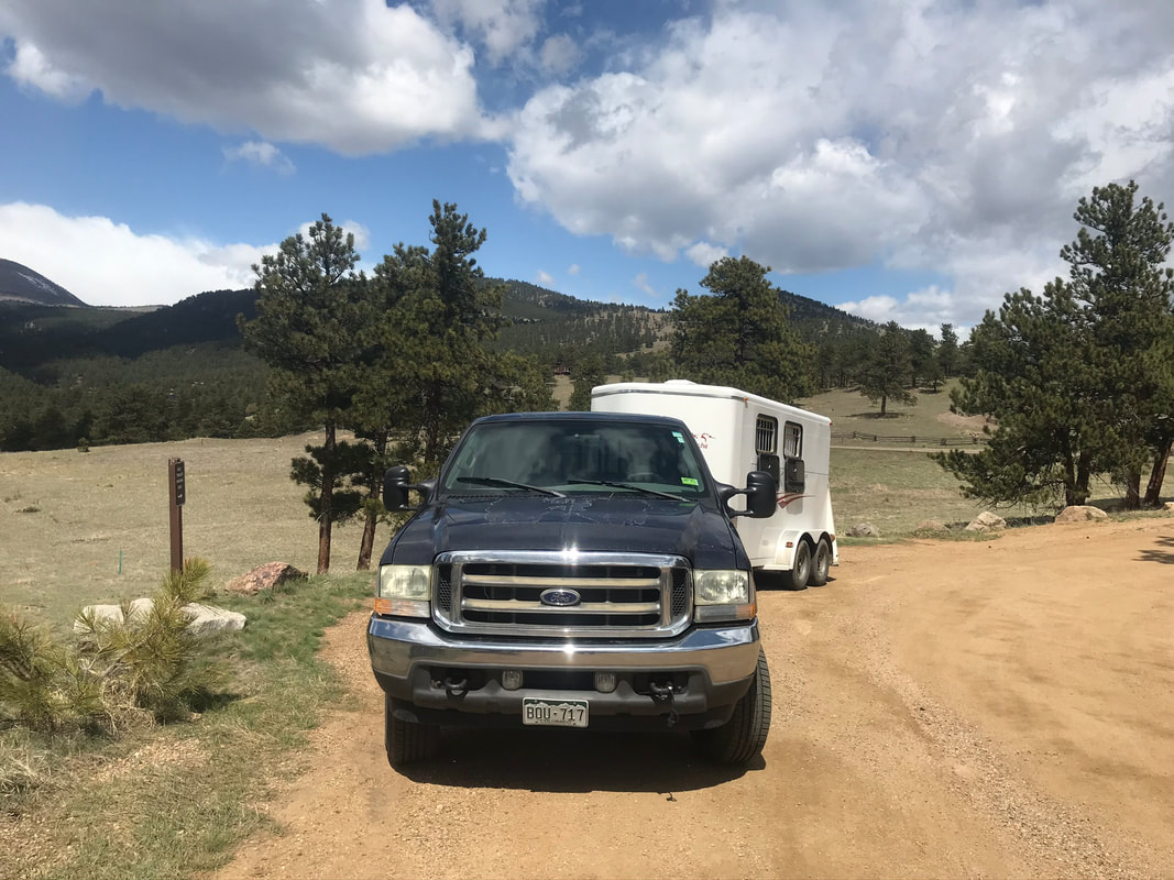
I was happily surprised to see designated trailer parking at Bummer's Rock Trail-head. Trailers are supposed to park along the west side of the parking lot in a line. We fit 3 trailers in this spot and it worked out since we knew each other and were riding together.
|
|
Water
None Available
Bathrooms
Permanent potties at main trailhead, none at Bummer's Rock
Mounting
There was a picnic table to stand on and lots of large rocks!
Footing
Packed dirt, started off soft but there were some moderately rocky areas. Shoes recommended.
Horse Hazards
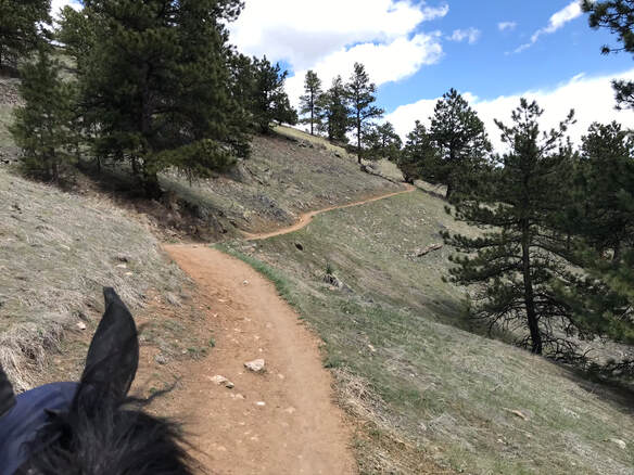
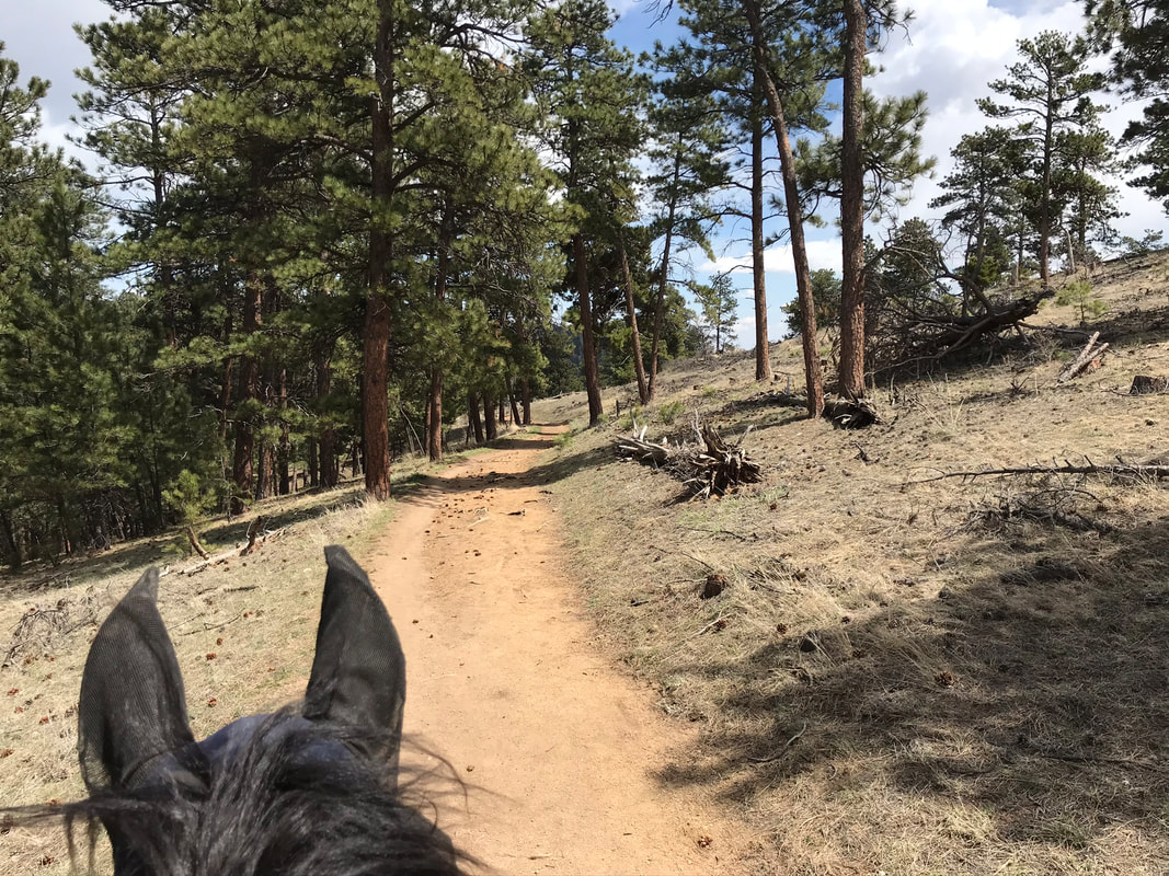
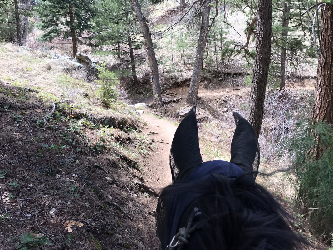
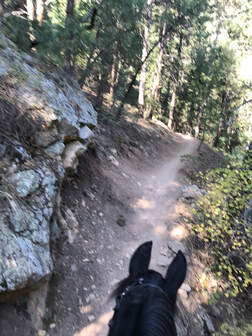
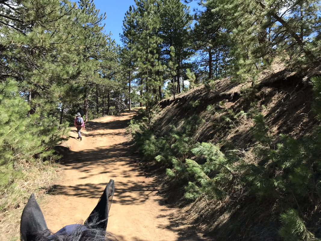
If you go on a Saturday or Wednesday there are no bikers! We saw dogs on leash but it was a pretty easy trail. The only hazard Sam was not sure about was a small stream going through the trail. I dismounted to help him be brave. Parts of the trail were a narrow single-track that was right up against a ledge. This didn't bother our horses but this is not a trail for green riders or horses. Much less rocky than White Ranch but the same narrow, winding paths along hillsides through the forest.
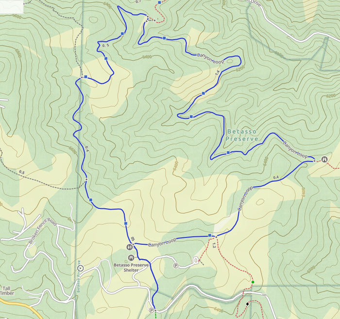
Trail Map
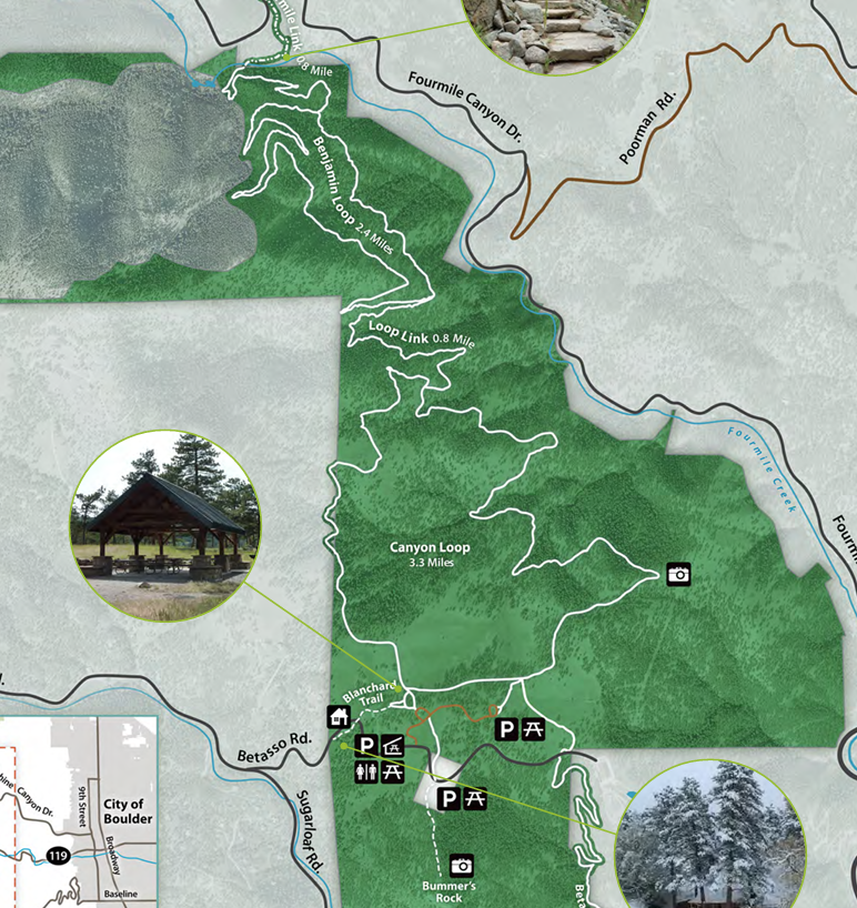
Chosen Trail
Canyon Loop
Total Miles: 3.5 miles
Total Time: 1.5 hrs
Ascent: 705 feet
GPS Track Link
We started from Bummer's Rock Trail-head and headed to the main trail-head to take Canyon Loop. We rode about 3.5 miles in 1.5 hrs. Sam out-walked everyone and we stopped often for pictures and to soak in the stunning views. You can make this trail longer by taking the Benjamin Loop to add another 4 miles. We are going to save this additional loop for another day.
Trail Experience
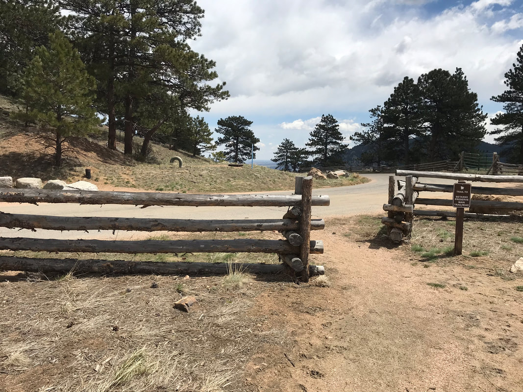
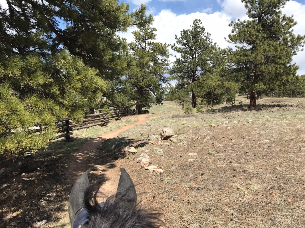
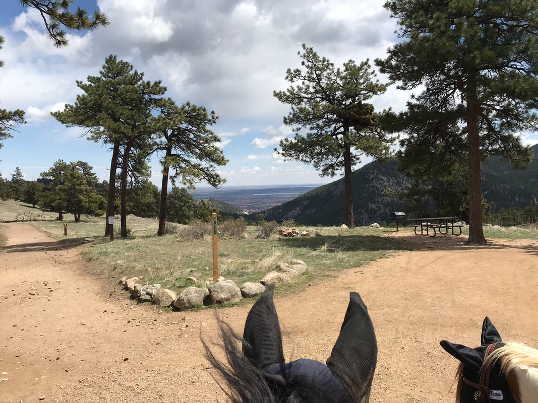
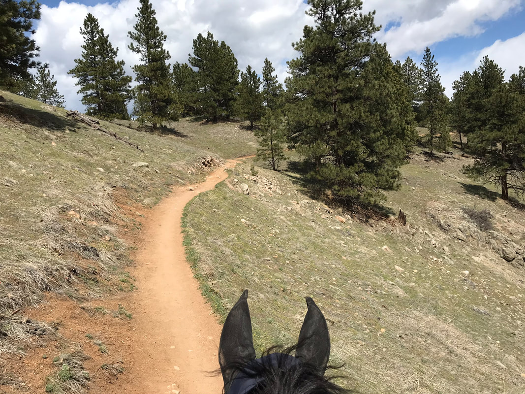
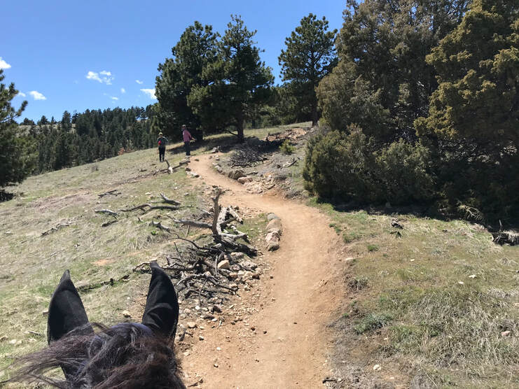
We followed the sign to the trail to the main trail-head and crossed the road to head up the hill on the other side.
|
|
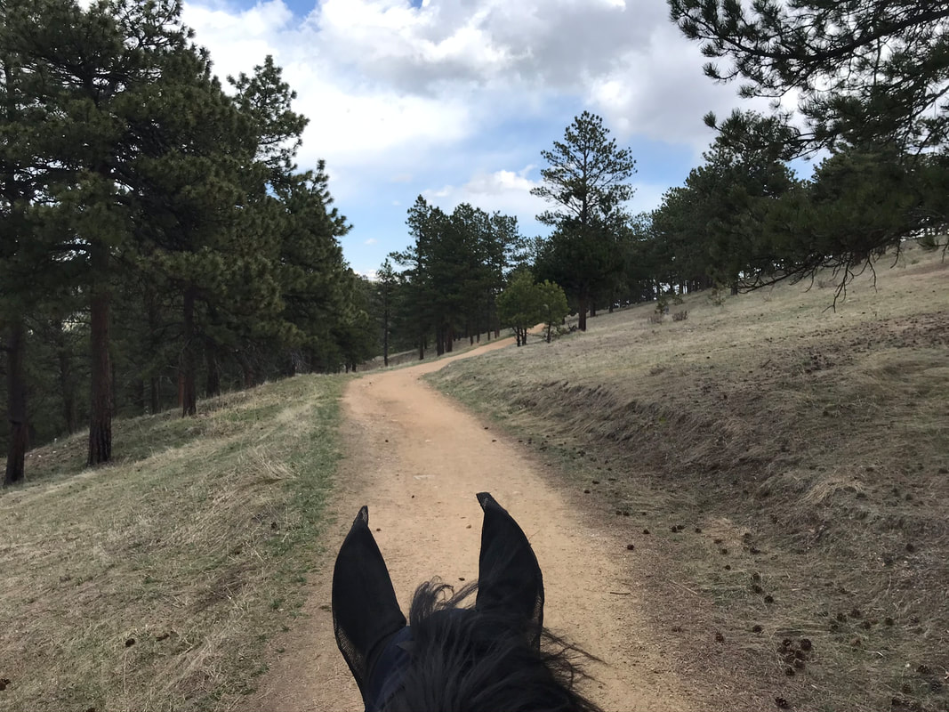
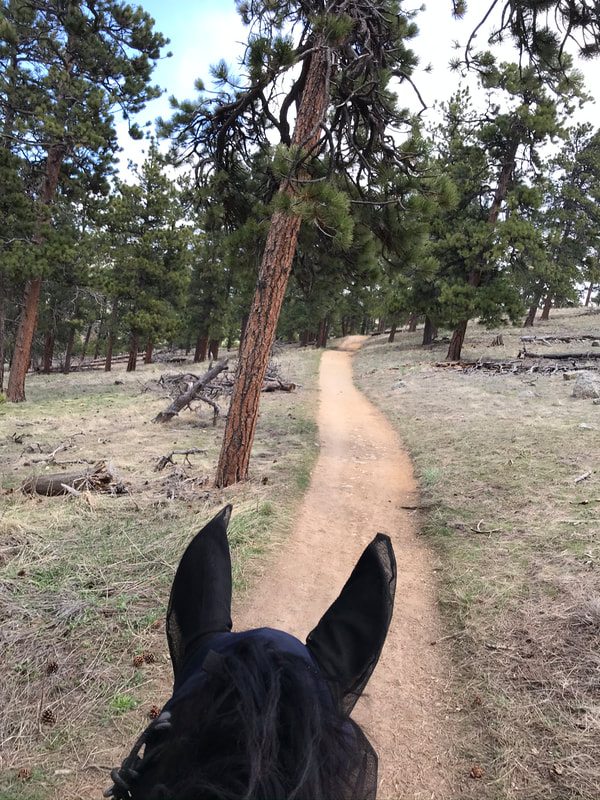
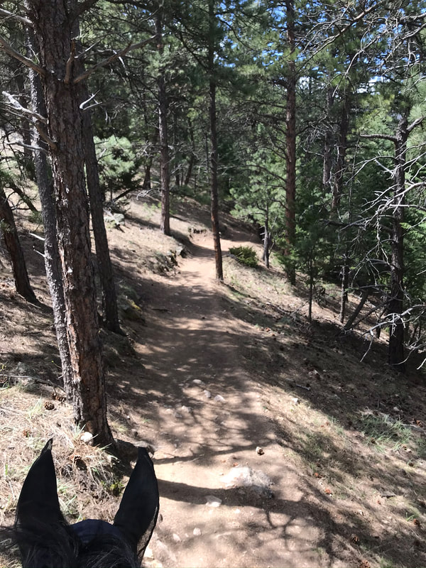
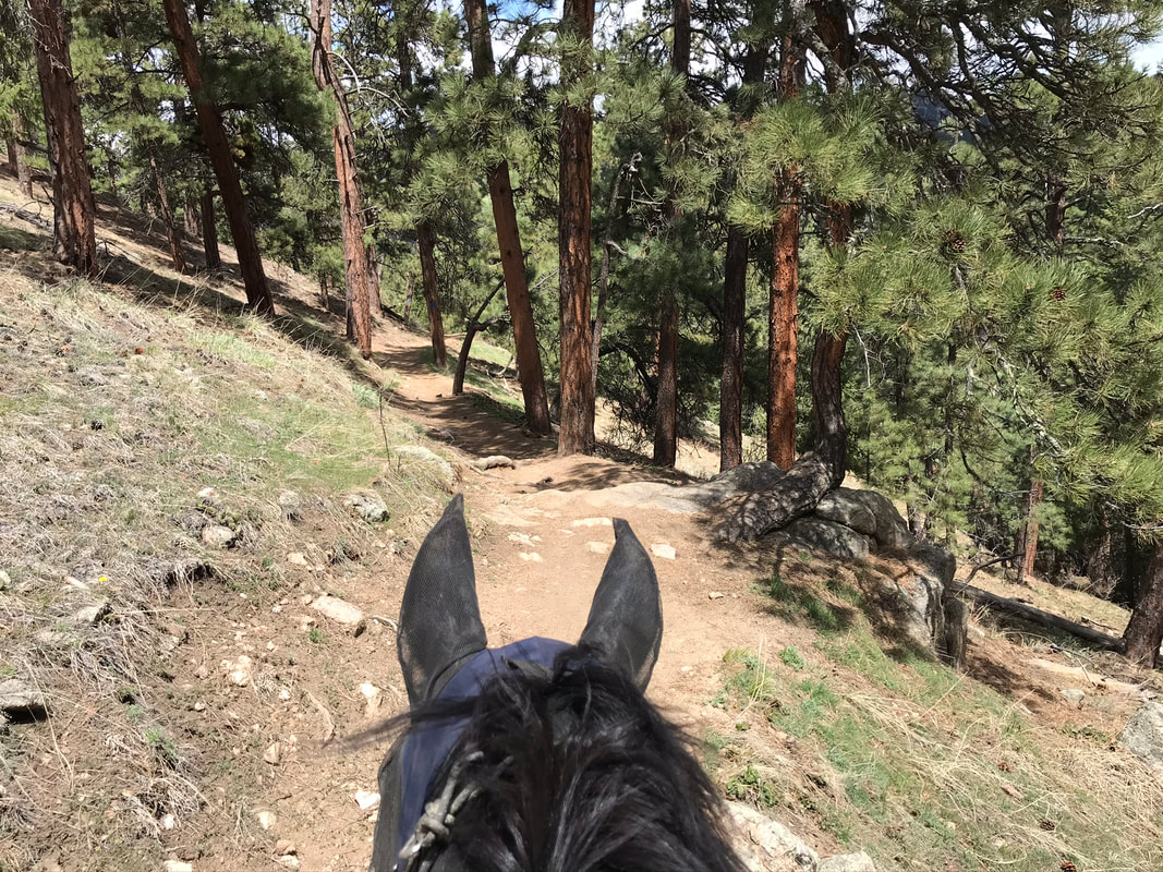
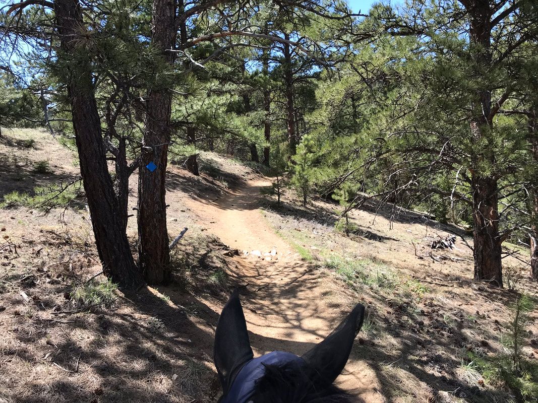
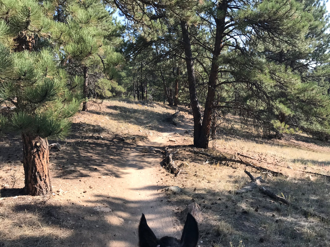
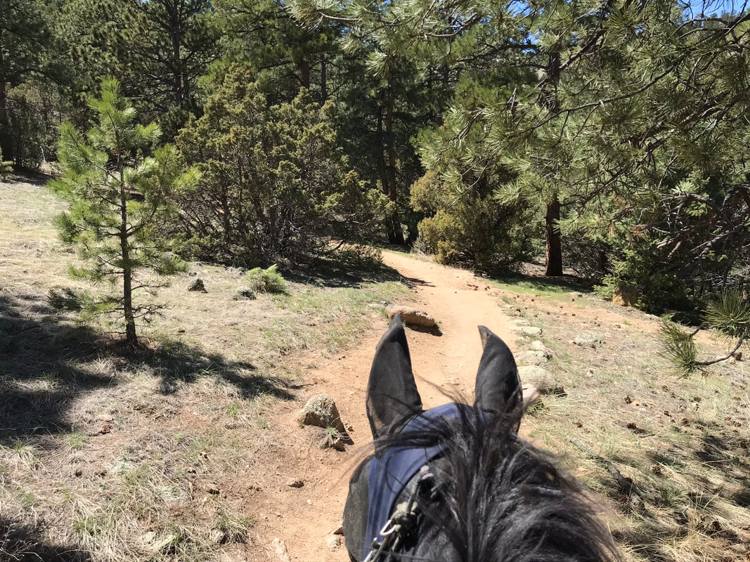
We enjoyed this narrow trail winding through the trees.
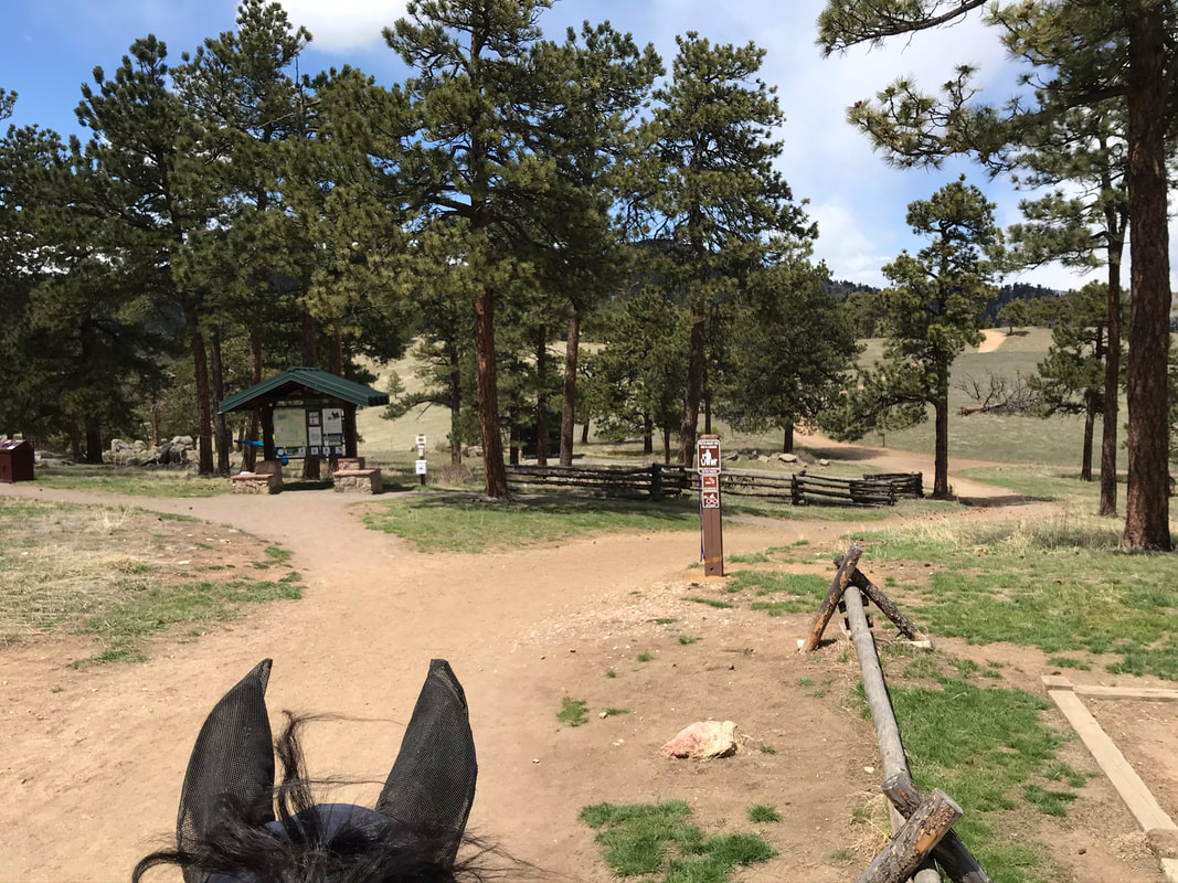
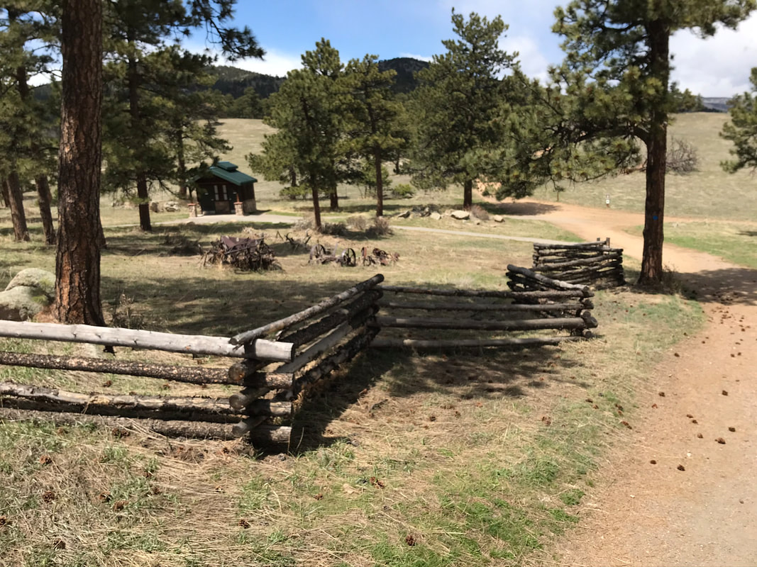
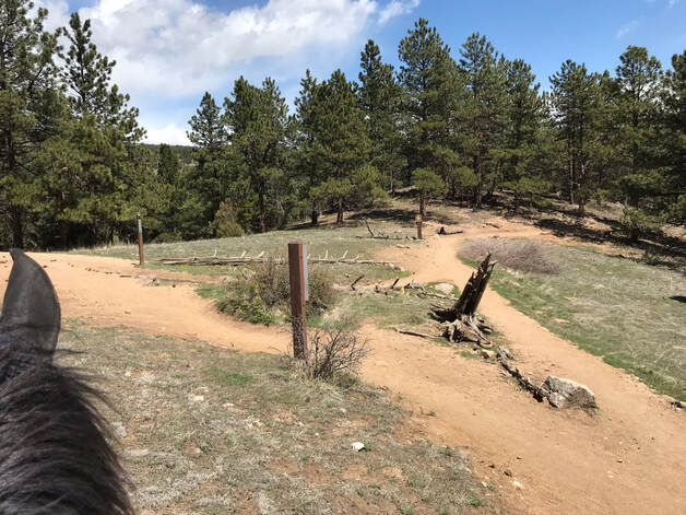
There was a map, trash cans and bathrooms at the main trail-head. We walked through the main trail-head to pick up Canyon Loop Trail.
|
|
The left and right fork are both the Canyon Loop Trail. We decided to go right or counter-clockwise first. There were no bikers allowed on Saturday.
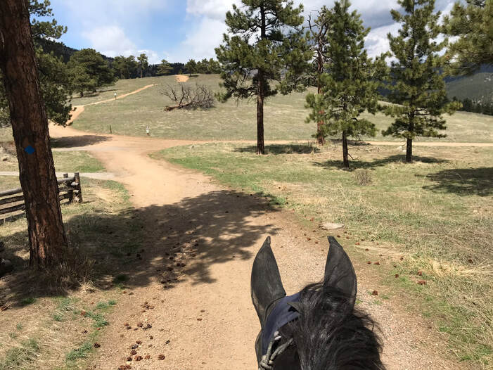
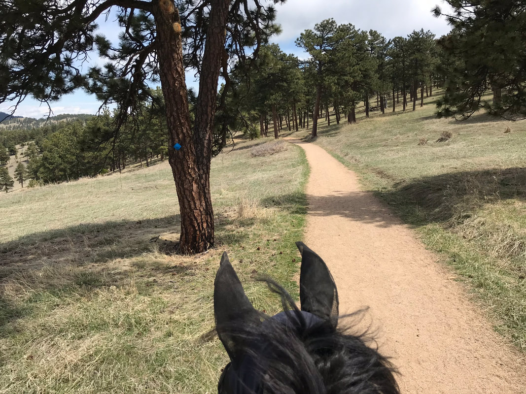
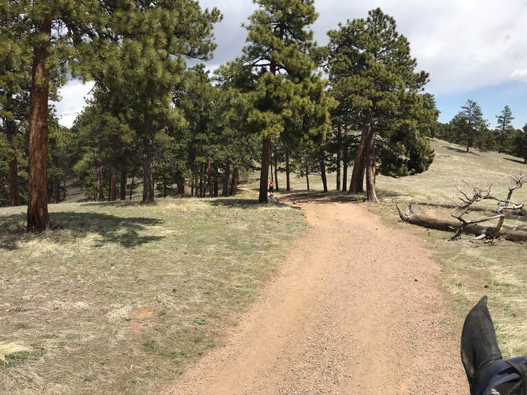
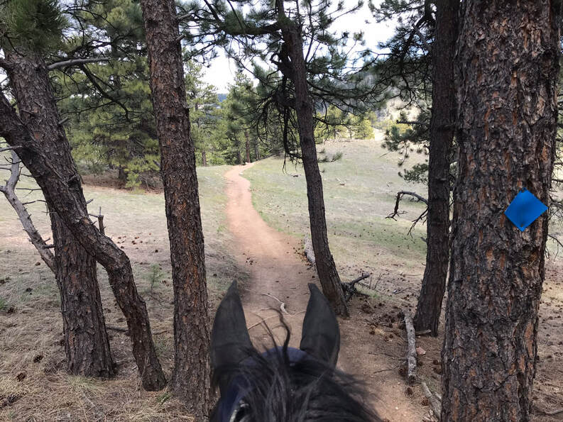
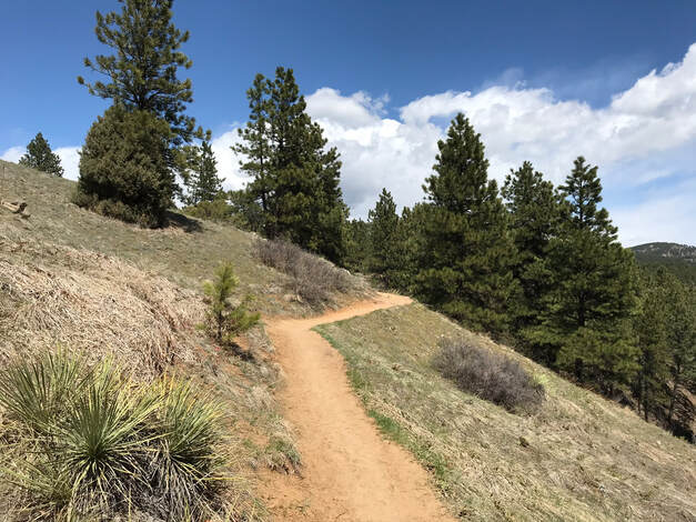
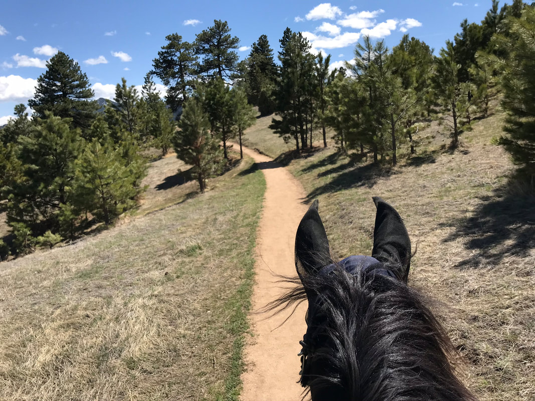
The trail started out sandy, soft and wide and wove through the trees. The trail was marked with the blue diamonds.
|
|
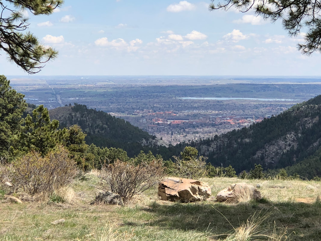
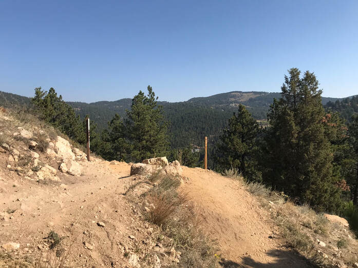
We came up to a scenic overlook.
|
|
|
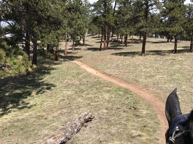
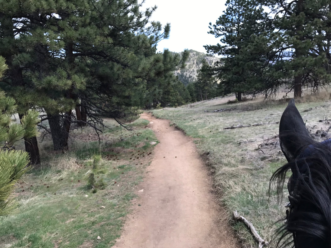
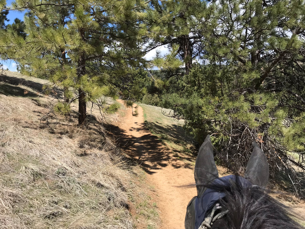
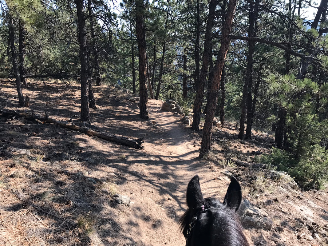
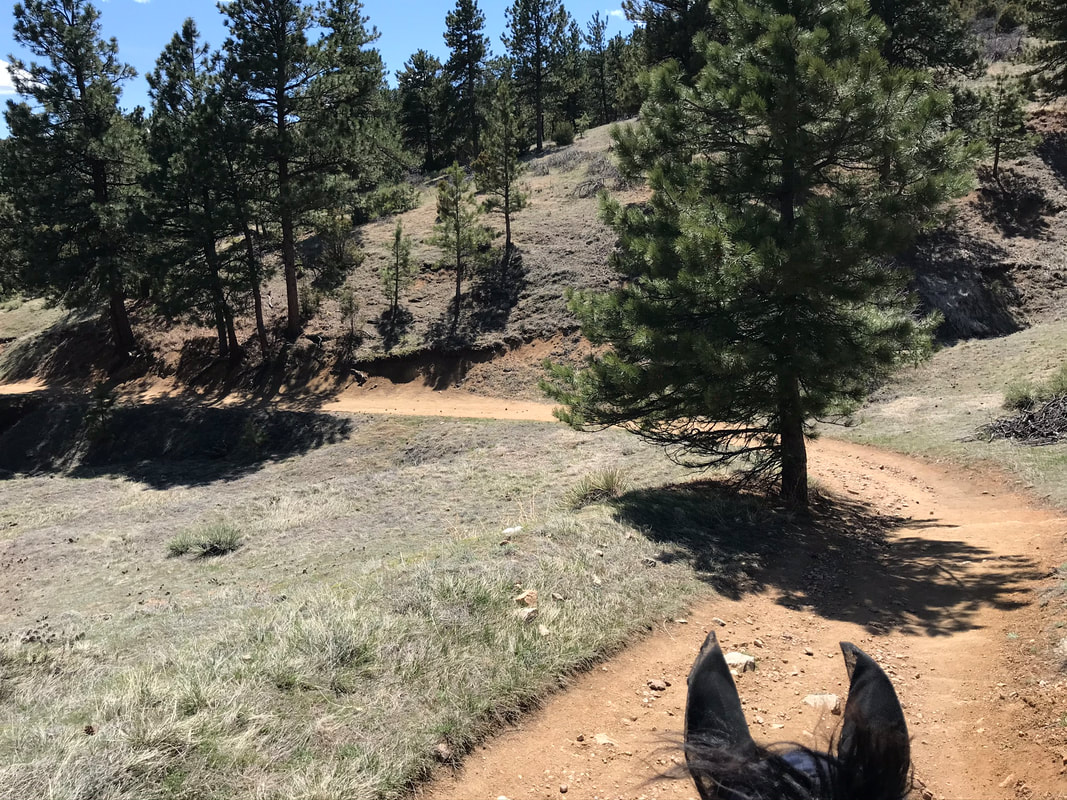
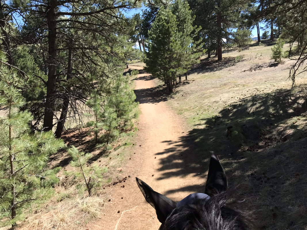
We continued on and started to wind through the trees.
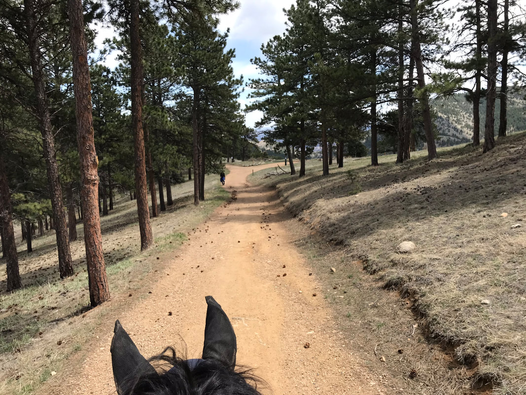
The trail was not too crowded for a Saturday during good weather. All the hikers we passed were very good at yielding to our horses.
|
|
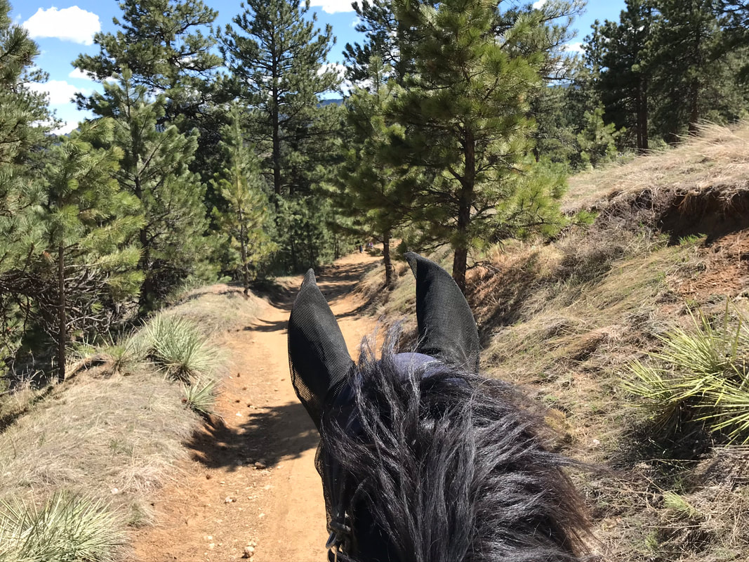
Sam did appreciate his fly mask, even for late April the bugs were out and the mask kept him comfortable.
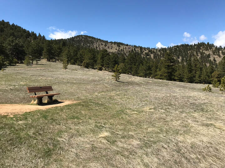
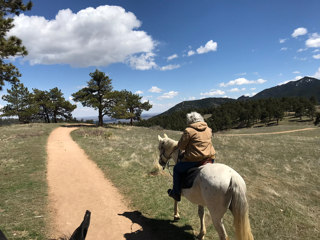
We came to another overlook and stopped for grass.
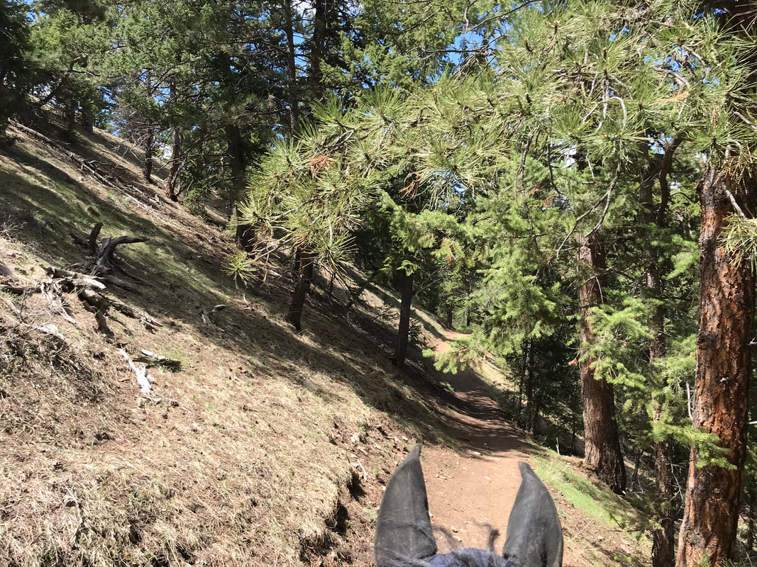
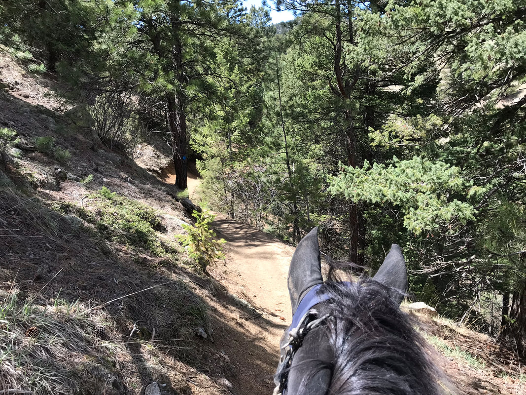
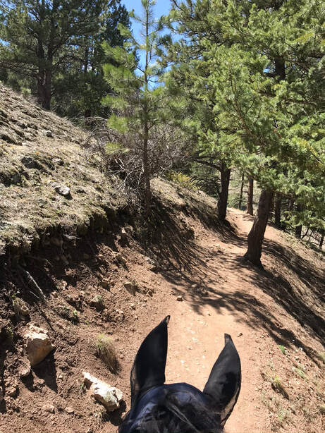
From here the trail narrowed and followed the ridge-line. We were right up against the edge of the hill-side.
The trail followed switchbacks along the side of the hill.
|
|
|
There was a small stream to cross at the bottom of this curve. I needed to dismount to help Sam across. There were places in the trail we had to step around rocks but we were able to walk carefully around them.
|
|
|
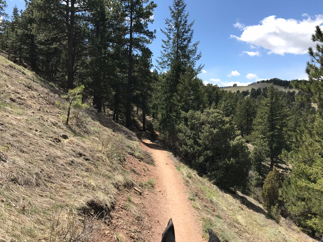
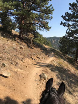
The views were stunning and the fresh mountain air and smell of pine trees was lovely.
This was a short trail, less than 3.5 miles but the views were wonderful and the winding trail was very inviting.
|
|
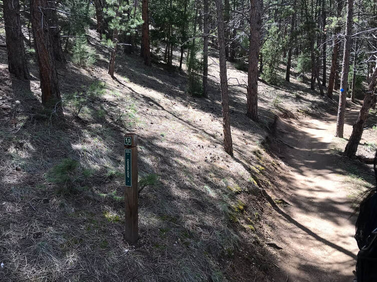
I really appreciated the mile markers. The mile markers counted down going counter-clockwise. This marker tells us we are about half-way and have another 1.5 miles left to reach the trail-head. It really felt like we were secluded in the middle of the woods so the trail marker and mileage really helped me feel better.
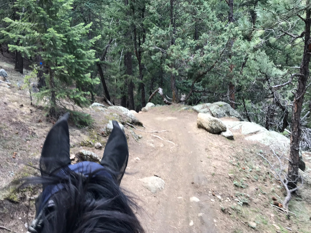
More beautiful trail winding through the trees.
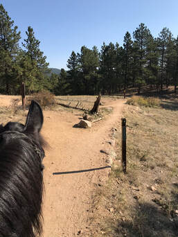
At the fork, go left to return to the trail head along Canyon Loop Trail. We rode the Loop Link Trail on another occasion. It added 0.8 miles both ways to add 1.6 miles to the trail.
|
|
|
|
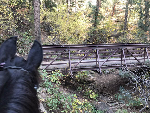
We did cross a larger and longer bridge. Sam was not sure about it but was brave and crossed it.
We followed the loop link trail to the fork for the Benjamin Loop Trail. I thought we would add this loop to our ride, adding another 2.4 miles. However, by the time we got to the fork we both decided it would be better to keep the trail short. This trail is a lot of up and down and at elevation it is easy to overdo it for our horses. We rode back the way we came to hook up with the Canyon Loop Trail.
|
|
The fork to the right goes to the Benjamin Loop Trail, another 2.4 miles. We stayed left and continued on Canyon Loop Trail.
|
|
We took another grass break in the meadow by the overlook. Even looking the opposite direction was beautiful.
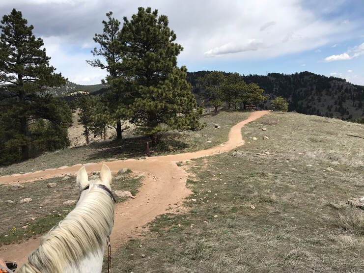
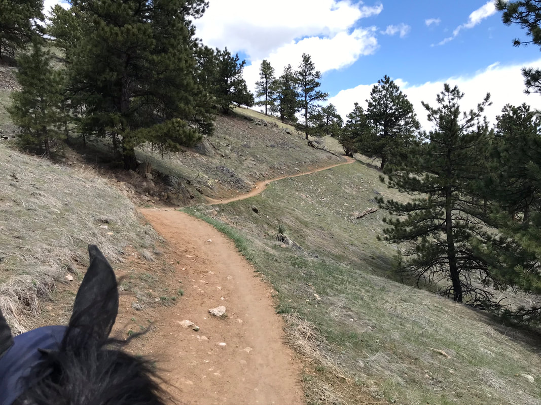
From here the trail widened and the footing became softer.
|
|
|
|
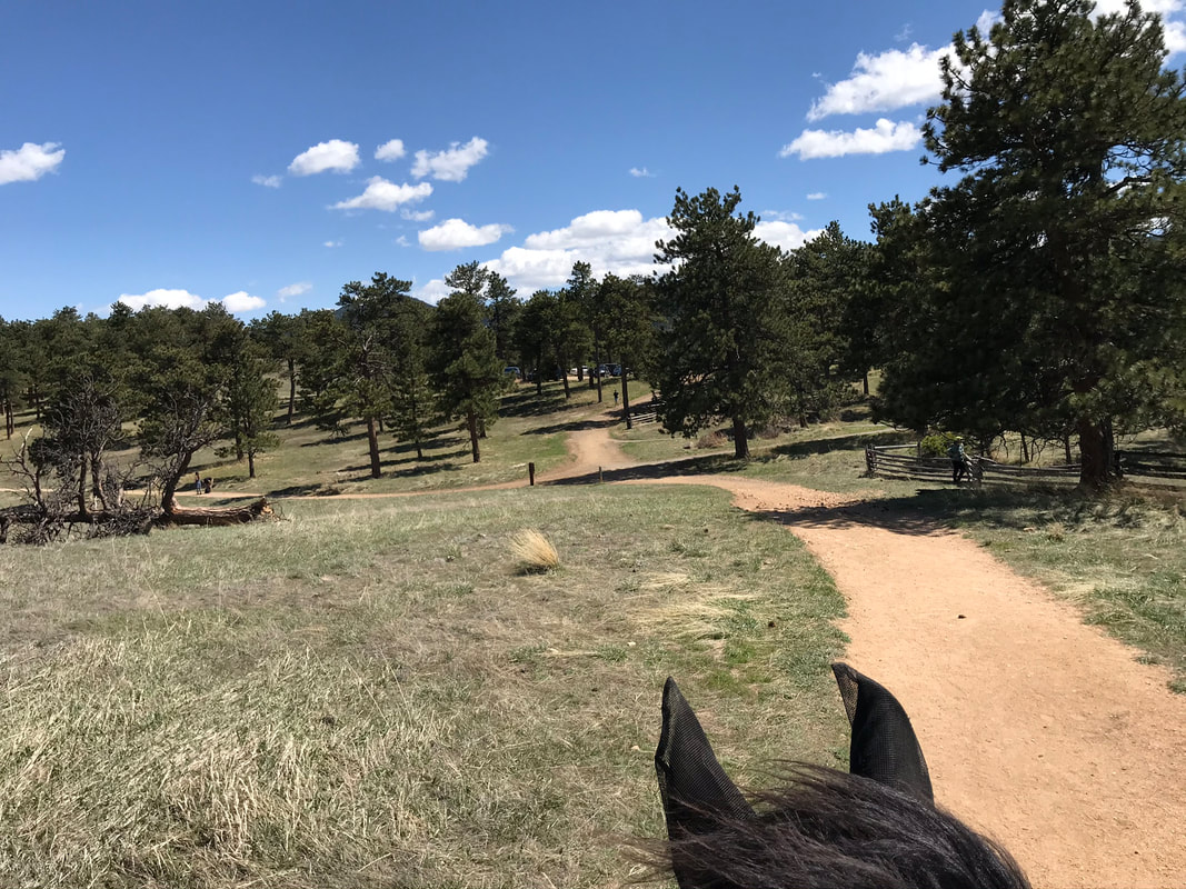
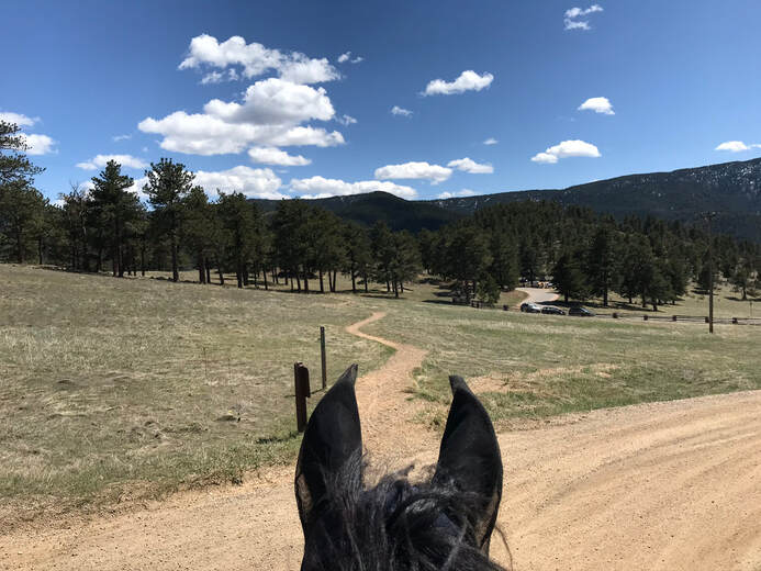
At this meadow we could see the parking lot and stopped for pictures and grass.

We headed back down the hill to the main fork of Canyon Loop Trail.
|
|
We crossed the parking lot and took Bummer Rock Trail to get back to our parking lot with the horse trailers.
Rating
Moderately Easy! If you are not afraid of a trail on the edge of a hill and your horse is shod this is a wonderful easy trail on a Wednesday or Saturday when bikers are not allowed. Sam is a mountain goat and the elevation gain, moderately rocky and narrow trail did not bother us. This was a pretty uncrowded and lovely trail where you feel like you are alone in the mountains although the trail is not far away from the parking lot.
