Highline Canal - Plumb Creek
LocationFrom C-470: Go south on Highway 85 for 4 miles to Titan Rd. Turn west on Titan Rd. for 2 miles to Roxborough Park Rd. Go north on Roxborough Park Rd. for 1.5 miles. The trailhead is on the east side of the road.
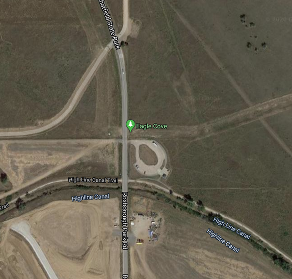
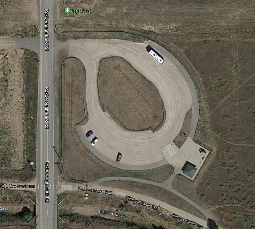
Don't google "Eagle Cove" you will get directed to a very not horse-friendly parking lot in Chatfield on the north side where horses are not allowed. This marker on google maps is misleading. |
Website |
PDF Map
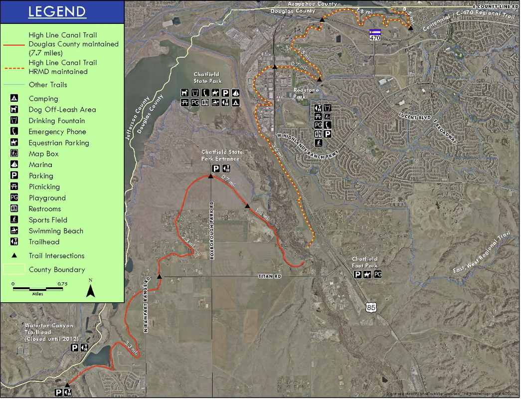
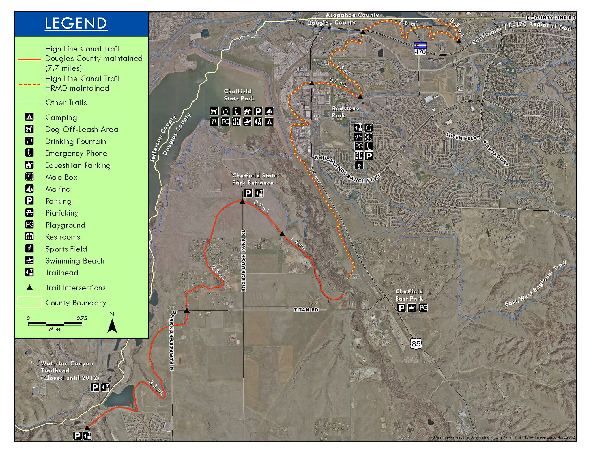
Trail Map
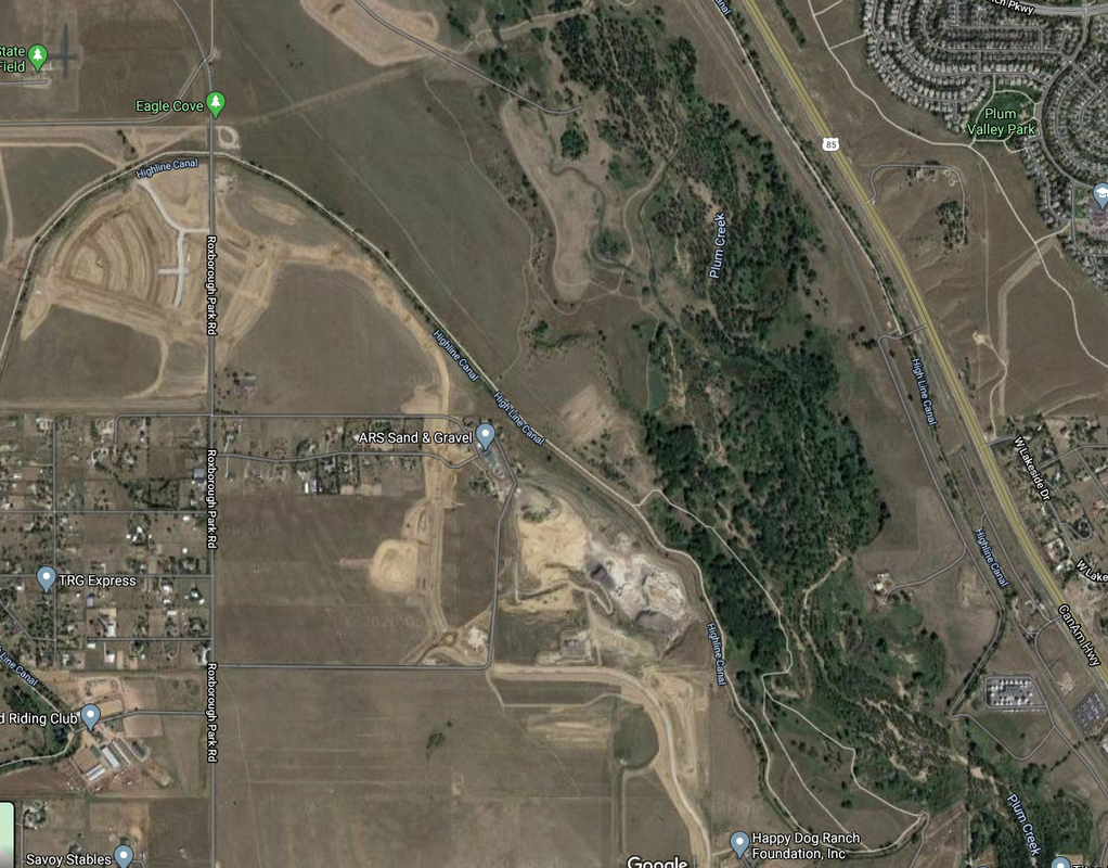
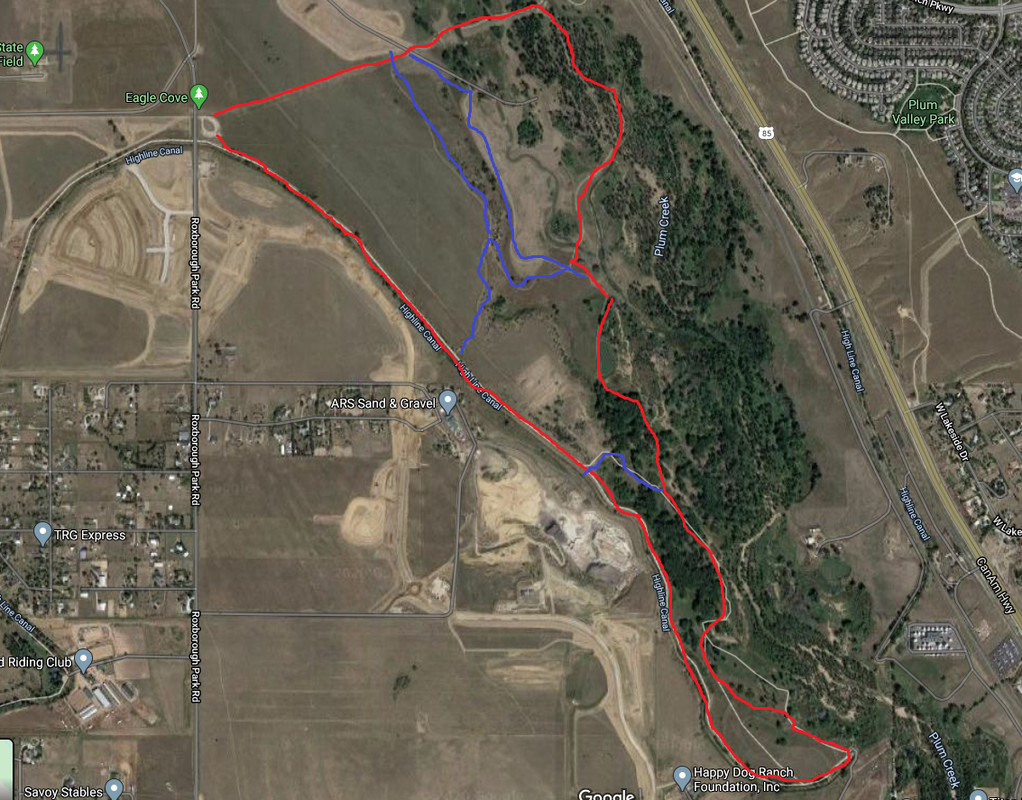
The official Douglas County map isn't super helpful but google maps satellite shows the trail outline pretty well.
Park Fees
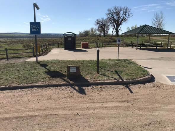
Free! This trail-head is not technically in Chatfield and there is no entrance fee.
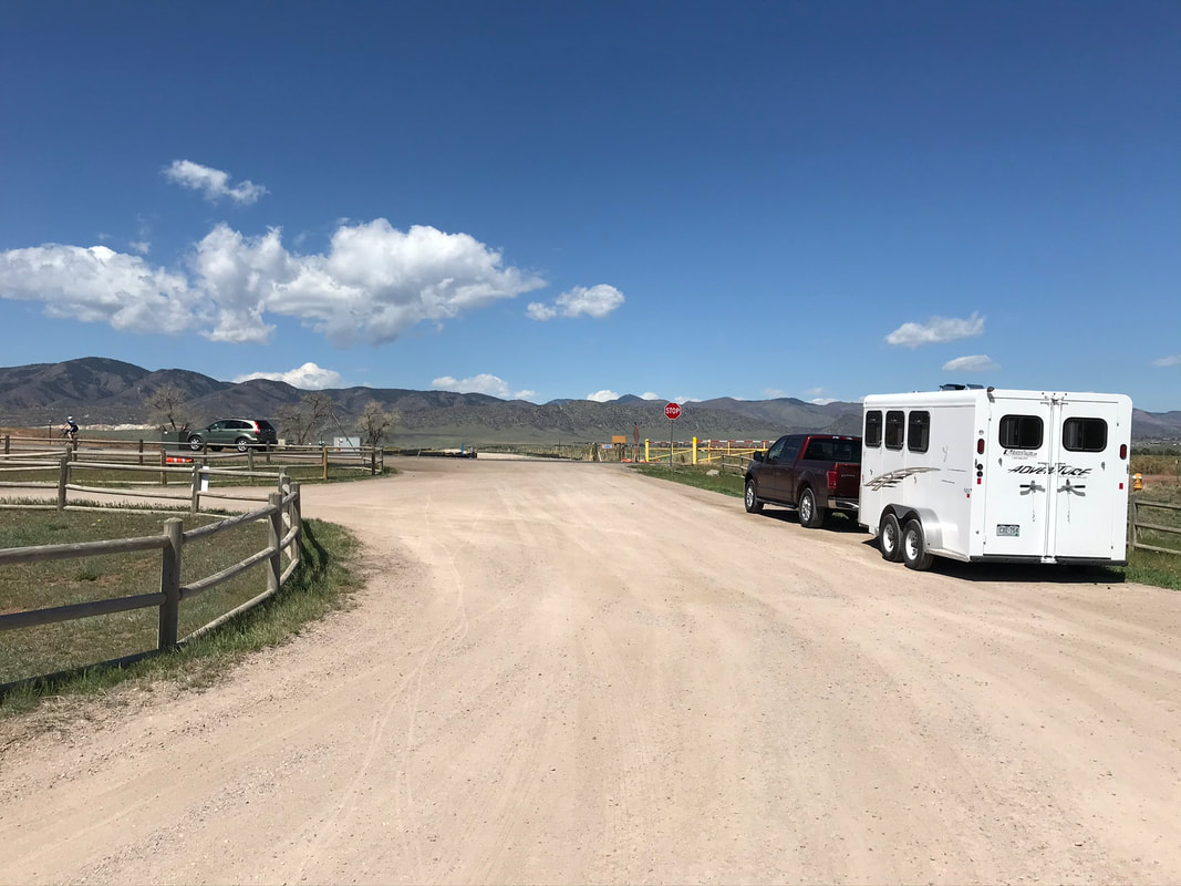
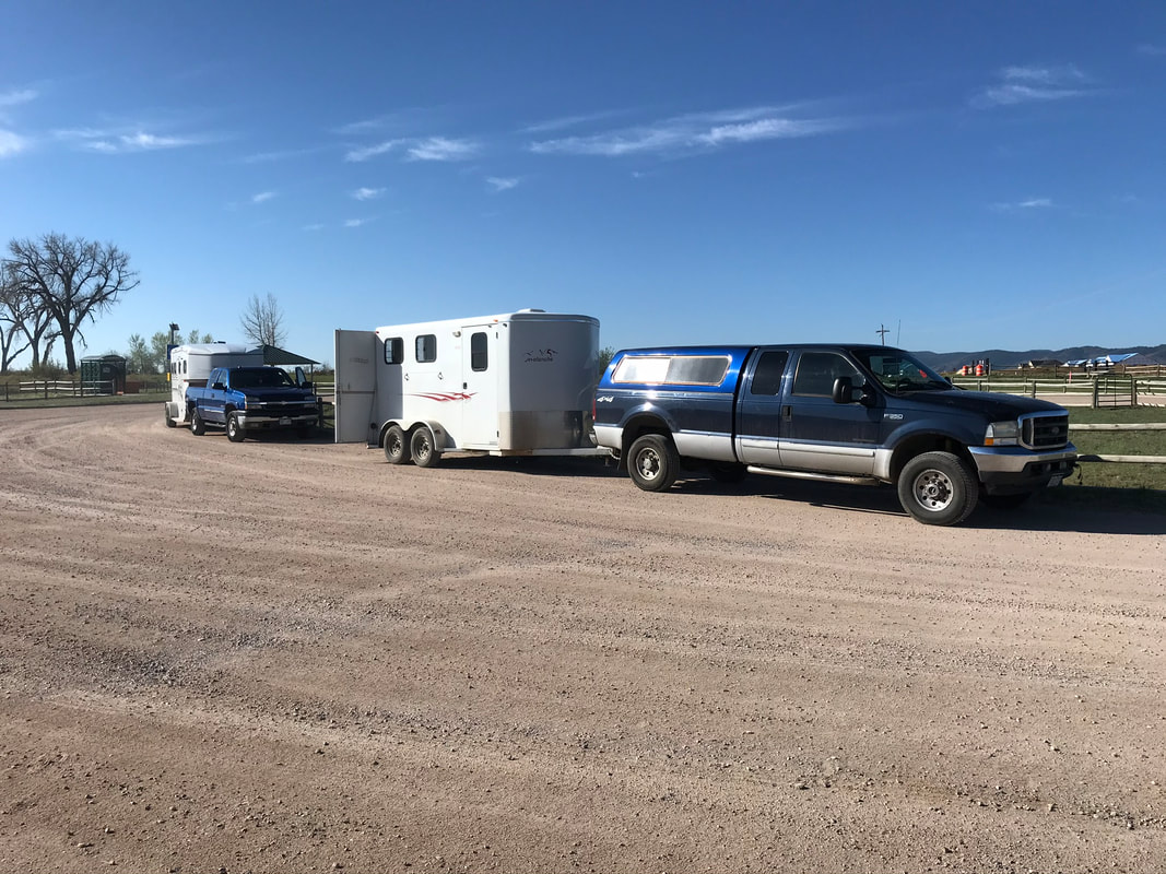
Trailer Parking
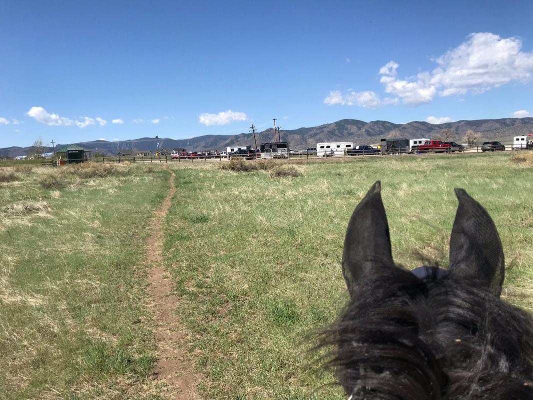
This trailer parking is amazing! It was a nice large circle with a sign designating it as horse trailer parking on the north-east part of the circle loop. Yvonne and I parked around 9am and when we finished our ride at 11am there were 6 horse trailers parked with room for more! There was a mounting block and a tie-rail. The middle area was fenced with a gate that opened that could also act as a horse corral!
|
|
|
|
BathroomsPorta Potty with hand sanitizer.
|
WaterNone available.
|
Mounting
There was a very handy "mounting step" by the tie-rail.
Footing
Soft and sandy footing going east on the Highline Canal Trail then packed dirt single-track through the Plumb Creek trails of Chatfield. Barefoot ok, but Sam always does better with shoes on.
Horse Hazards
Very few horse hazards on this trail! Sam mostly looked at the large trees and cut up lumber we passed. We did see some bikes and hikers on the Chatfield trails. We saw a snake slide off the trail but did not think it was a rattle-snake. We opted to cross some water and bridges but you could also pick another trail home that avoids these obstacles.
Chosen Trail
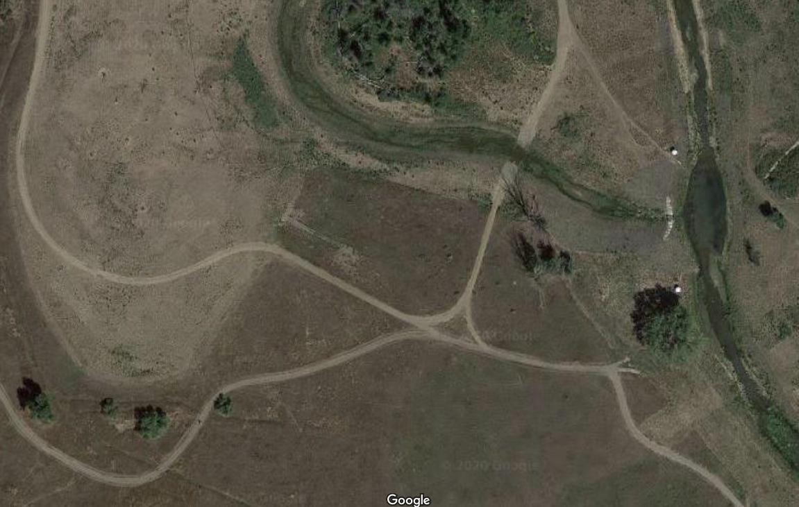
We chose to ride south on the Highline Canal Trail then weave our way back north through the Plumb Creek Chatfield trails. The Chatfield trails are unmarked but you can just wander through the forest heading north and you will find your way back to the trailhead. I could check our location on google maps satellite so I didn't feel too lost. We rode for 2 hrs and covered around 4.8 miles at a very brisk Sam speed walk with periodic grazing breaks. The red line is approximately the trail we took. If your ride the blue line trail alternatives you can bypass the water crossing and two of the bridges.
Trail Experience
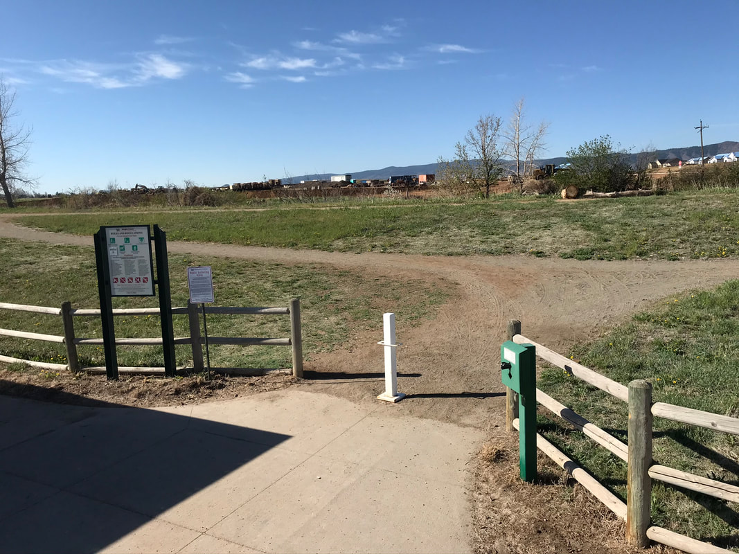
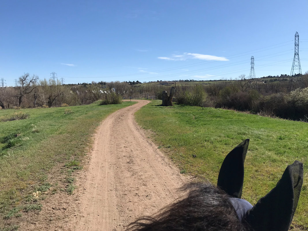
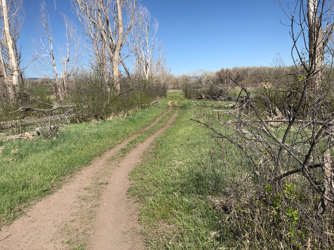
We headed out of the southern end of the trailhead to catch the Highline Canal Trail and headed south.
|
|
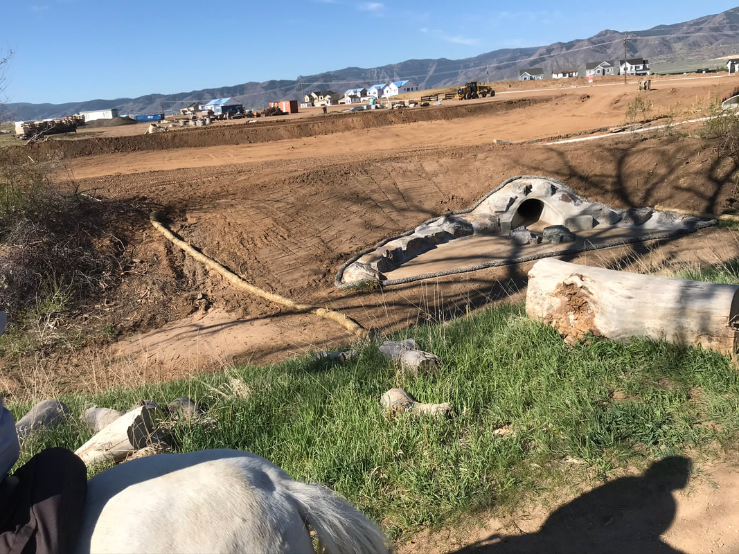
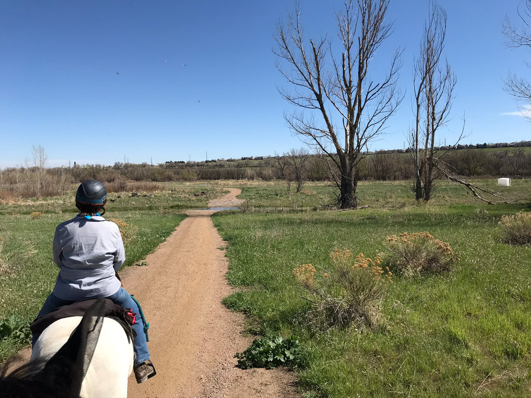
There is new housing construction on the west side of the canal. Sam looked at this drainage pipe but kept walking. The trail was wide enough to ride side-by-side and was soft enough for Echo's bare hooves.
|
|
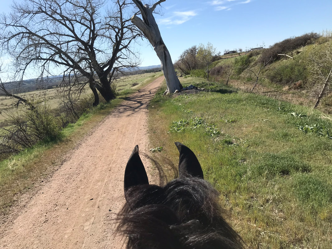
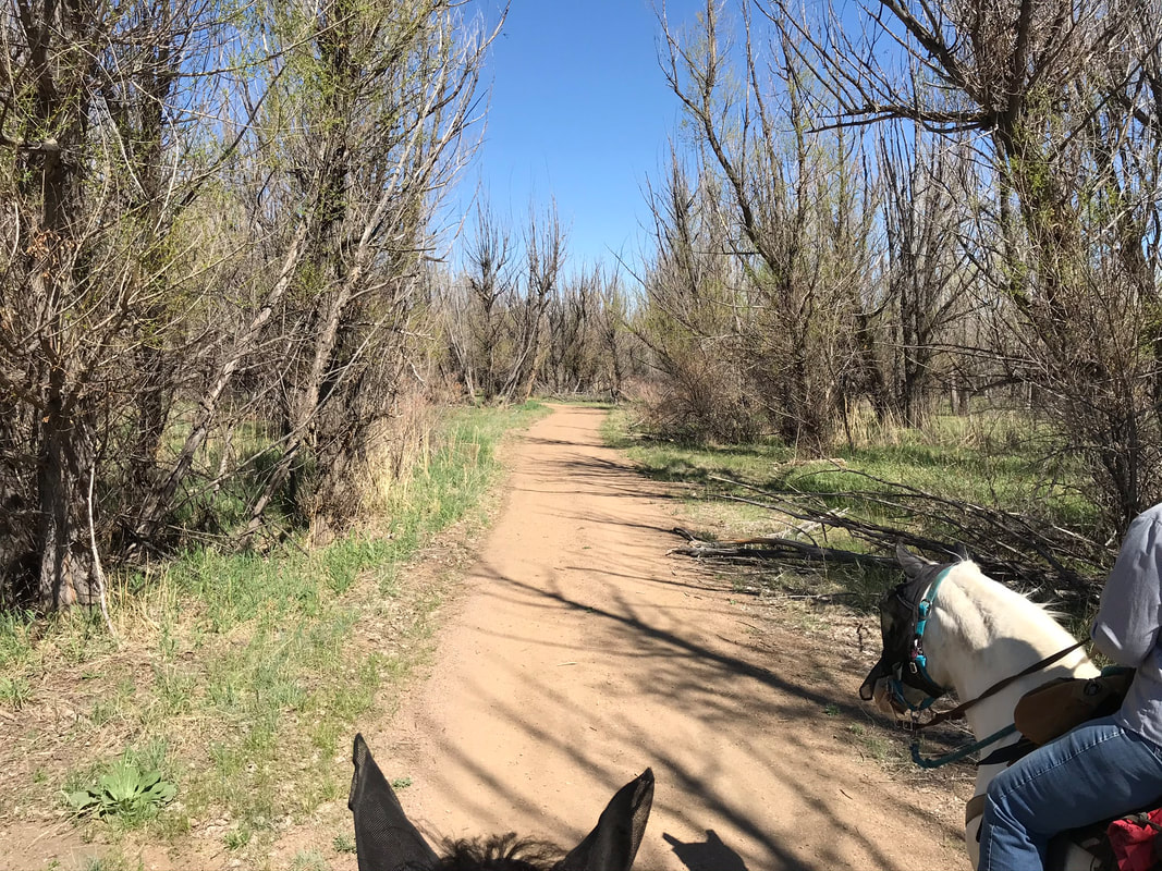
The trail was fairly hazard-free but Sam did look at a pile of tree limbs and this very large strange-looking tree.
|
|
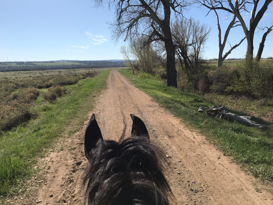
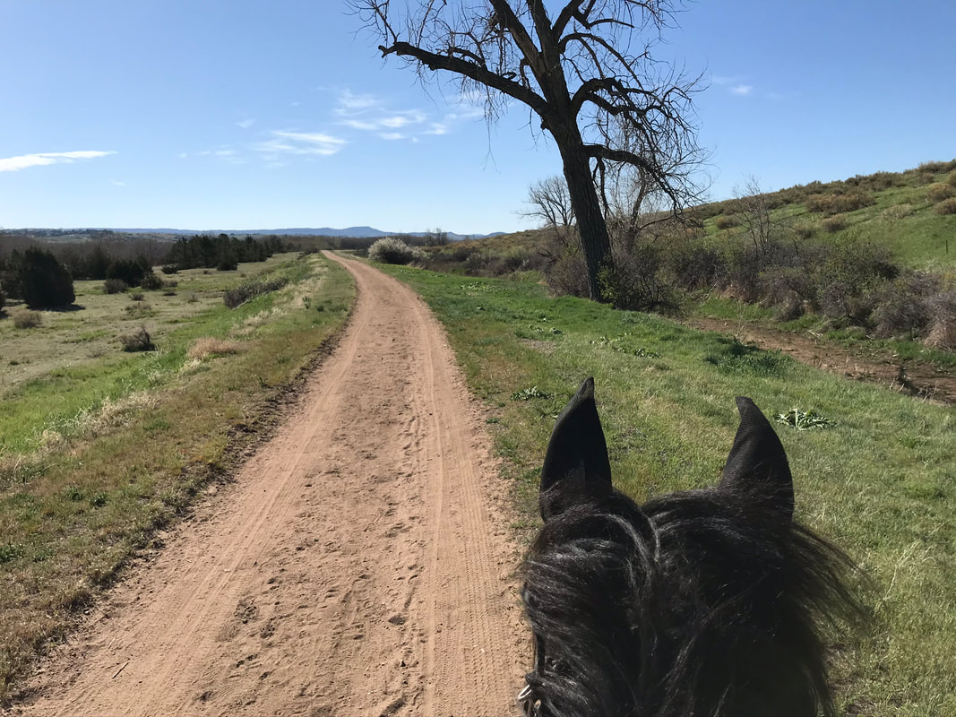
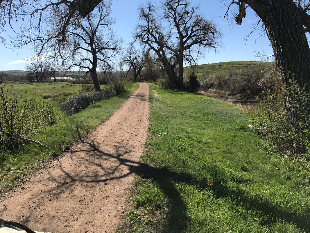
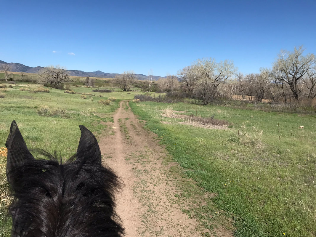
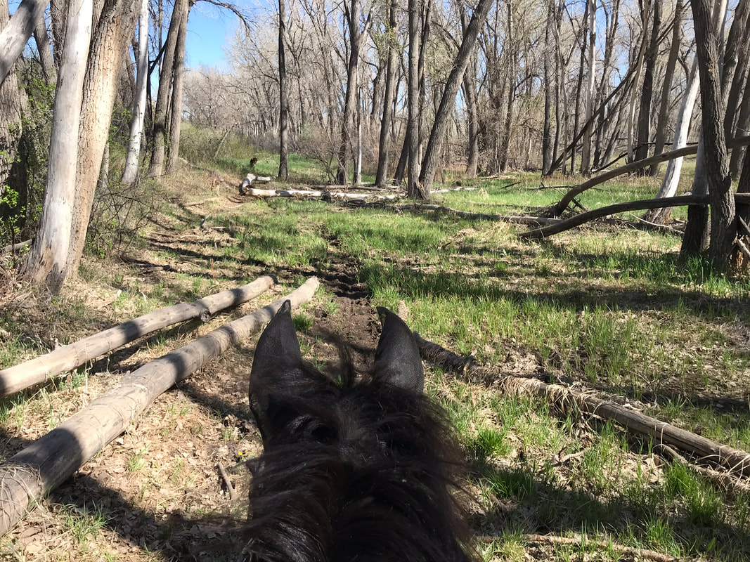
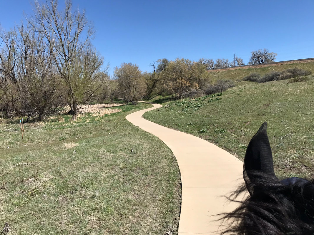
We passed the most northern main branch of the trail that led down to the Plumb Creek area. We continued south on the main Highline Canal Trail.
|
|
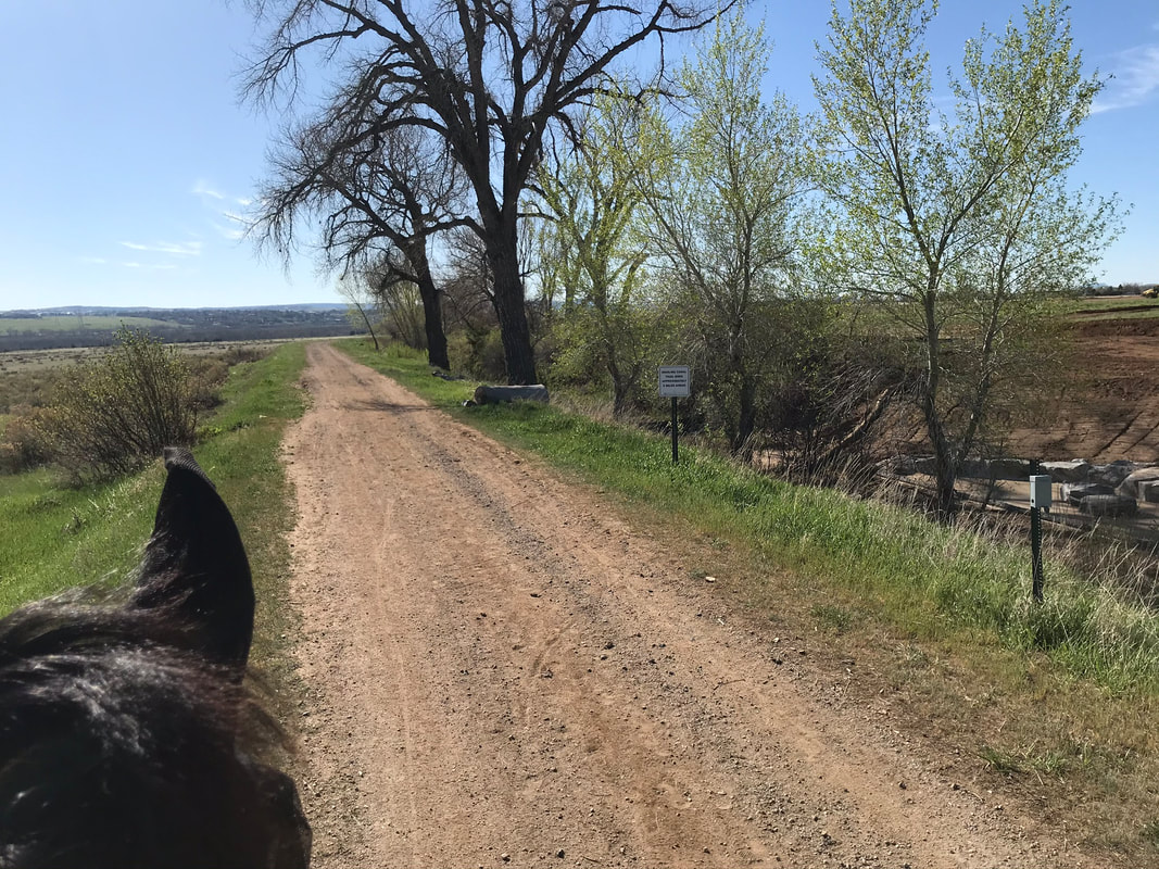
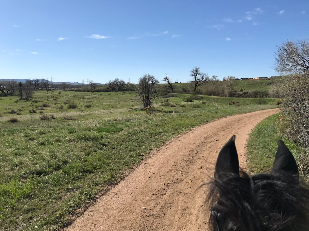
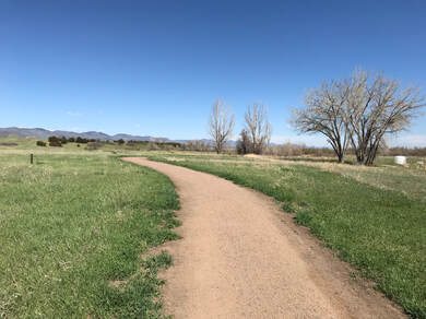
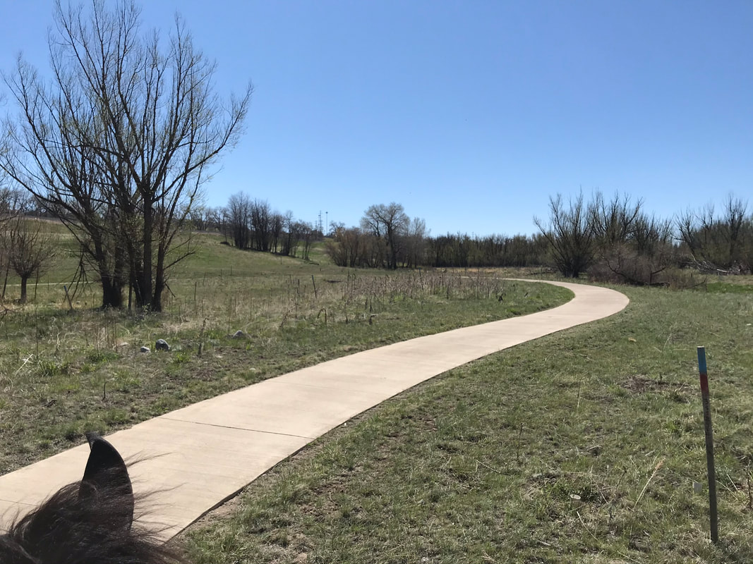
This would be a great trail to trot or gait.

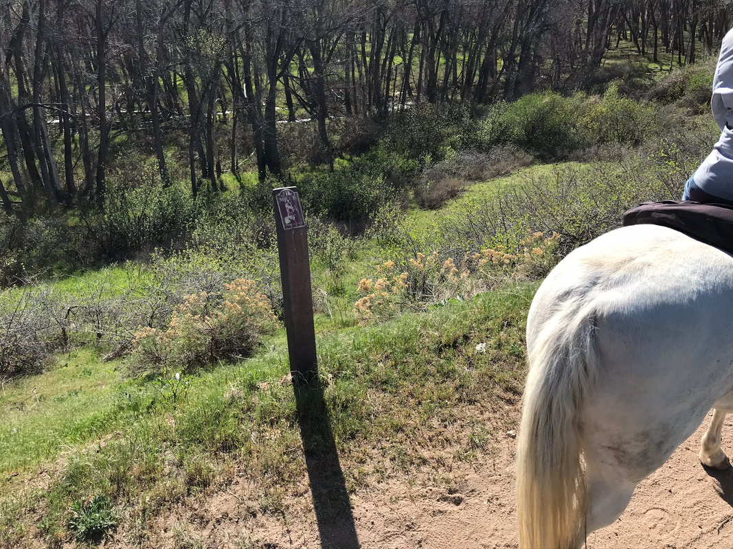
Pictured below is a mile marker #8, The Highland Canal Trail starts at Waterton Canyon and goes all the way to Green Valley Ranch and is 71 miles long! We rode from mile 7 to 9 on this section of the trail.
|

|
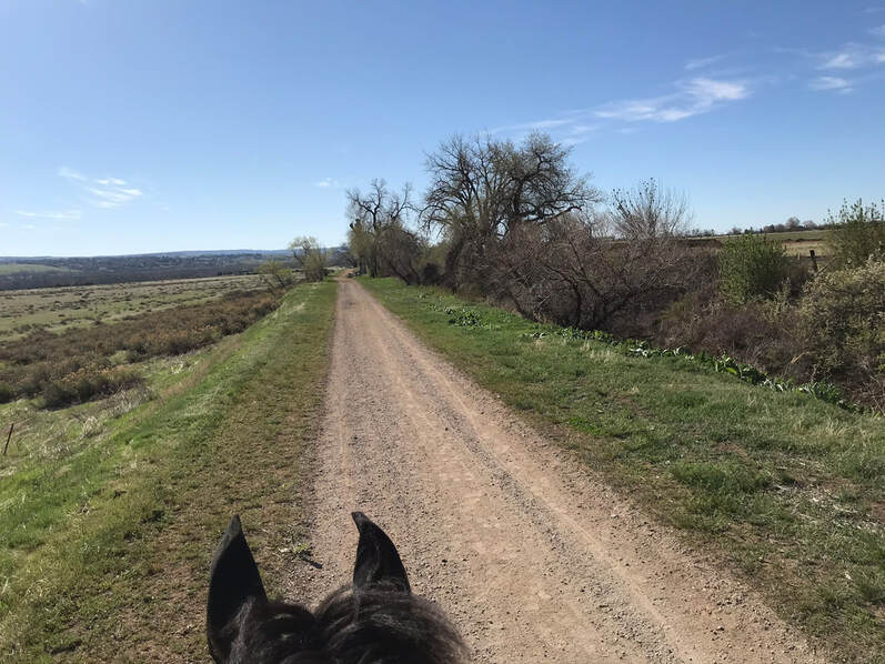
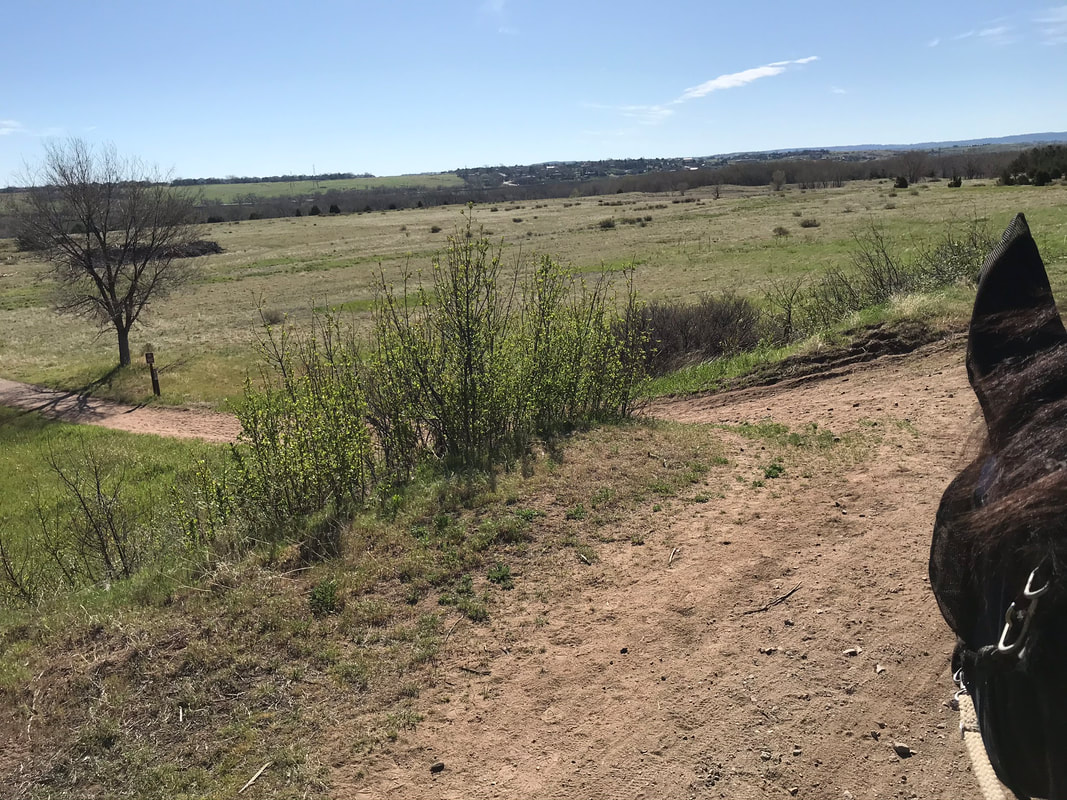
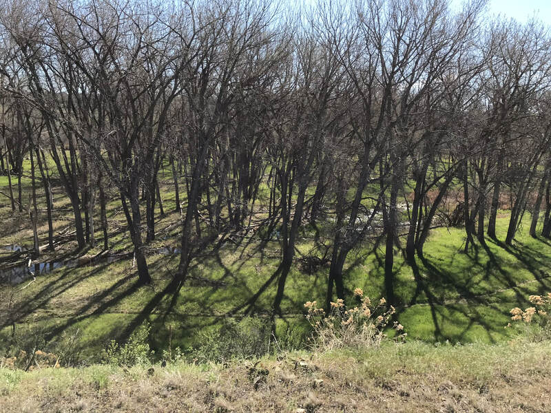
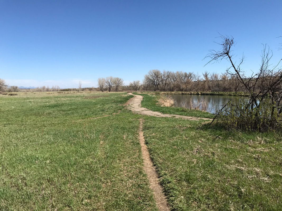
Looking down from the trail to the east is the pretty Plumb Creek Nature Area we would ride back north through.
|
|
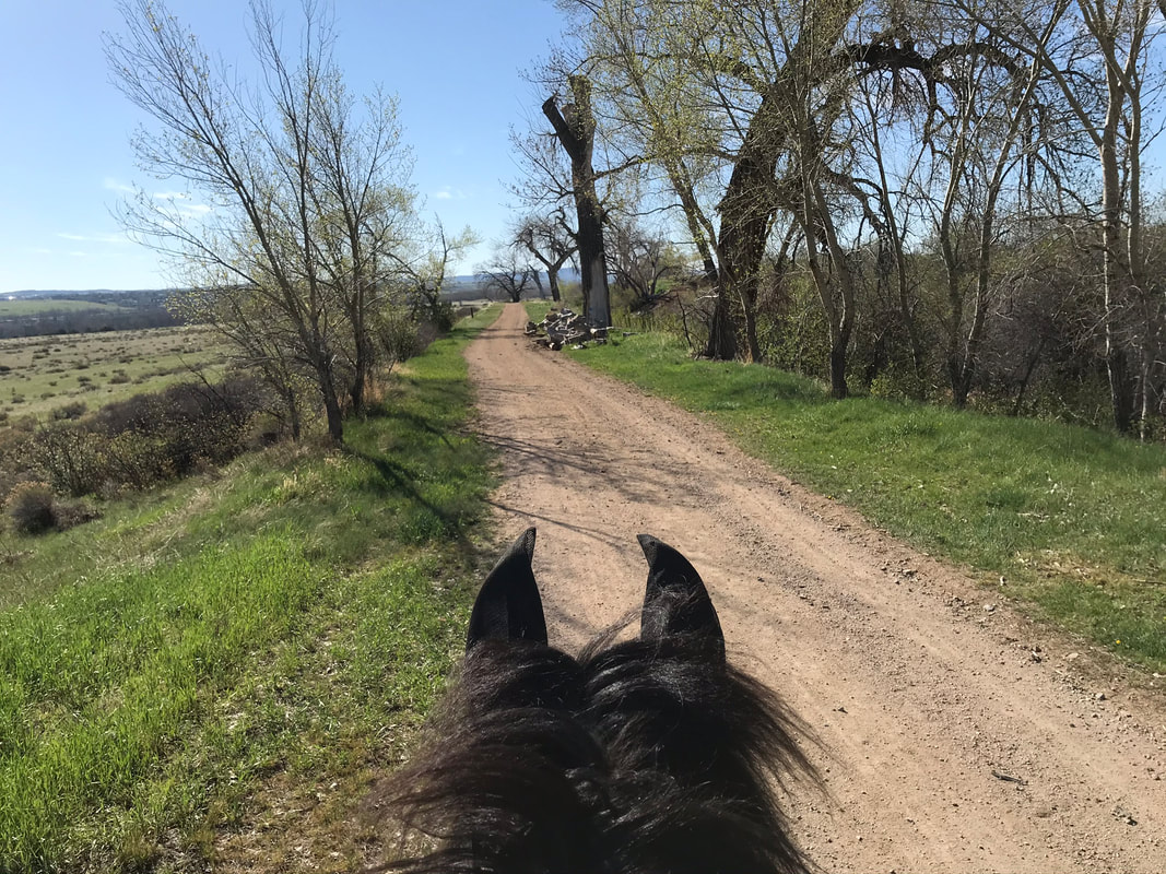
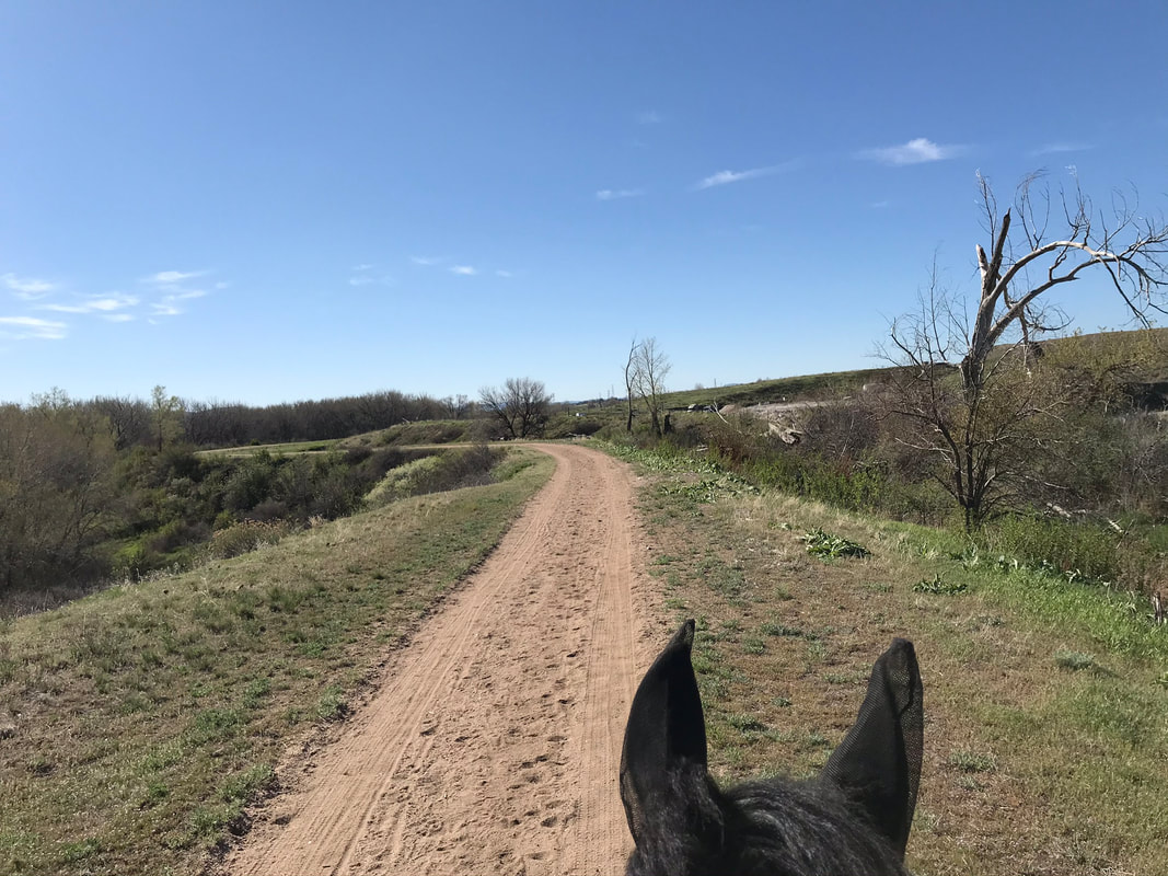
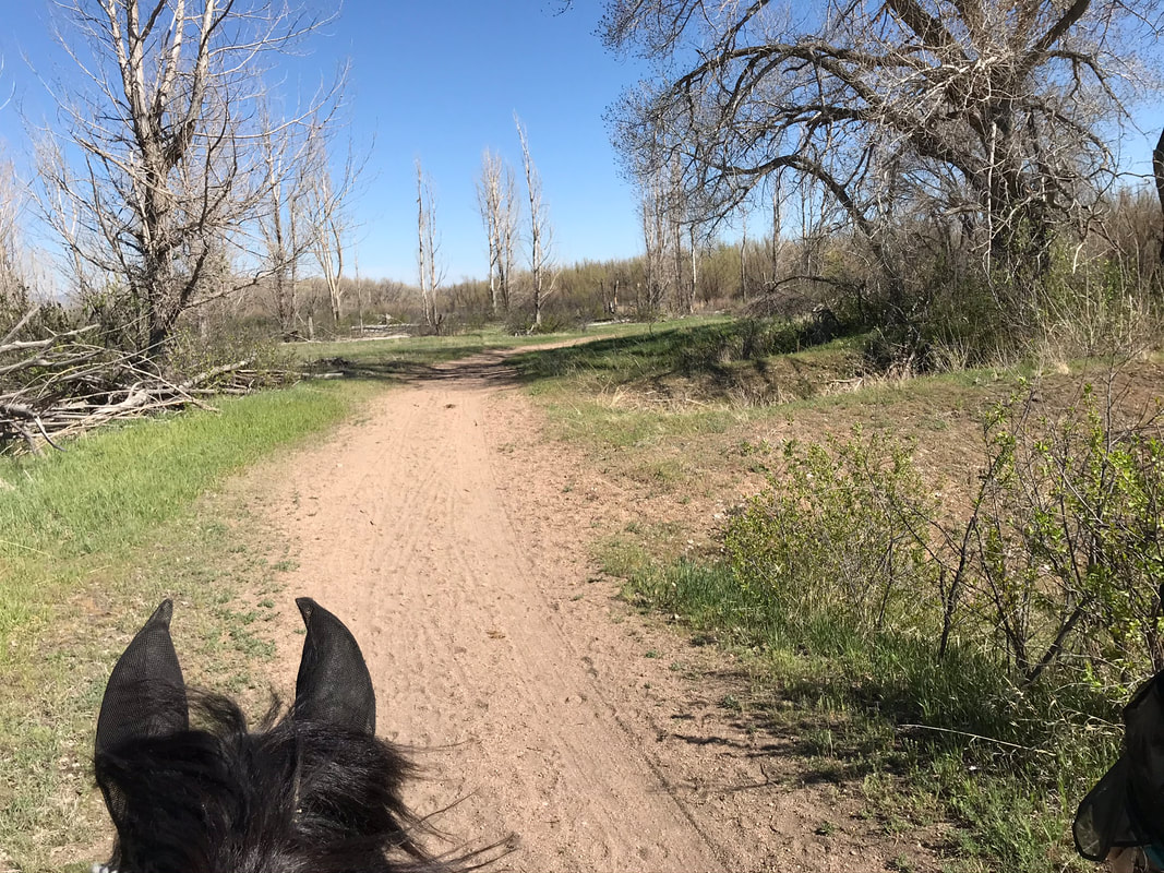
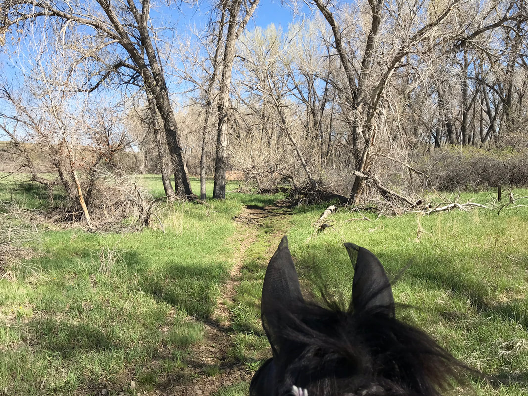
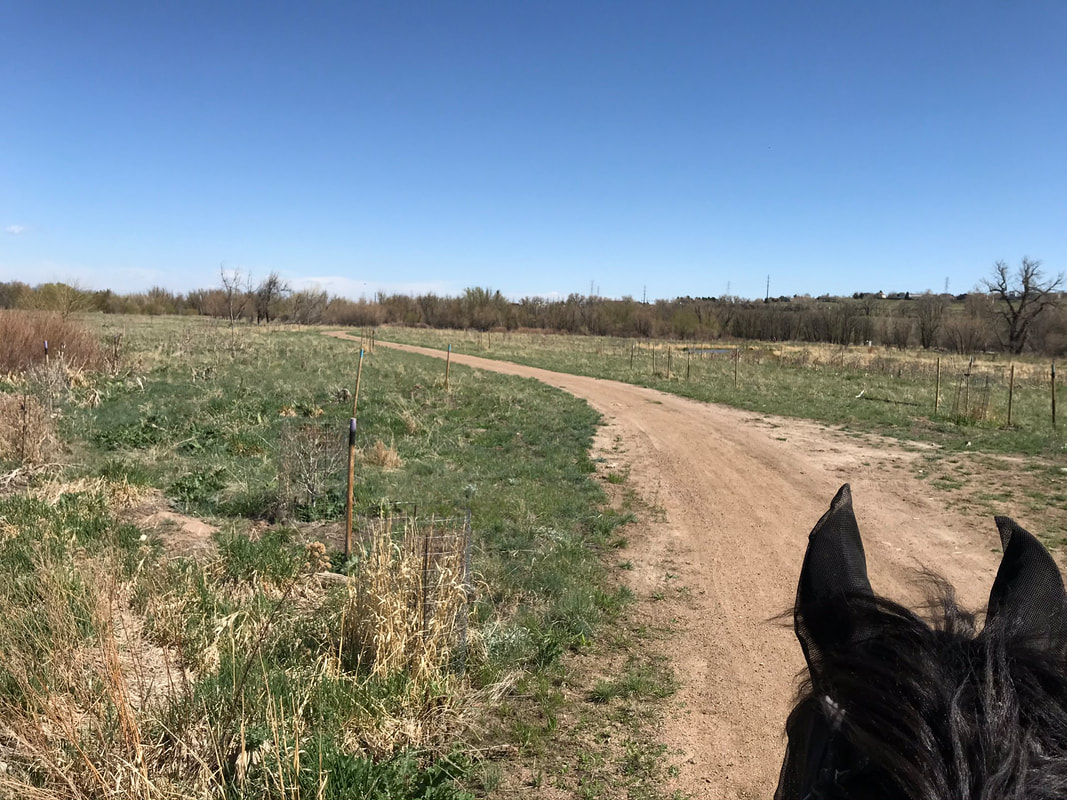
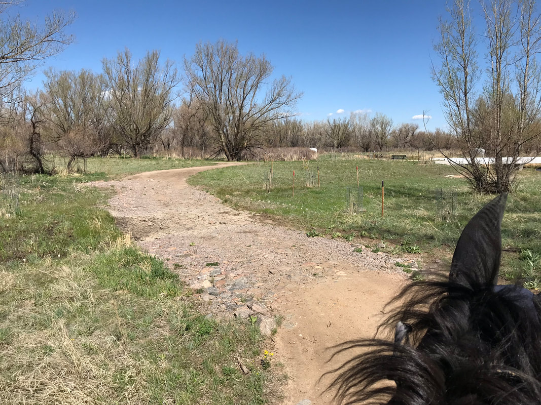
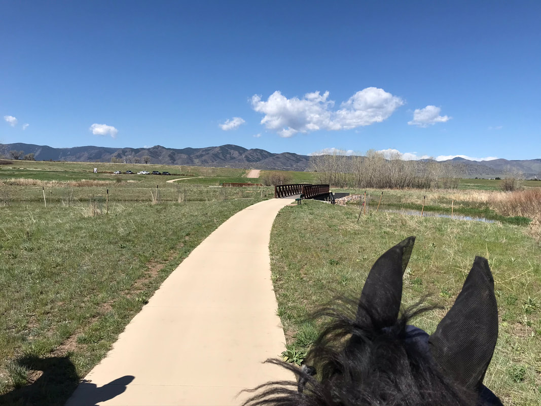
The fence at the end marked the end of the Highline Canal Trail. We took the trail to the left down the hill to ride north in the Plumb Creek trail area of Chatfield.
|
|
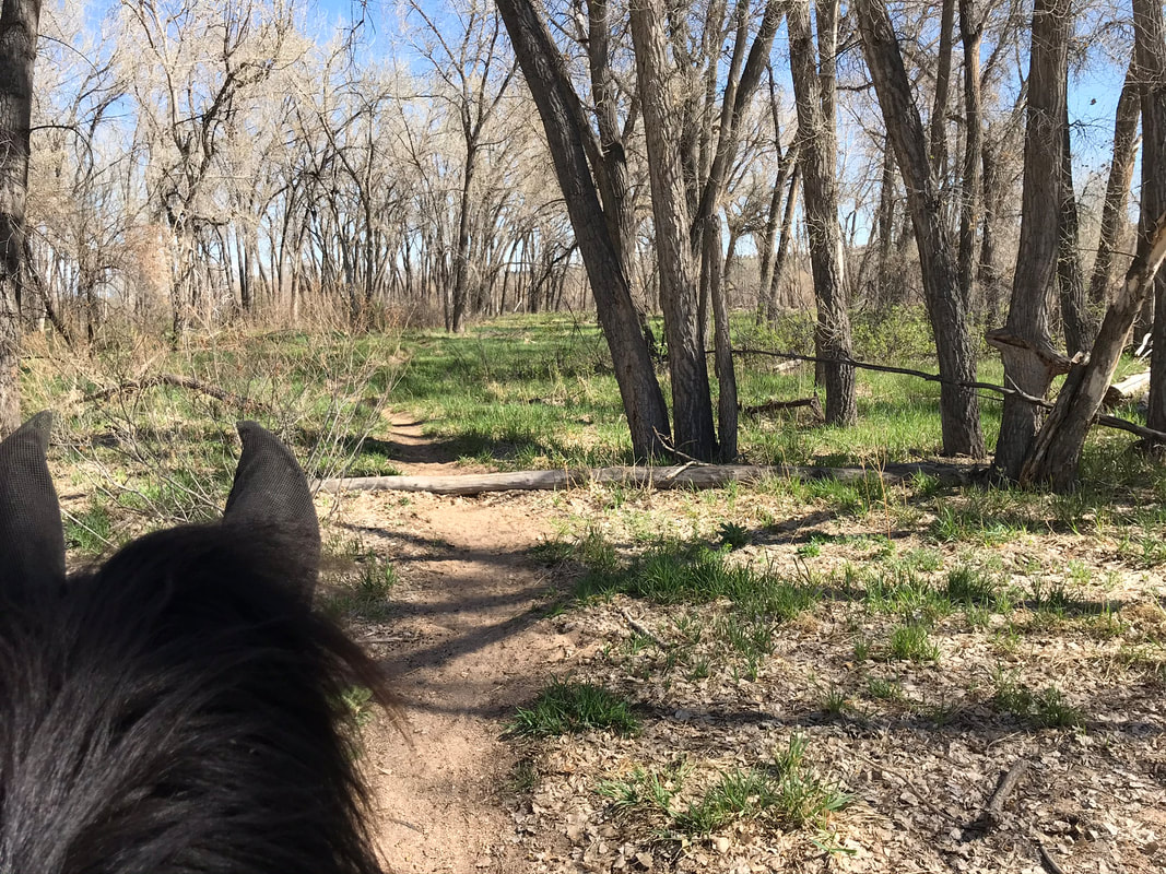
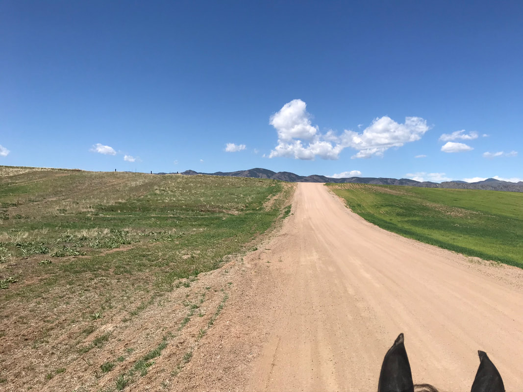
It started out wide.
|
|
|
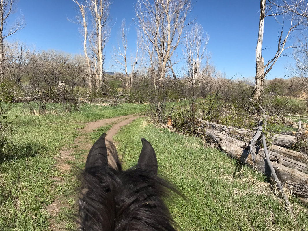
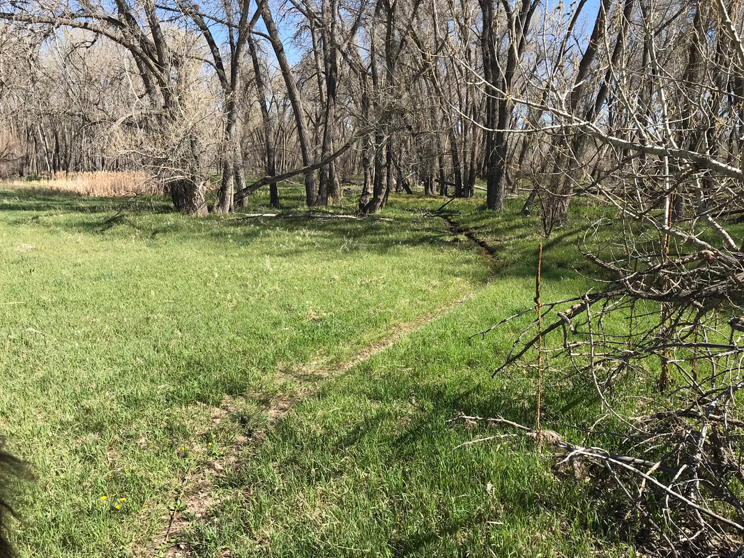
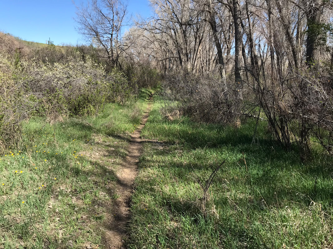
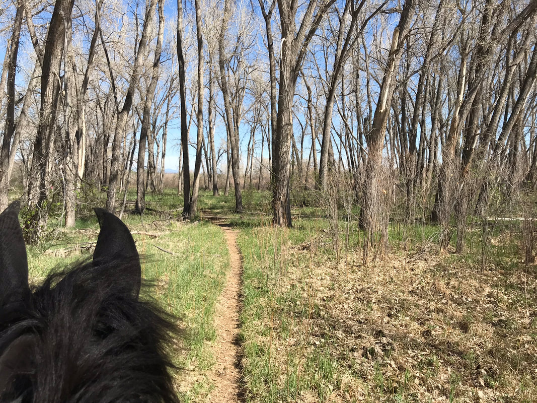
Then the trail narrowed to a single-track. We went through some muddier areas then found another trail to the left that was on dryer ground.
|
|
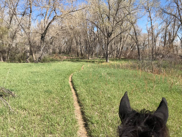
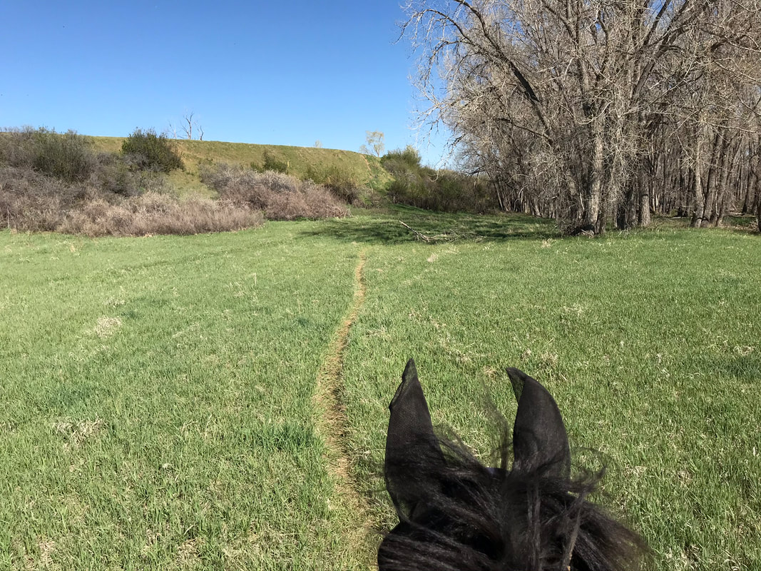
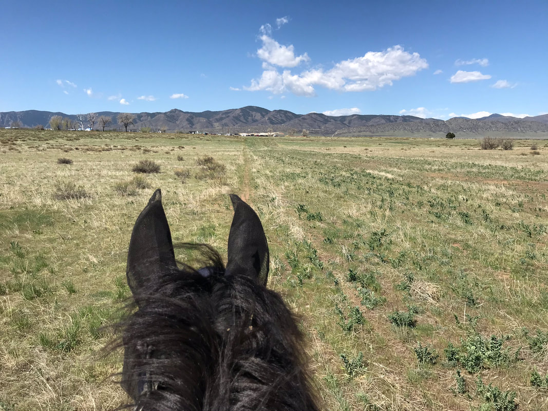
We stopped to graze in this beautiful meadow! The single track wove through the woods and we picked our way through multiple trail forks that are not obvious on the map.
|
|
|

We stepped over some logs in the trail, they were little but you could jump them if you want.
|
|
We met up with an old cement trail. We saw a snake on this part of the trail but it just slid off the trail when it sensed us coming toward it.
The trail widened and we came up to a fork. We chose to go right to extend our ride and go through a water crossing. If you want to avoid water crossings and bridges you should stay left.
|
|
Our horses loved the water! Even better there was grass to eat while standing in the water, horse heaven on a hot day!
|
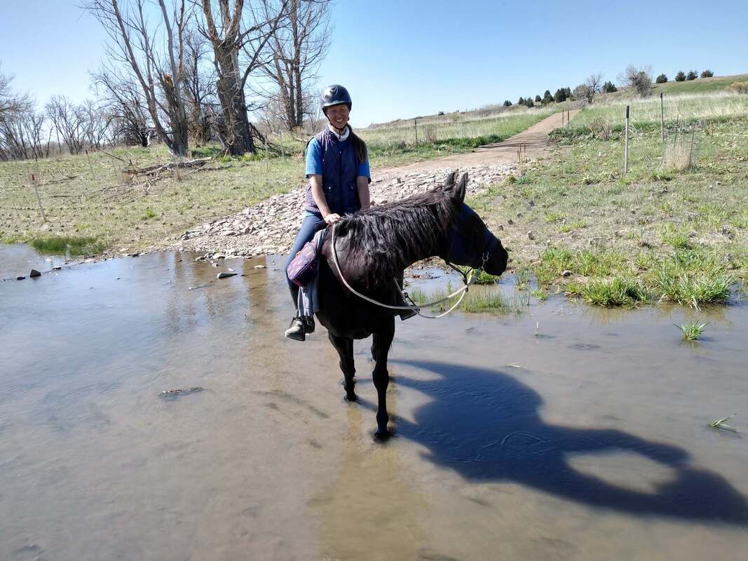
|
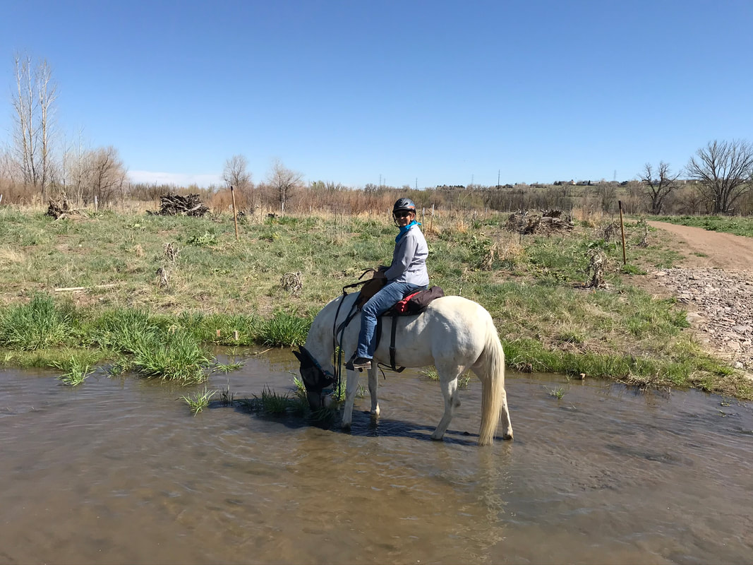
|
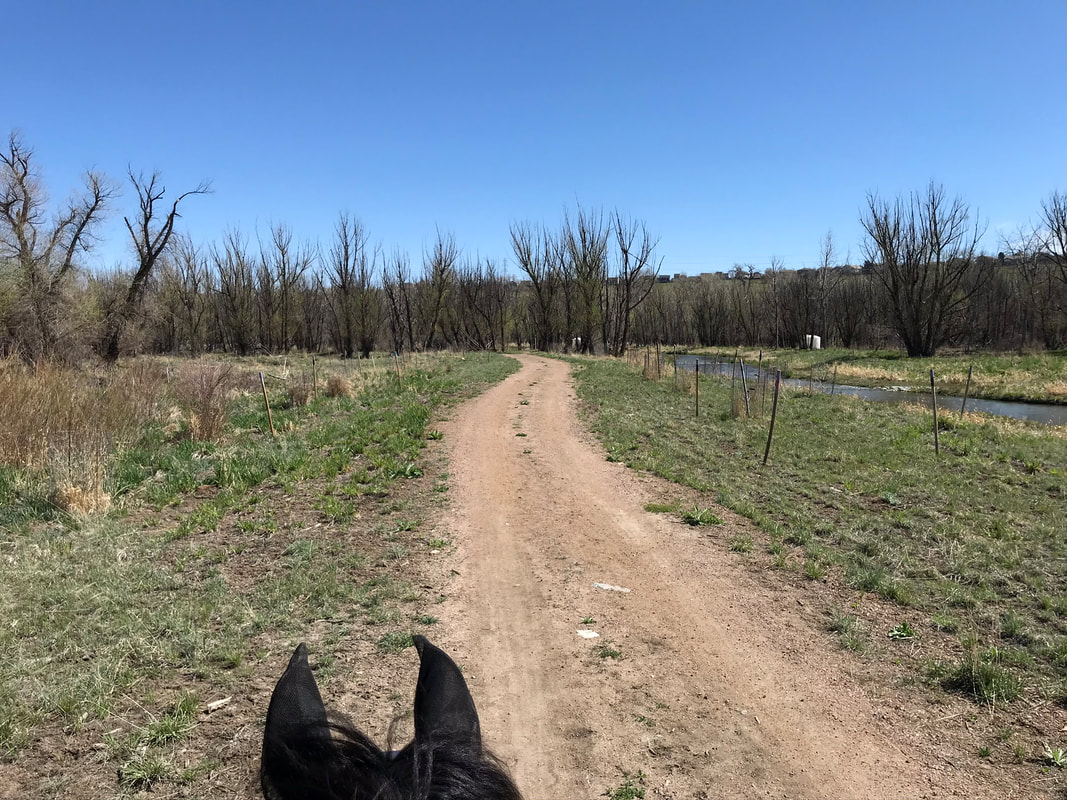
We continued riding north along the creek.
|
|
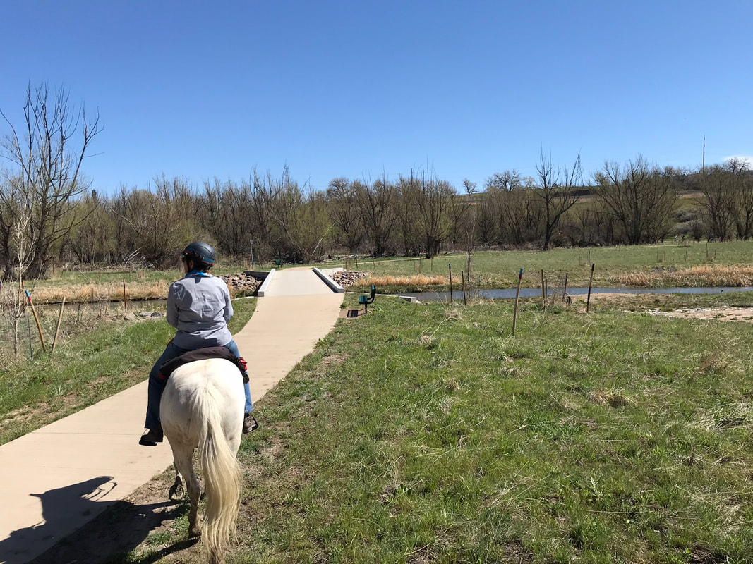
We crossed another dry creek crossing and came up to a cement bridge. I dismounted to help Sam have courage to cross.
|
|
The trail forked. Going right you could continue to the Chatfield dam, the trail traveled right below a rail-road track. We decided we did not want to ride that way in case a train came by. We headed left instead, back to the parking lot.
|
|
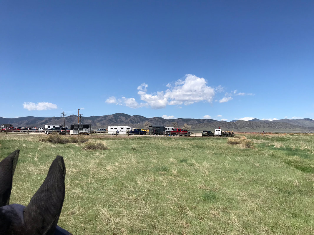
We crossed two bridges. Sam needed me to dismount to be brave and Echo felt ok to follow us. Luckily there were benches on either side of both bridges to use to remount! We passed a parking lot then headed up the hill back to our trailer.
|
|
Instead of walking up the active road we found a single-track to the left of the road that led to the trailer parking.
|
|
Rating
Moderately easy! We saw very few bikers and hikers and the trail was nice and wide and soft on the Highline Canal Trail. When we looped back on the Plumb Creek Chatfield trails it was an easy single-track through the woods. We did chose to go through a water crossing and over 2 bridges but you could take alternative trails that would by-pass these more advanced obstacles.
