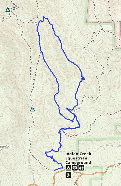
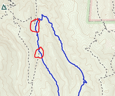
Stevens Gulch Total Loop

Chosen Trail
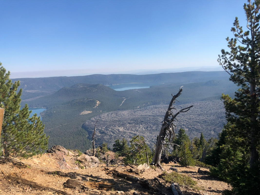
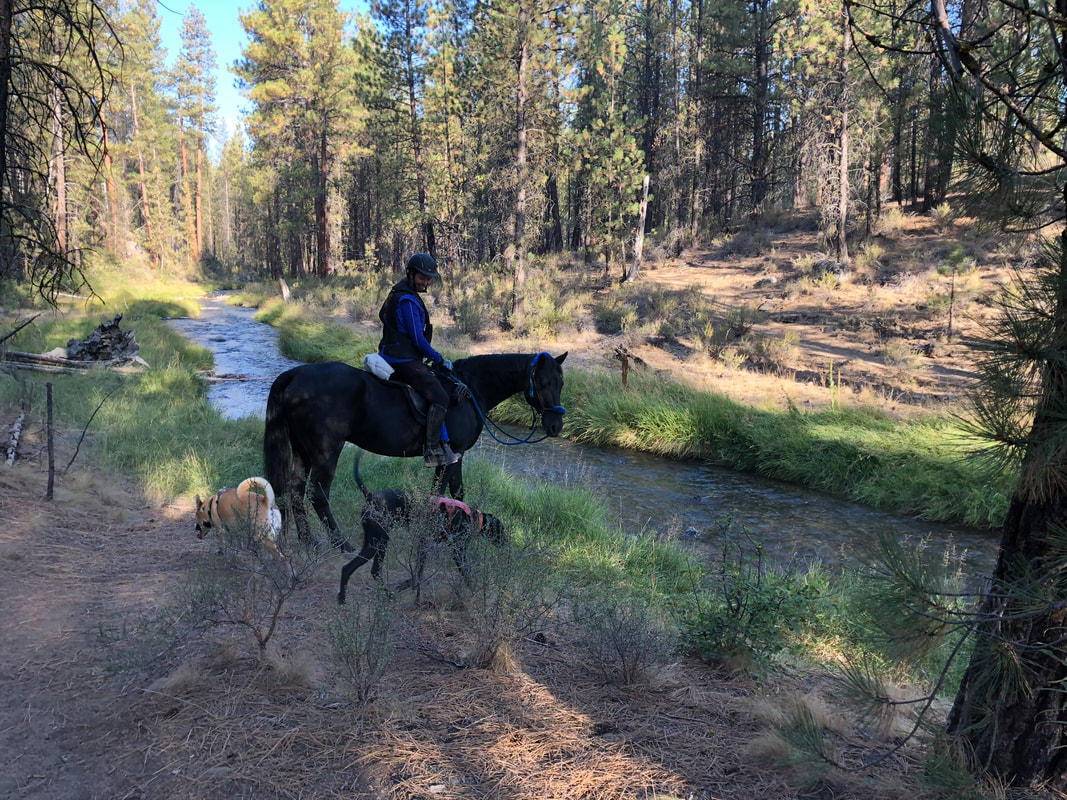
We rode up the trail by the main gate and then took Stevens Gulch trail loop starting with the middle fork and riding the loop counter-clockwise. The fork on the north traveled mostly downhill and then we traveled uphill on the southern fork. We ascended 1371 feet and our horses got a really good workout on this ride going both up and downhill. The trail was about 8.6 miles and we rode it in 3.5 hours with a break for lunch and multiple rest stops on the uphill leg. I would call the north leg of this loop pretty advanced due to a pretty sharp drop in the trail. Our horses did some skiing with their back legs and we all managed the trail well. If you wanted to take just the South leg of the Stevens Gulch loop you could take a left at the fork and ride back to camp going past Bear Creek for an easier ride. The vegetation was pretty thick around the trail in August. I would not ride this trail in the early spring as the thick vegetation would make the trail hard to follow.
Trail Experience
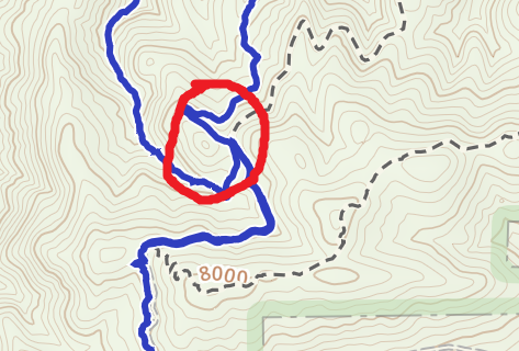
The narrative starts after following the #800 trail to the 3 way fork.
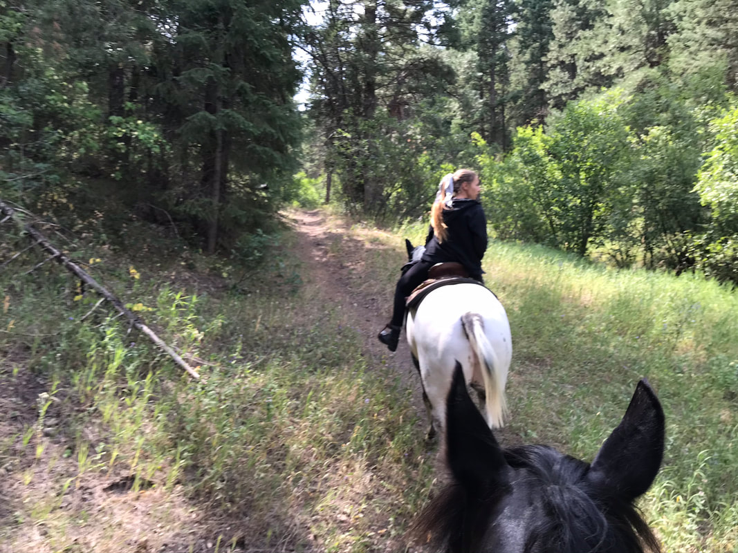
The left fork is labeled as Stevens Gulch Trail. The most right hand fork is the continuation of the #800 trail. We took the middle fork to start on the North leg of the Stevens Gulch Trail which was not labeled.
|
Below: The left fork which is labeled as the Stevens Gulch Trail and is the southern leg of our loop.
|
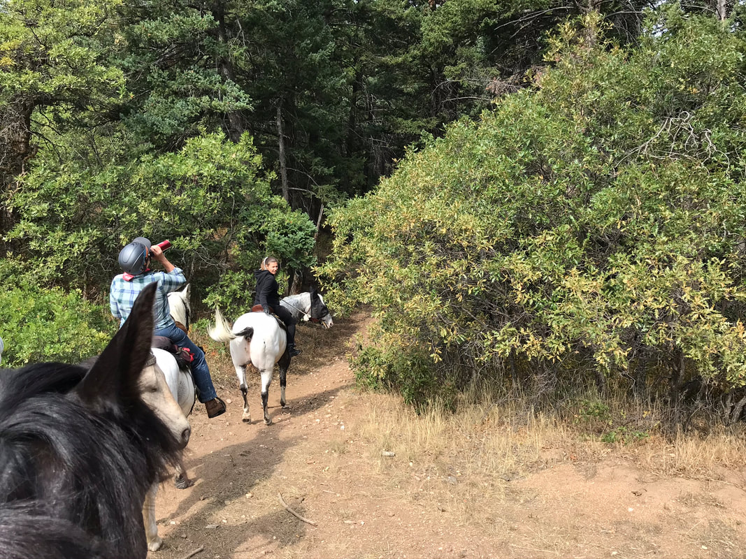
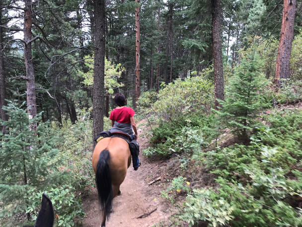
Below: The middle trail fork which is not labeled and is the northern leg of the Stevens Gulch Trail.
|
|
|
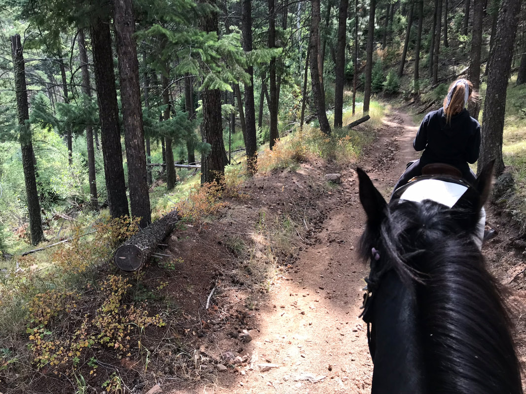
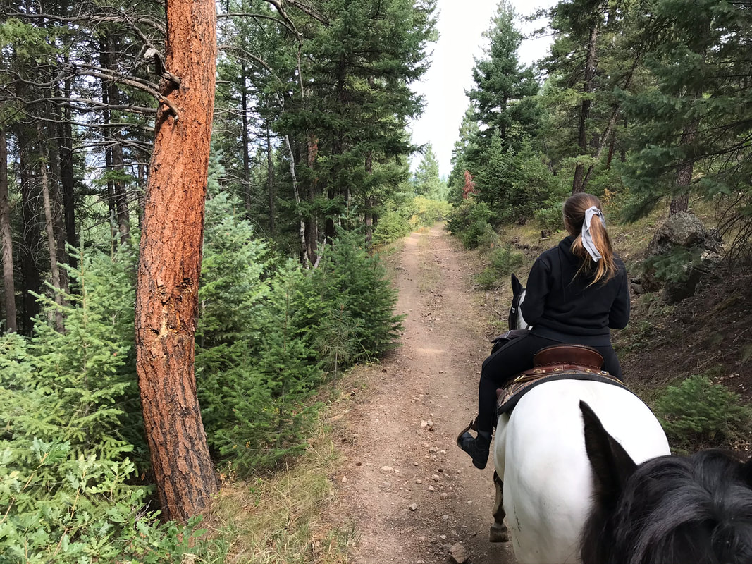
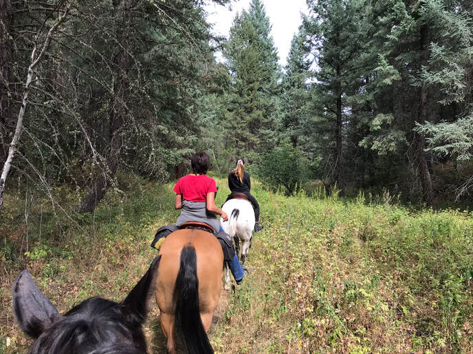
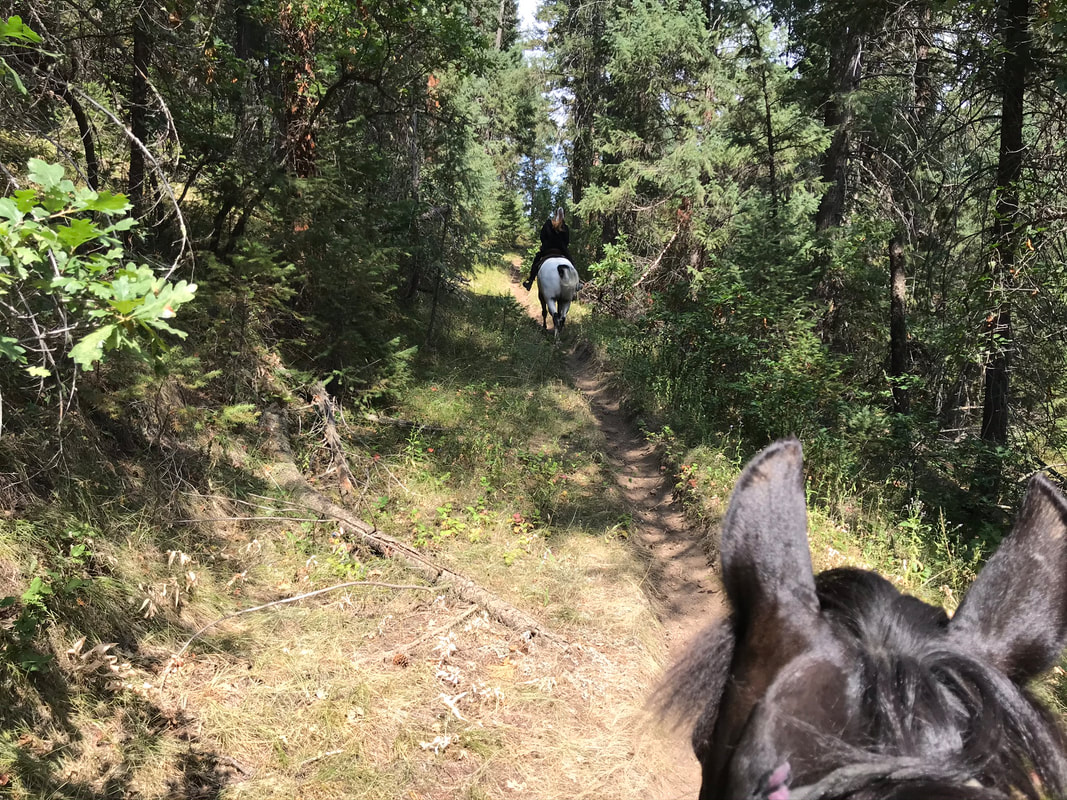
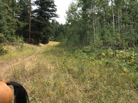
The trail started out really nice and easy along the ridge going downhill in gentle switchbacks.
|
|
|
|
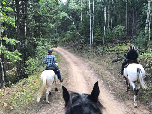
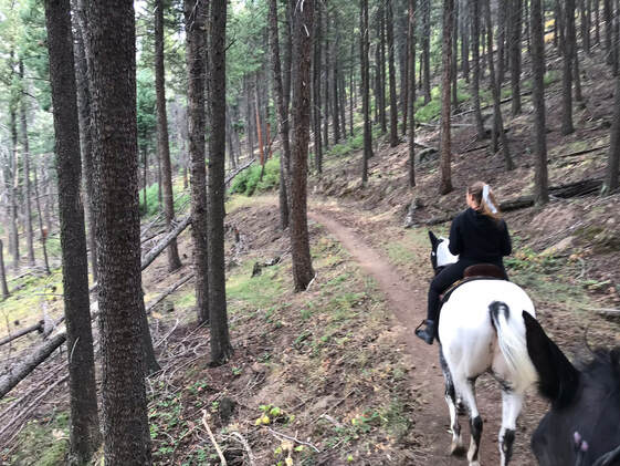
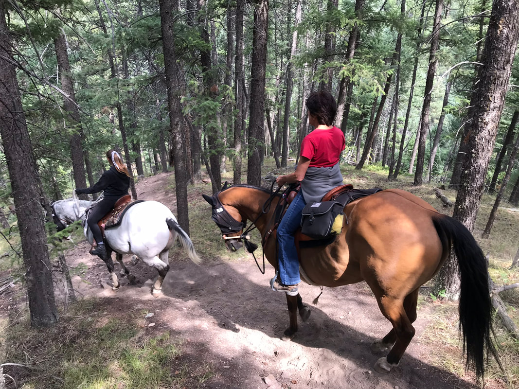
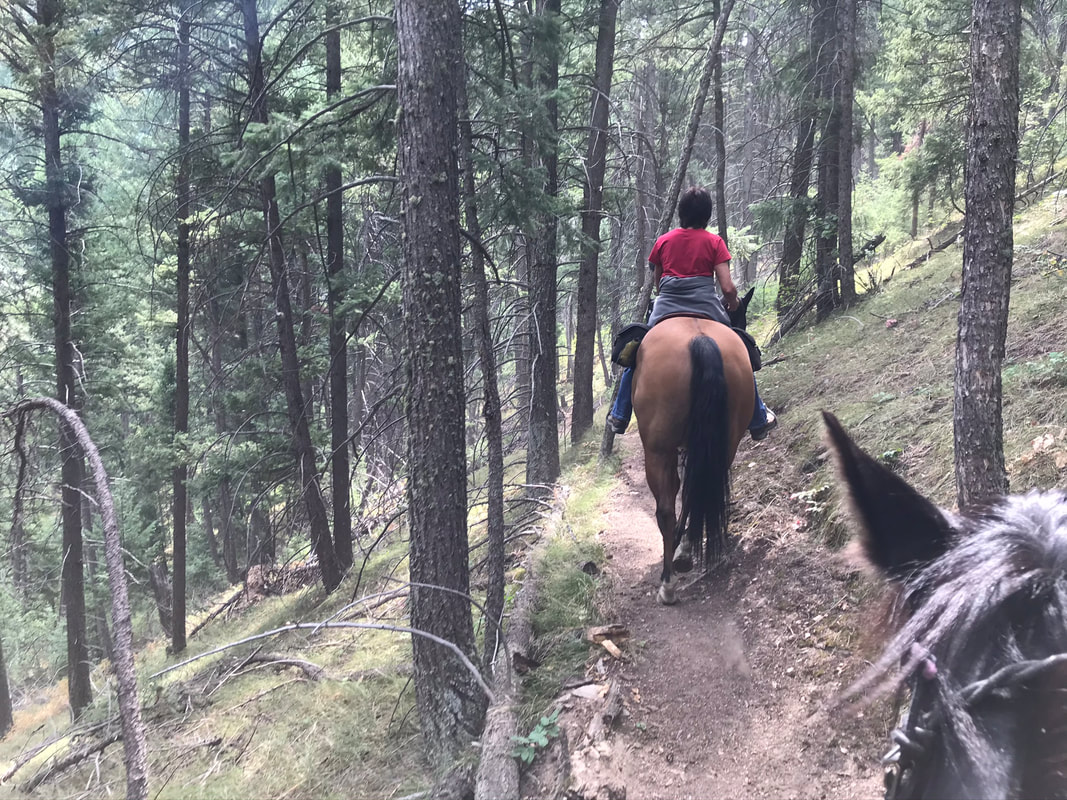
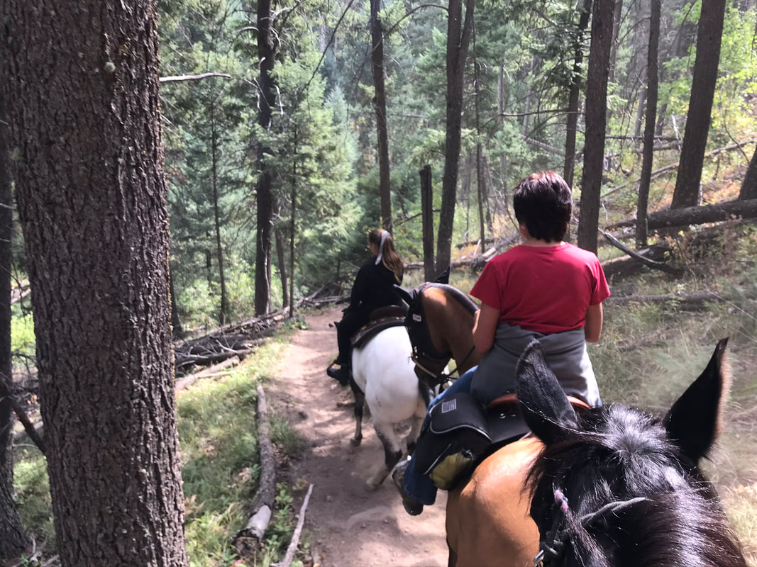
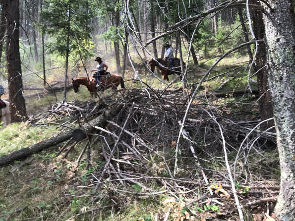
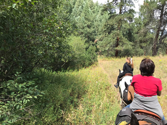
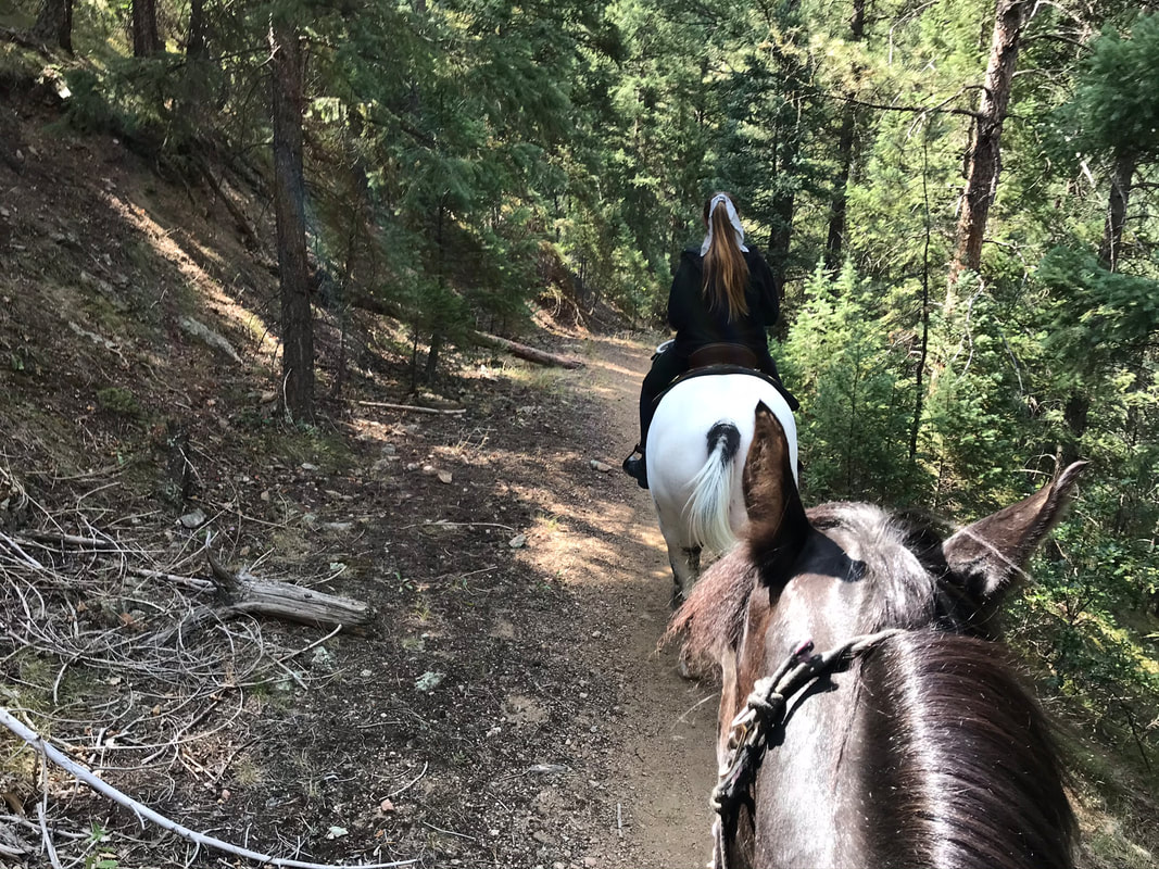
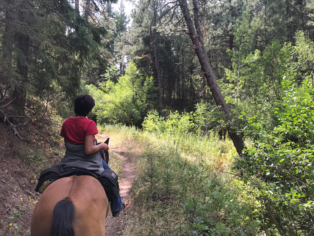
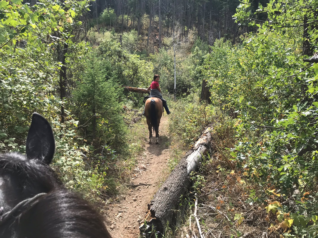
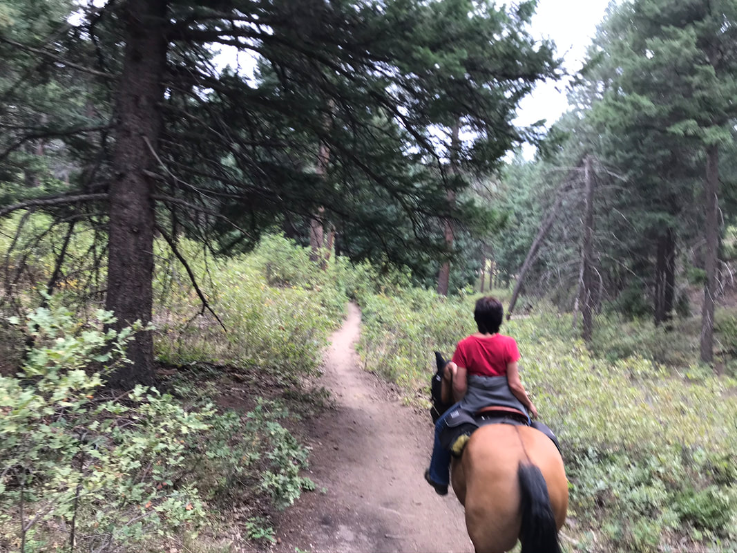
We rode through some meadows but mostly rode through the forest.
We descended down a pretty steep switchback. It was steep and we had to lean back and give the horses their head. Sam did some sliding down the hill with his back feet.
|
|
|
|
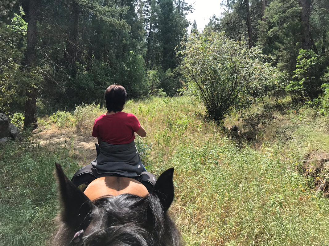
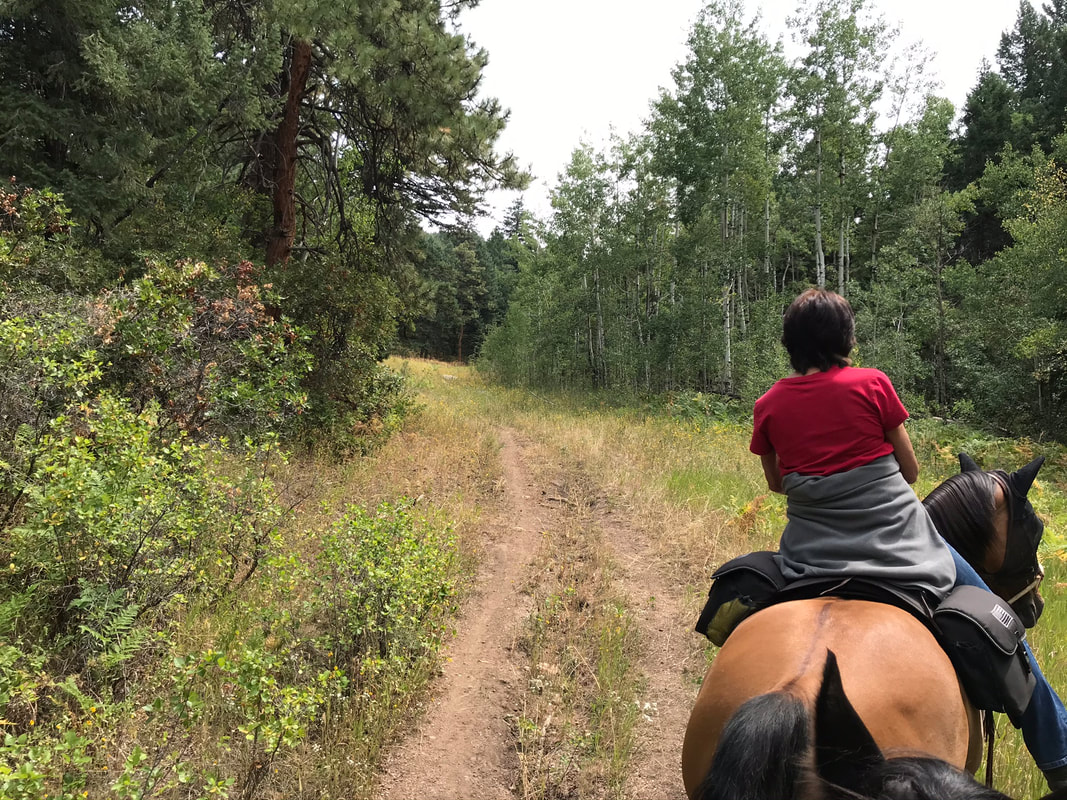
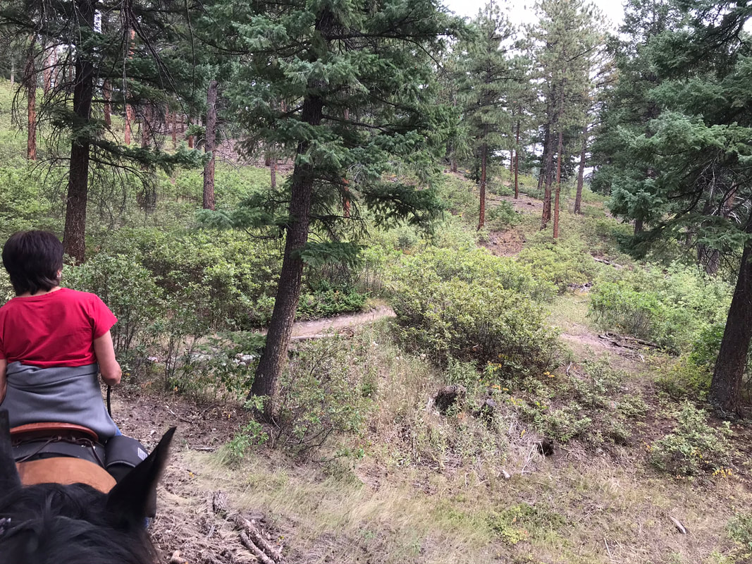
The steep section was probably less than 200 yards and the trail opened up, leveled out and got a lot easier.
|
|
|
|
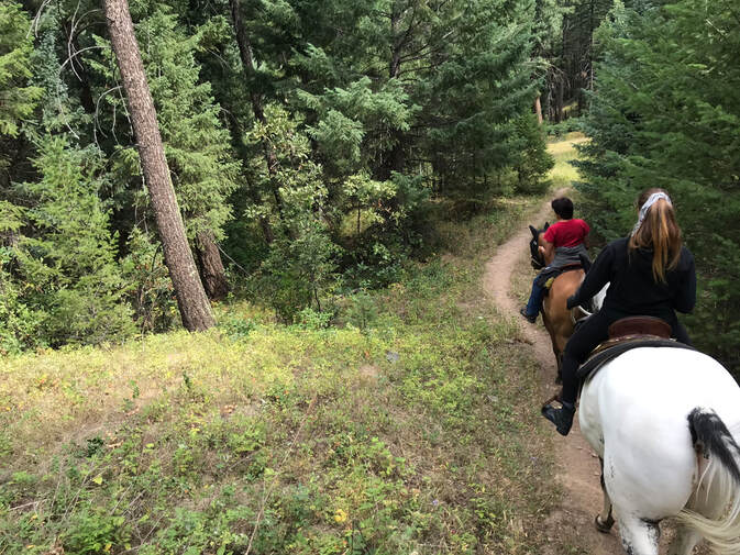
We took two lefts when the trail forked. These trail forks were not marked but I could see them on my Gaia map.
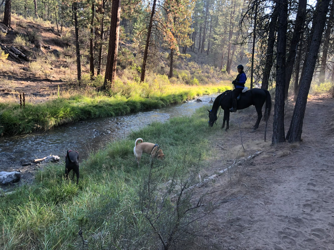
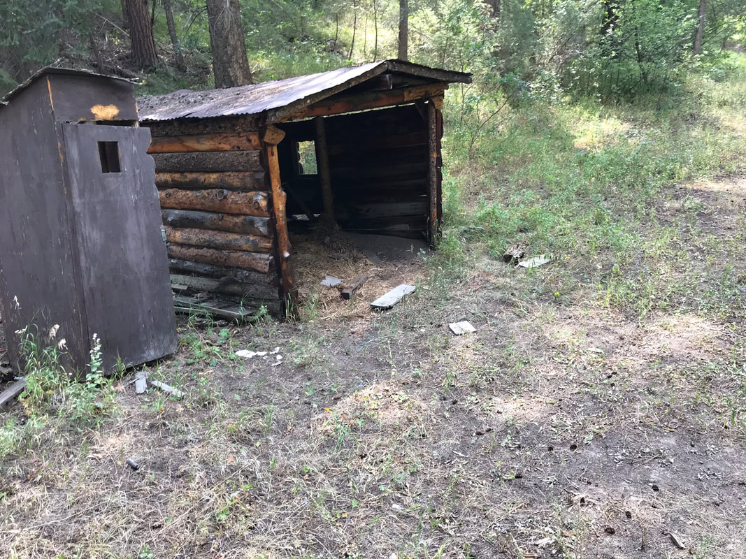
We rested at this old house then prepared for the uphill leg.
|
|
|
|
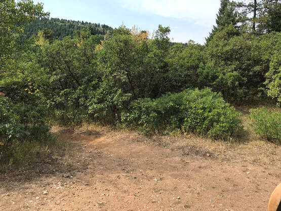
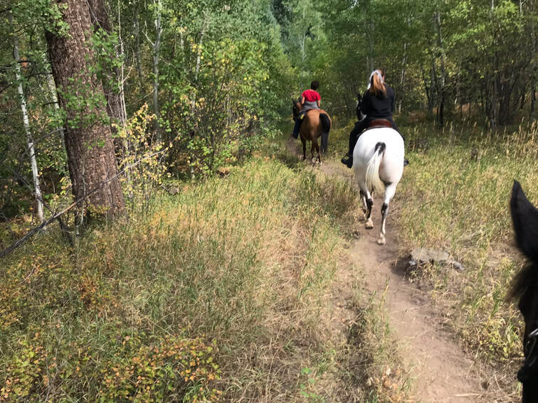
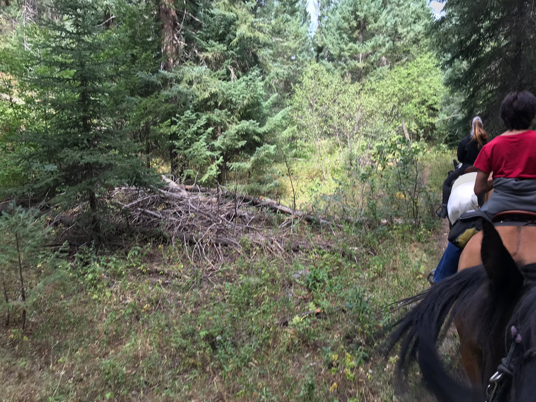
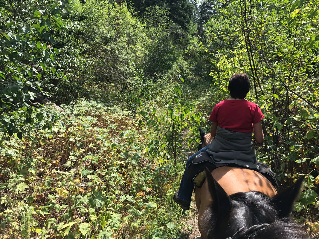
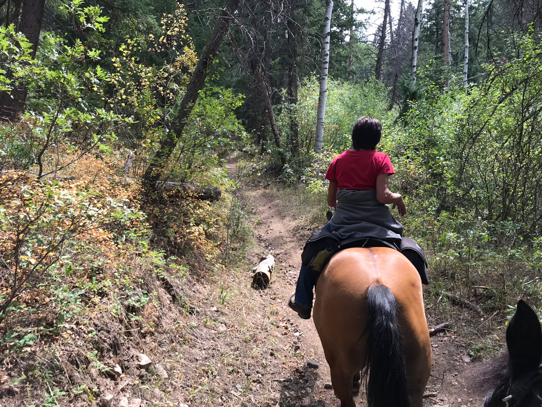
The brush was thick around the trail and we rode in late August. Do not ride this trail in the spring as it can be extremely overgrown and easy to lose the trail.
|
|
|
|
All of our horses were breathing hard by the time we reached the meadow and the top of the trail, back to our starting point.
We retraced our steps and rode down the main trail back to the campsite.
|
|
