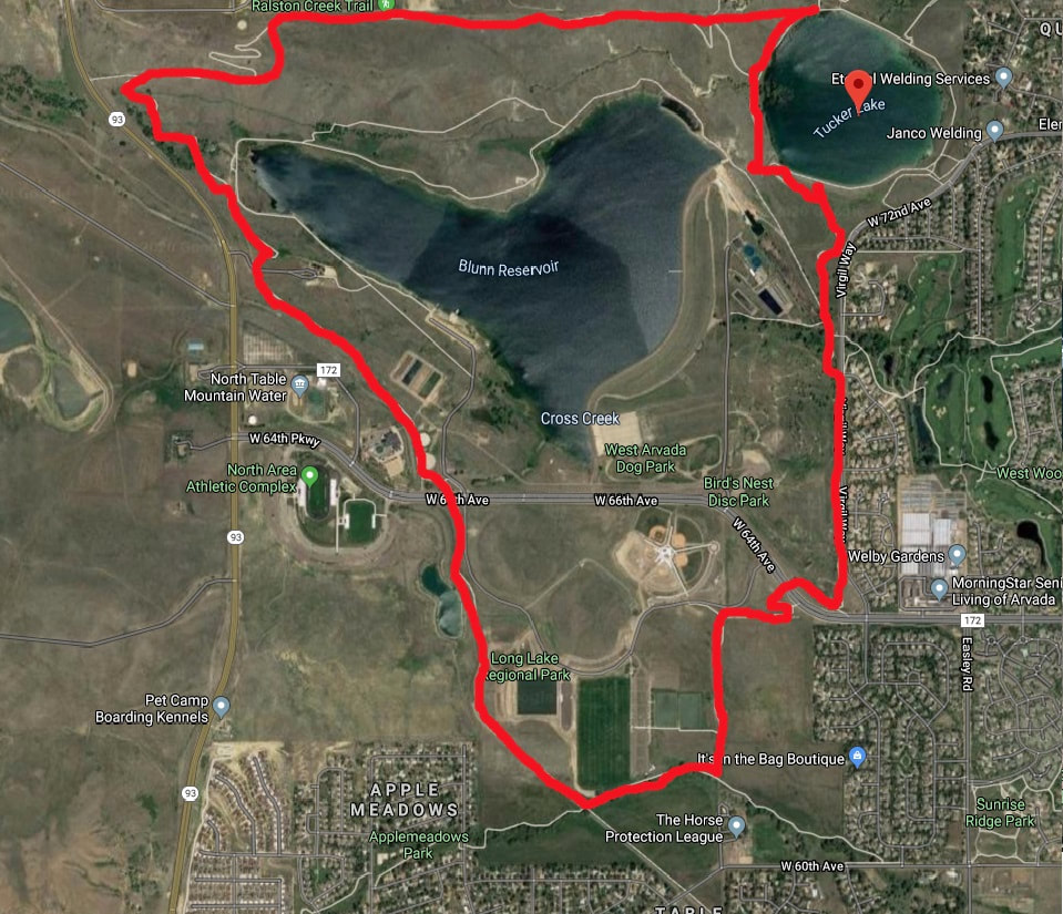
Tucker Lake Long Loop- Ralston Creek Trail to Bibber Creek Trail to Blunn Trail
Location
For directions and parking please see Tucker Lake. If you want a longer ride than just riding around Tucker Lake you can take a longer loop around Tucker Lake that uses the Ralston Creek Trail, Biber Creek Trail and Blunn Trail. There is also a connection that will take you all the way to North Table Mountain. Once you are on this trail it really feels like you can ride all day.
Chosen Trail
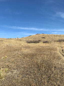
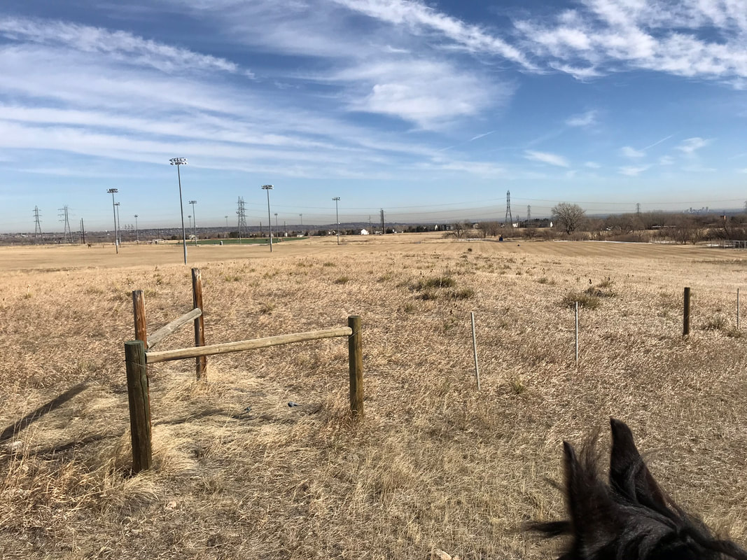
We started off going west in a counter-clockwise direction on the Ralston Creek Trail. This did mean we went downhill on the first steep switch-back. We also faced a lot of road noise and construction in the first part of the trail before Sam was tired. If I rode this trail again and was not afraid of getting lost I would choose to ride it in a clockwise direction going south first. We rode appoximately 5.7 miles in about 1 hr and 40 minutes. Sam usually covers 3.5 miles/hr. Today he walked pretty slow and did a lot of looking. We trotted more on the trail parallel to Virgil Way on the way home.
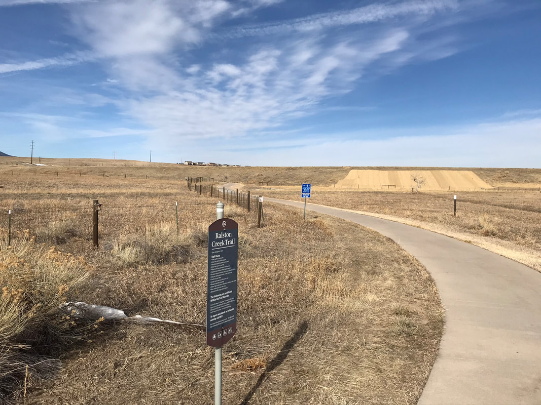
I will start my trail description at the water tower on Ralston Creek Trail. For a description of the trail up until this point please see Tucker Lake.
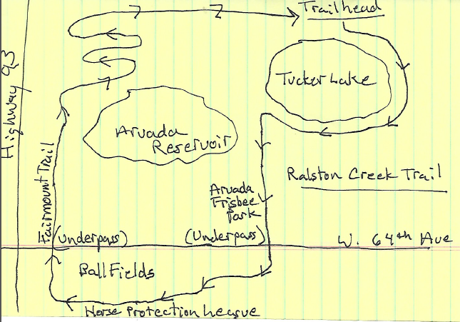
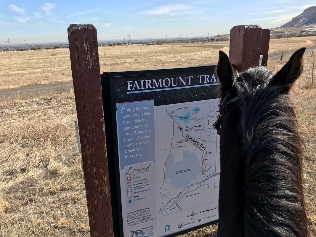
Kristi drew this map for me to help me from getting lost.
Kristi drew this map for me to help me from getting lost.
|
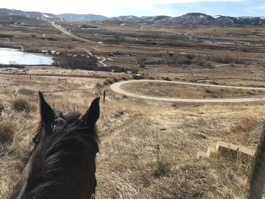
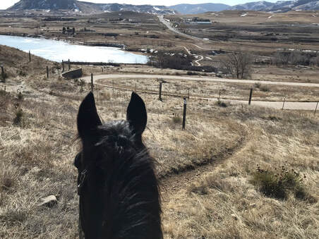
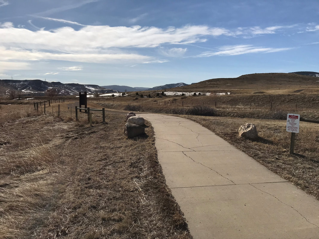
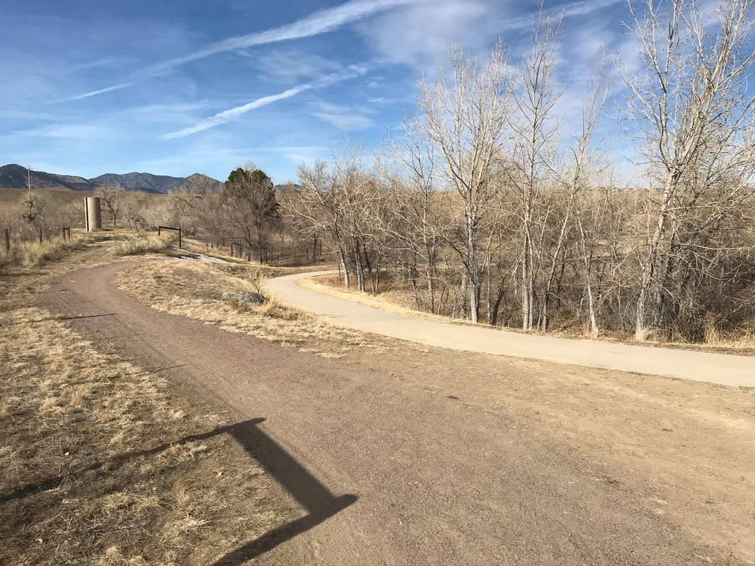
The water tower is to our right and we are going down the fairly steep equestrian trail. You can also choose to walk along the concrete path which is much less steep. Bikers tend to go really fast down this hill so we opted to stay on the equestrian trail as marked by the poles with the white caps.
Below: The steep hill we walked down marked by the posts with white caps.
|
Sam and I are starting down the steep part of the trail with really pretty views.

|
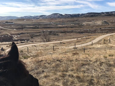
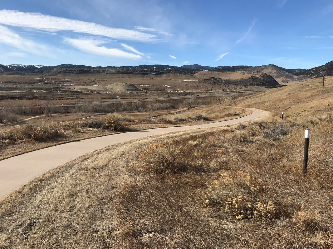
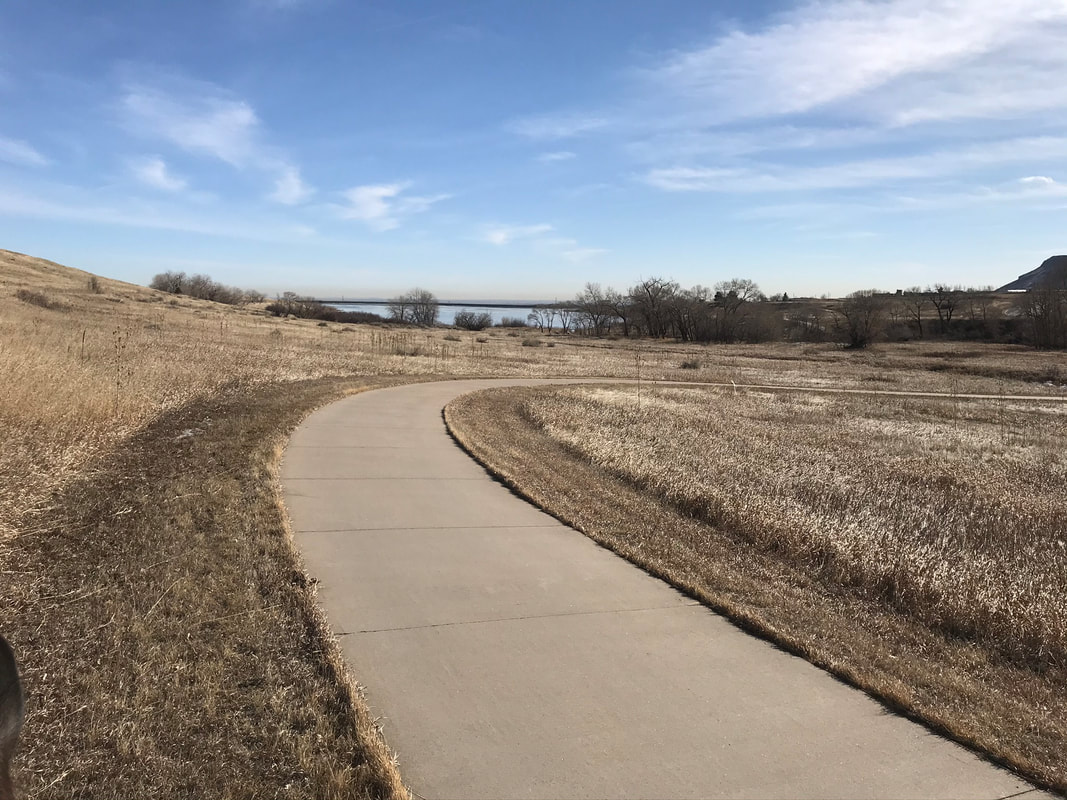
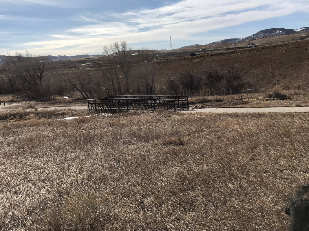
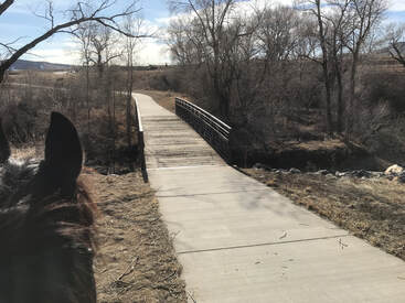
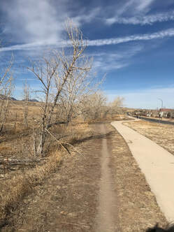
The Ralston Creek Trail is nice because they keep the grass mowed next to the cement trail. This is good footing and well marked. Watch for bikers as you near the bridge. Bikes going over the bridge make a very scary sound. You also have the road above and to the right of the bridge. This may be a pretty scary part of the trail for your horse with traffic above their head level that they cannot see. Sam did ok but was very looky and he is usually unflappable.
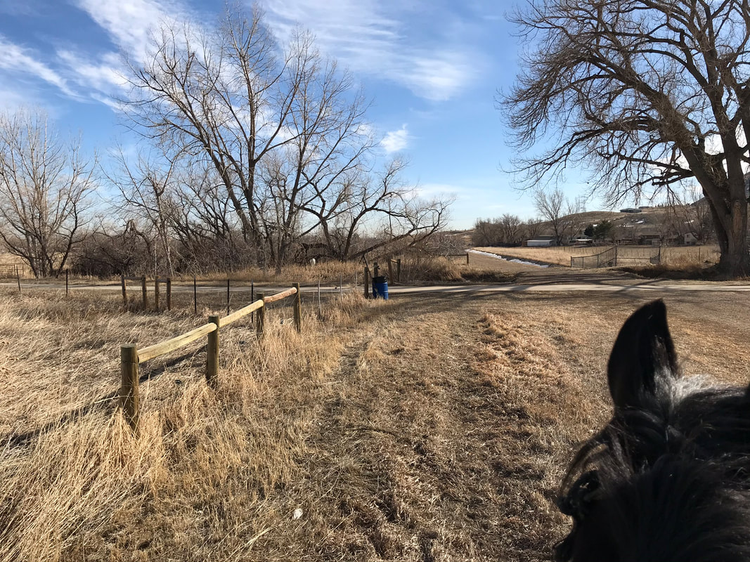
We went around a turn and then crossed another bridge. There was a picnic table to the left of the bridge and even a hitching post to the right of the bridge.
|
|
|
|
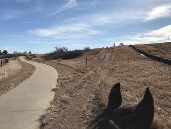
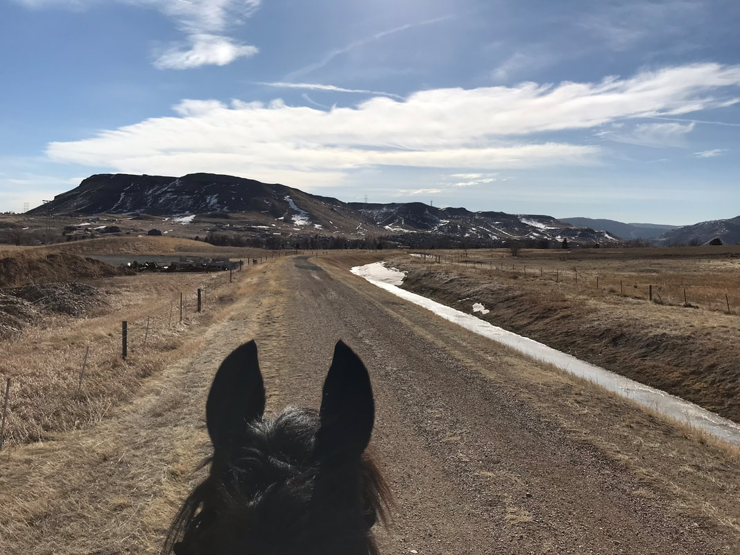
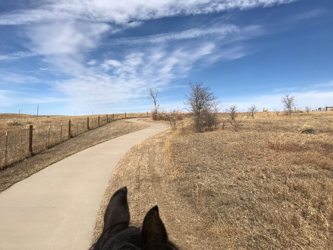
We followed the white post caps up the hill. There was some construction fencing to the right that may have been scary if it was windy. This whole part of the trail looked like it was under construction. It will be pretty nice when the landscaping is finished.
|
Some more scary fencing on the right.
|
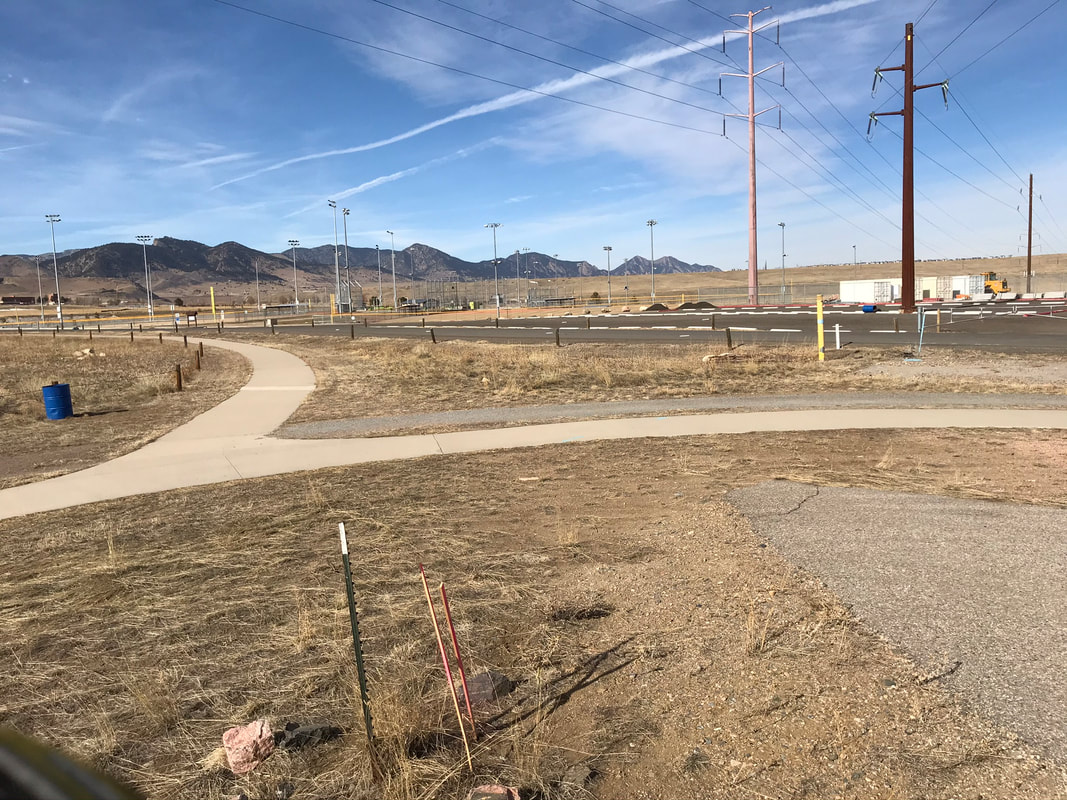
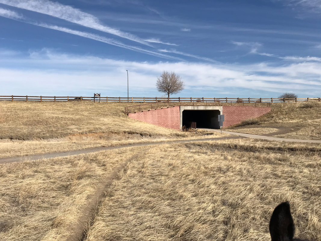
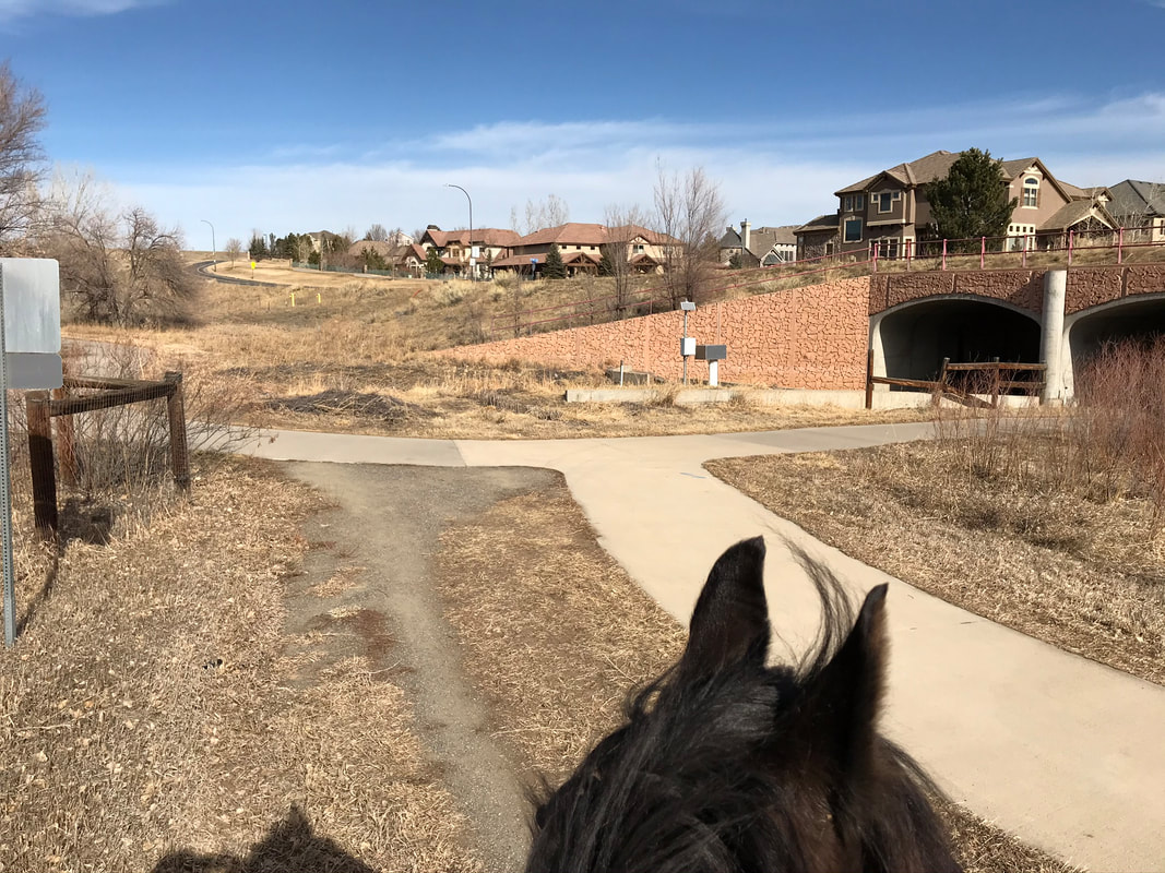
We passed two water tanks and an industrial looking building on the right. Sam looked at the tanks but kept walking. We came to a fork and went left to either go under the underpass or over the top to cross the road.
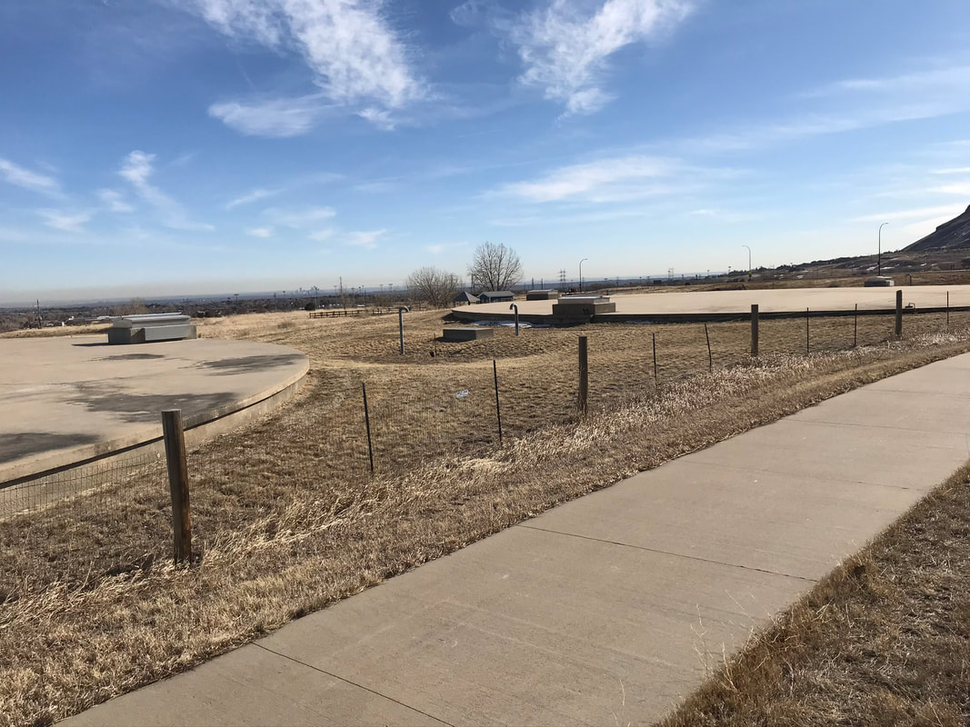
|
|
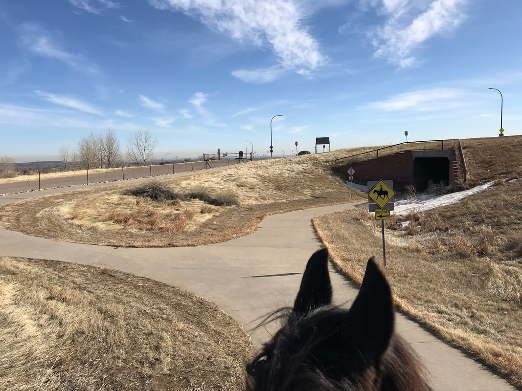
There was a sign that suggested that horses ride over the road instead of going through the underpass. We went over the road. If your horse does not like the red tiles you would be in trouble. We crossed the road and continued.
|
|
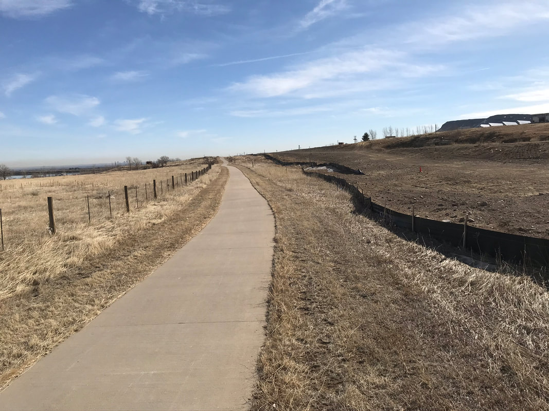
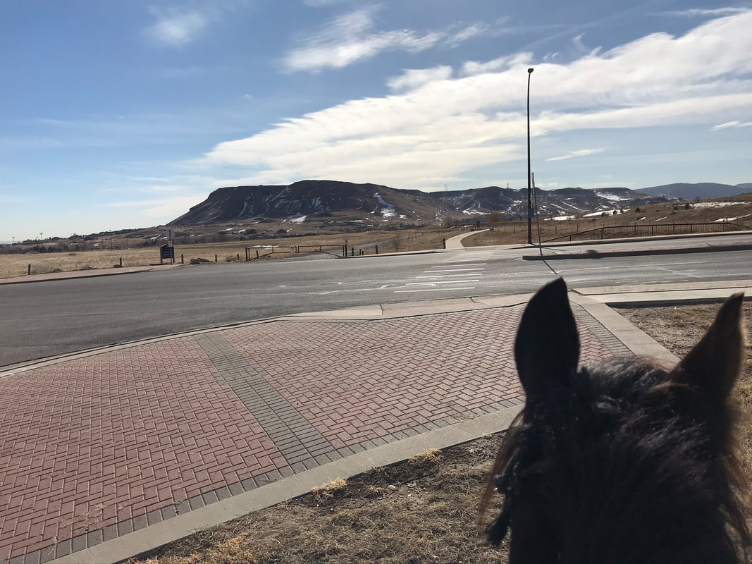
Crossing the road you continue to the side of the cement path. After the crossing you come upon a sign for the Fairmount Trail. I got a little nervous at this point. The Fairmount trail goes all the way to Table Mountain. You really could ride all day. At this point watch carefully for the next left to loop back to Tucker Lake.
|
|
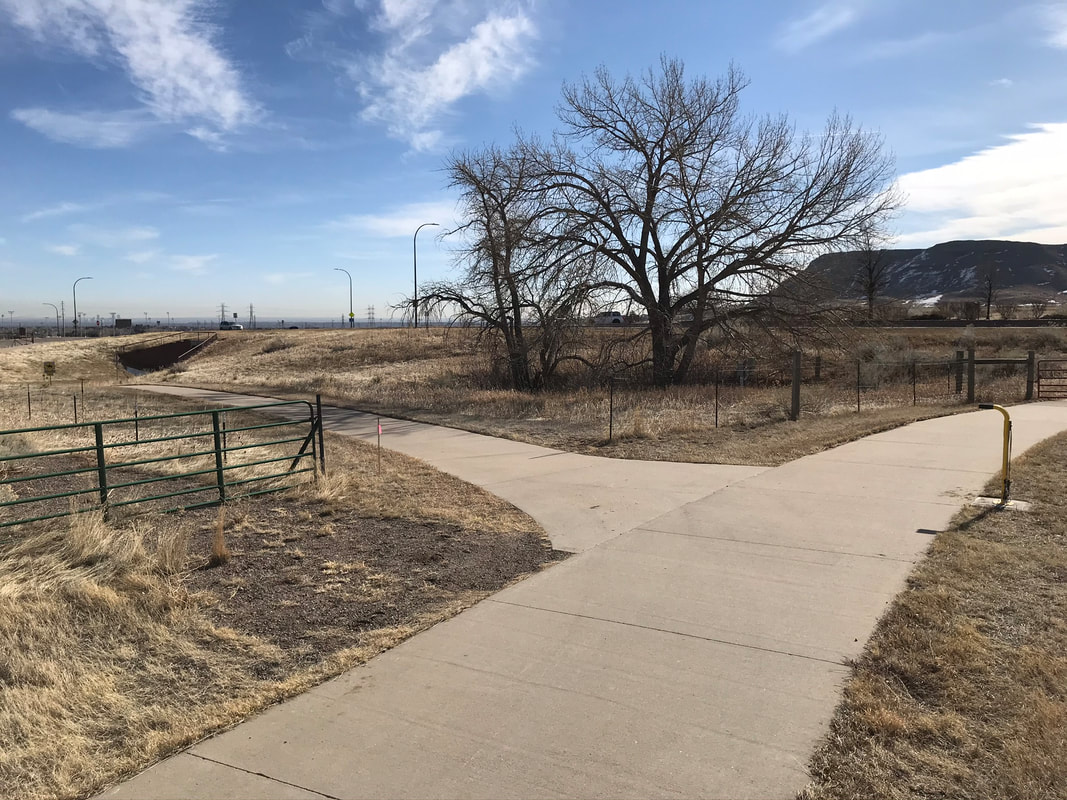
During this stretch we saw a few scary objects I could not photograph because I needed to say focused on Sam. There was a large pipe that crossed the ditch to our right and a large mass of concrete blocks on the left side of the trail. After passing the scary objects we did have a good trot.
|
|
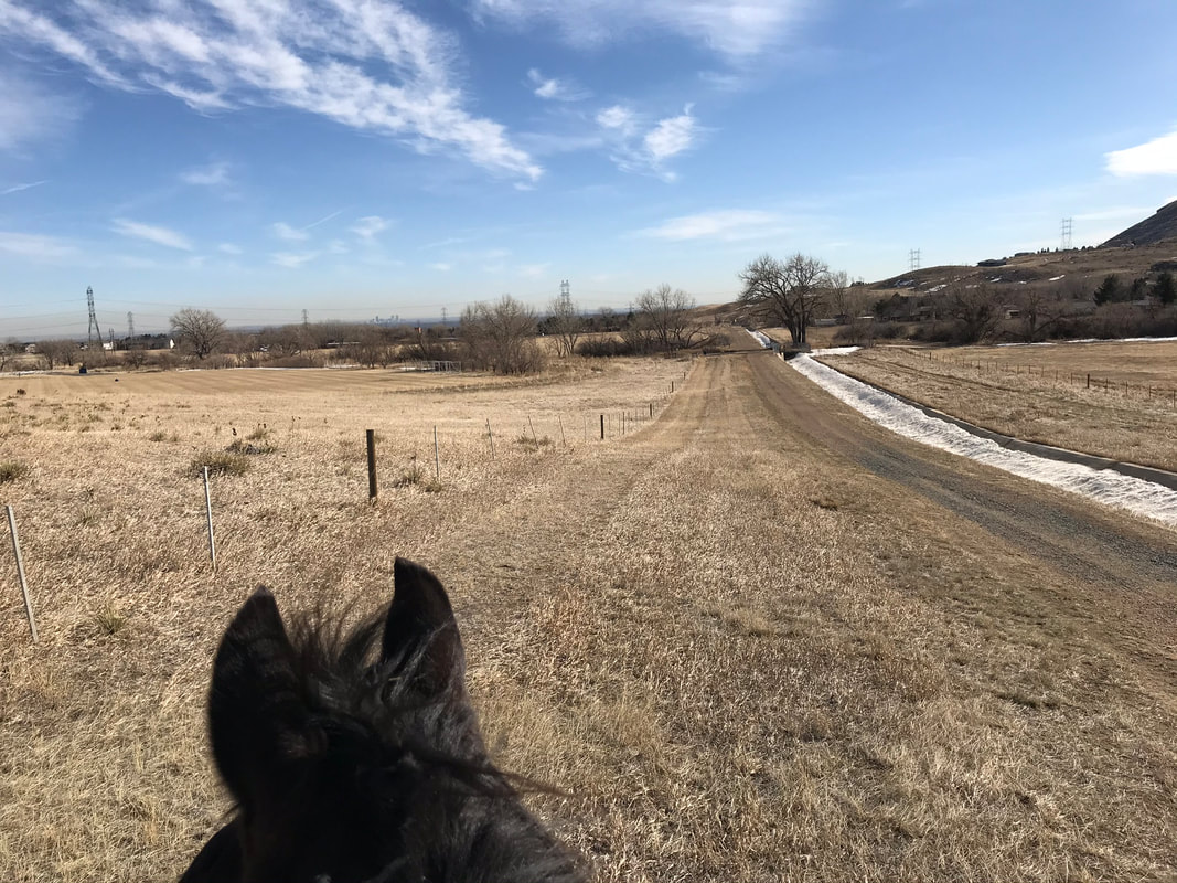
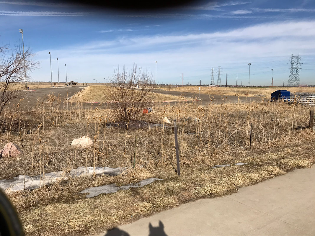
There are soccer fields to the left. We came upon a fork and headed left. The Fairmont Trail continues south toward North Table Mountain.
|
|
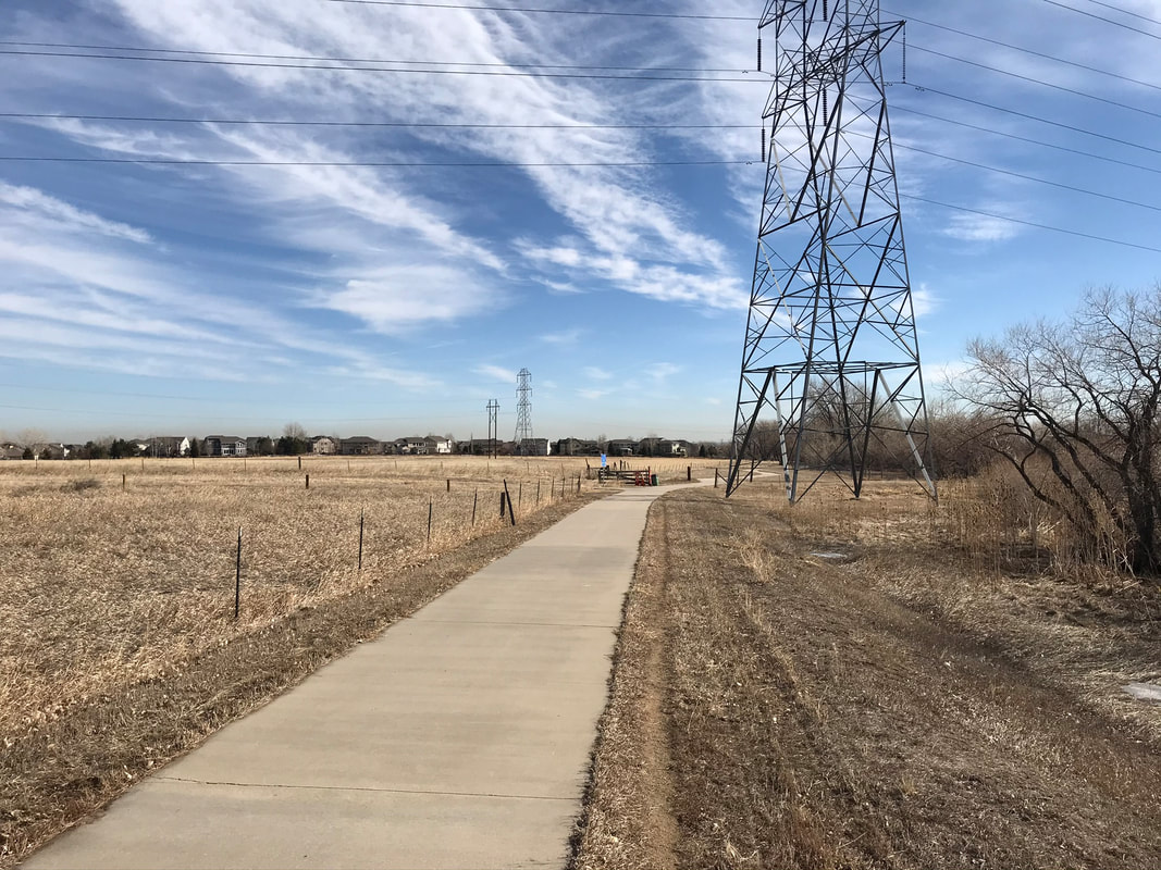
We went past the parking lot for the soccer fields and a lot of electric wire towers.
|
|
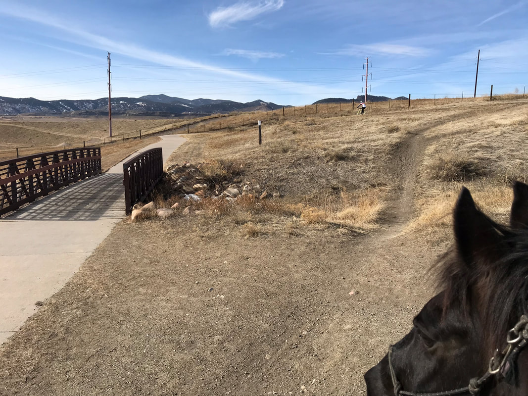
Up by the next tower there is a fork to the left. The trail to the right continues somewhere, so turn left to get back to Tucker Lake. You go past a lot of more electric towers and I could feel the electricity in the air. It made a buzzing sound that startled Sam. We took the next right to go through the underpass and get back to Virgil Way.

|
|
I dismounted to go through this underpass. Sam was tense but did well. There was an opening in the fence so you could also go above and cross the road. The trail paralleled Virgil Way and we were almost back.
|
|
But not without more obstacles....The trail goes past a frisbee golf course on your left. The golfers were nice and paused their game when they saw Sam and I. We went left to continue to Tucker Lake at the fork with the underpass.
|
|
We had a nice trot up this hill, back to Ralston Creek Trail and our comfort zone around Tucker Lake. We went left around the lake, bypassing the bridge to get back to our starting place.
|
|
|
Horse Hazards
This is an urban trail loaded with horse hazards. There are water towers, bridges, bikers, frisbees and lots of scary objects. This trail is a good training trail if you go with a bombproof trail buddy.
Trail Experience
I enjoyed this trail but I was pretty game for the steep down-hill, all the bridge challenges and desensitizing Sam to all the scary objects. I would not enjoy this trail on a spooky Thoroughbred or young green horse. I was mostly stressed out about missing the turn for the way home, worrying I would have to call my husband to pick me up at Table Mountain with a very tired Sam.
Rating
Moderately Difficult. If you want an easy trail stay around Tucker Lake or circle it 2-3 times. This trail is an urban trail with lots of horse hazards.
