Not Named Trail
Chosen Trail
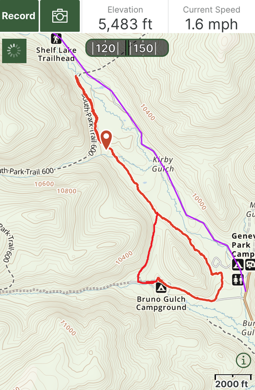
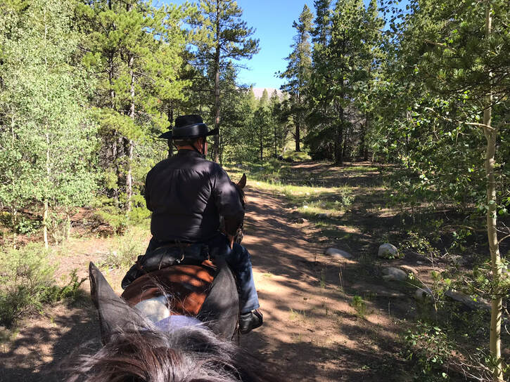
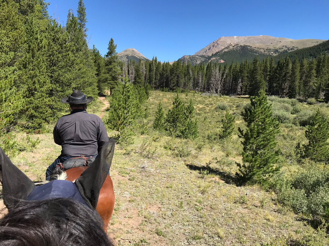
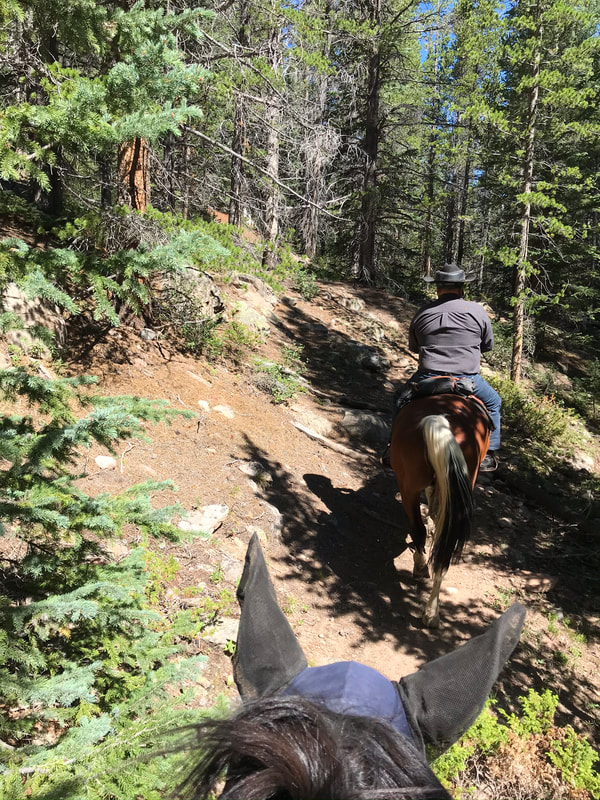
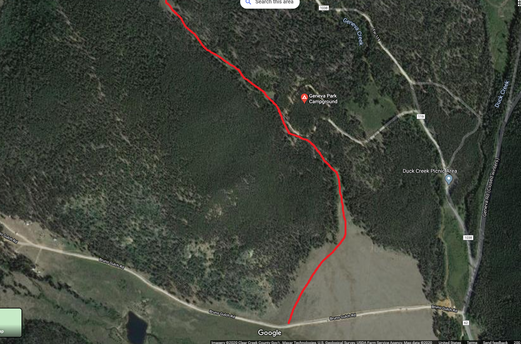
The 2nd day we rode north out from the campsite along an unnamed trail. The trail was marked with blue diamonds but the trail itself was not well traveled and was hard to find. We mostly rode north following Jon Lind who had ridden the trail before. It would have been very easy to get lost. I appreciated using the Gaia app to record our route. For the most part we rode north to bypass the rocky-shale section of the right fork of the South Park Trail. We rode to the river then turned around. You could continue to the trail that parallels the road back to camp but I was told the trail was open, hot, and boring. The route we took was empty of hikers or bikers, if you rode this by yourself it might be hours before you came upon another hiker. We rode for 2-3 hours at a quarter horse speed. If I wasn't afraid of getting lost Sam and I may have rode this route in closer to 1.5-2 hrs.
Trail Experience
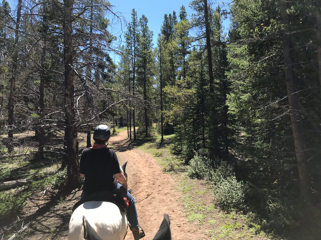
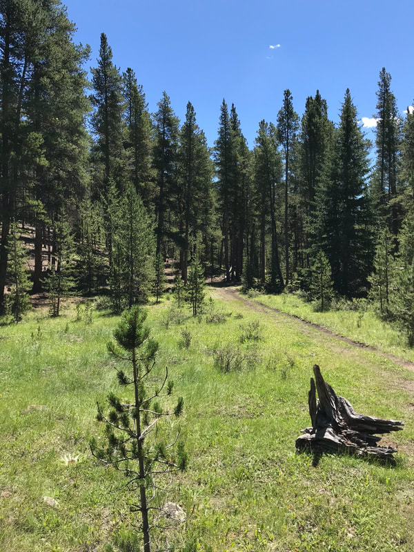
Big rocks marked the entrance to the trail at the north-west loop of campground. The rocks are supposed to keep Atvs off the trails.
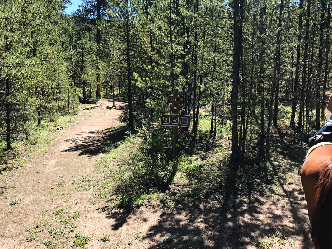
The trail was not well marked and at first I had no idea we were on an official trail.
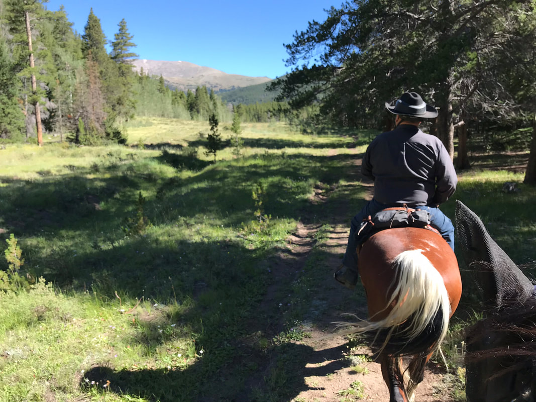
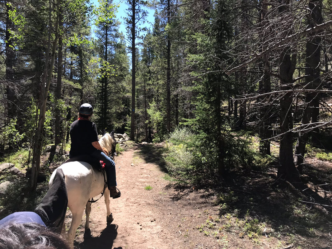
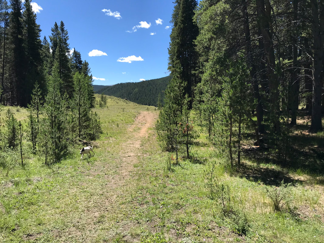
The trail finally widened to an old service road. For our ride Jon cut across the meadow and started following blue diamonds on the opposite hillside through the woods. Overall, you could stay on the service road as it eventually leads to the same trail.
|
|
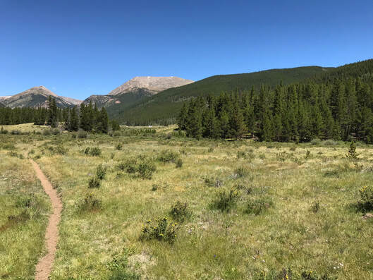
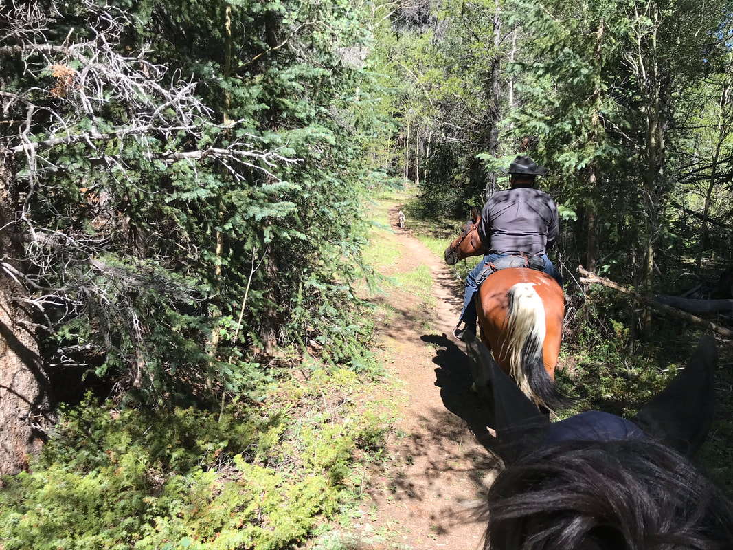
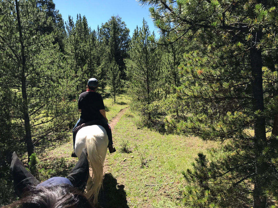
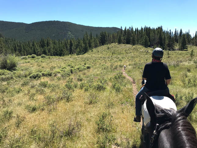
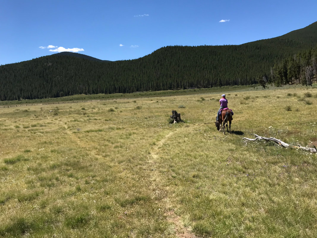
We cut across the meadow and started up a hillside into the woods.
I could not see the trail but followed the steady and brave Memphis.
After multiple wrong turns we followed the blue diamonds down the hill to the edge of the forest and the original meadow we crossed. At this point the trail was more obvious. It would have been easier to follow the service road around the meadow.
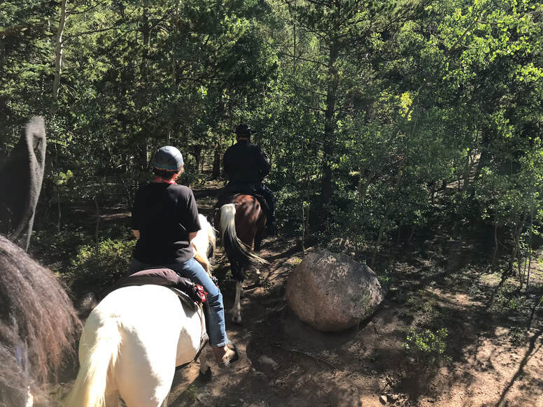
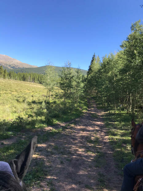
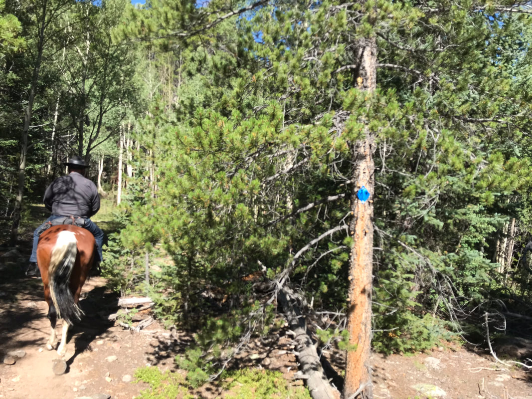
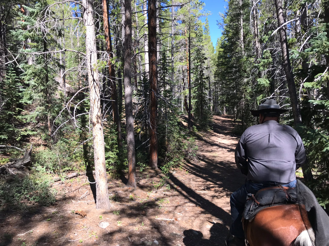
The trail entered the forest again and this time I could clearly see the blue diamonds marking the trail.
|
|
|
|
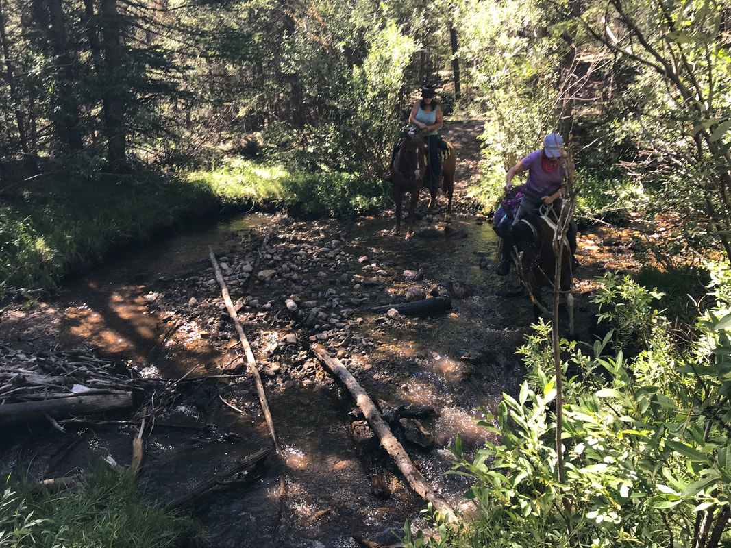
We crossed a creek and watered our horses.
|
|
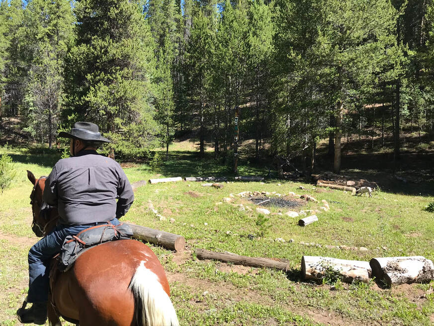
The trail came out to a campfire site.
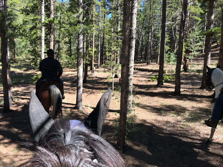
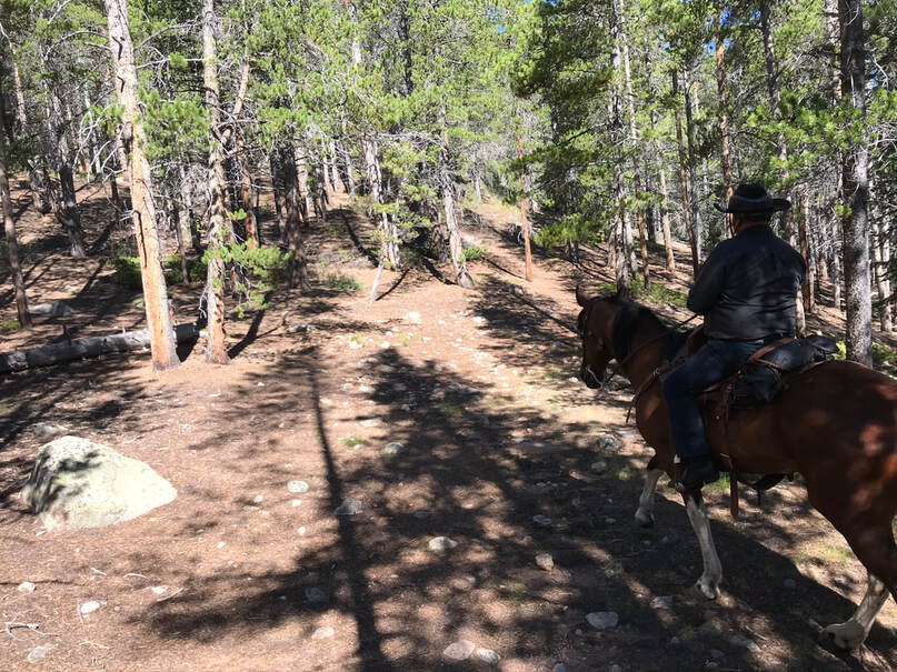
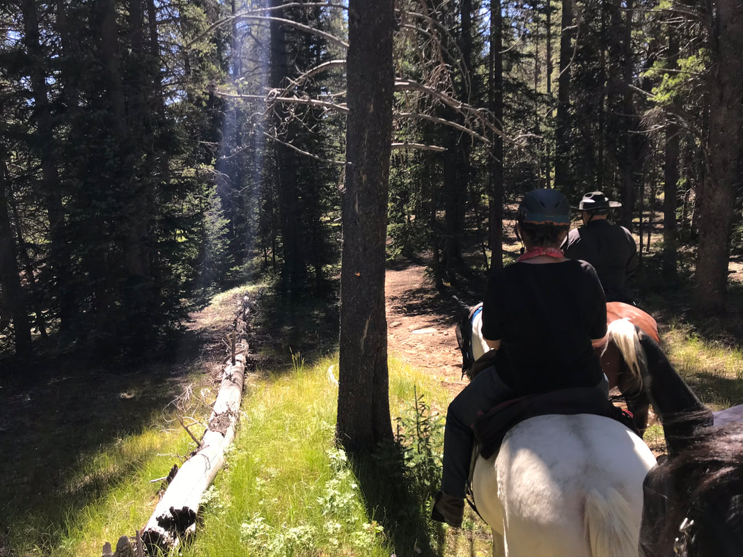
We entered the forest again. This whole section of trail was shady, well-marked and lovely.
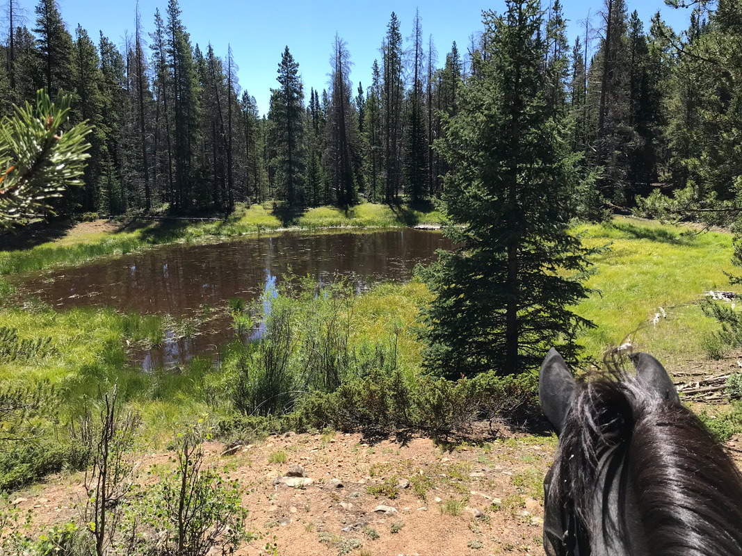
We passed by "moose meadows" a natural watering hole for wildlife.
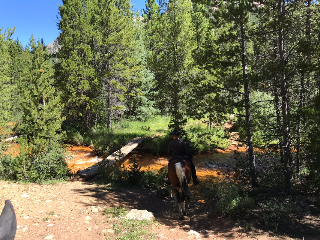
We stopped and turned around at the orange creek. The creek is orange due to an old mineral spill from the old mine upstream. Our horses did drink the water from the creek.
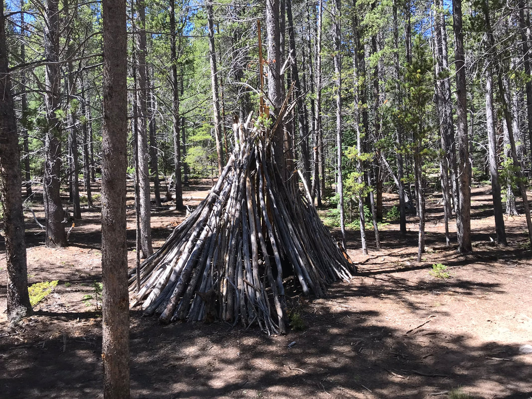
Turning around we took a slightly different route by "missing the fork" to the right after passing the wood teepee structure.
|
|
|
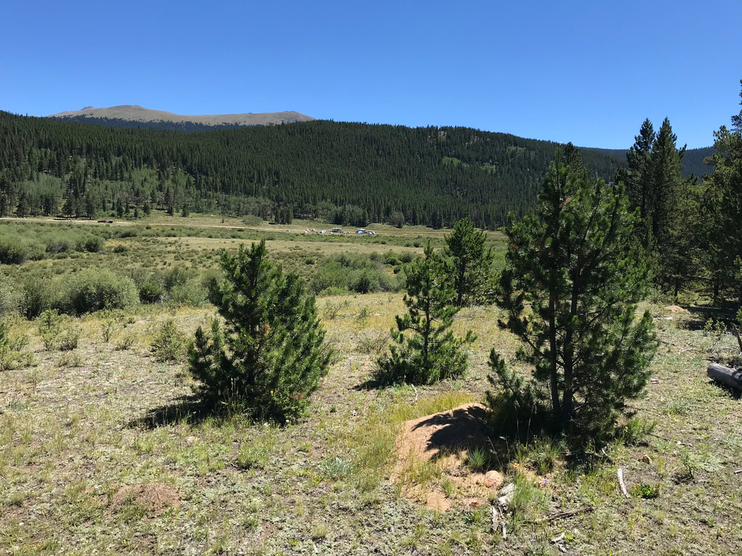
We could see the road and the Geneva Creek Campground.
|
|
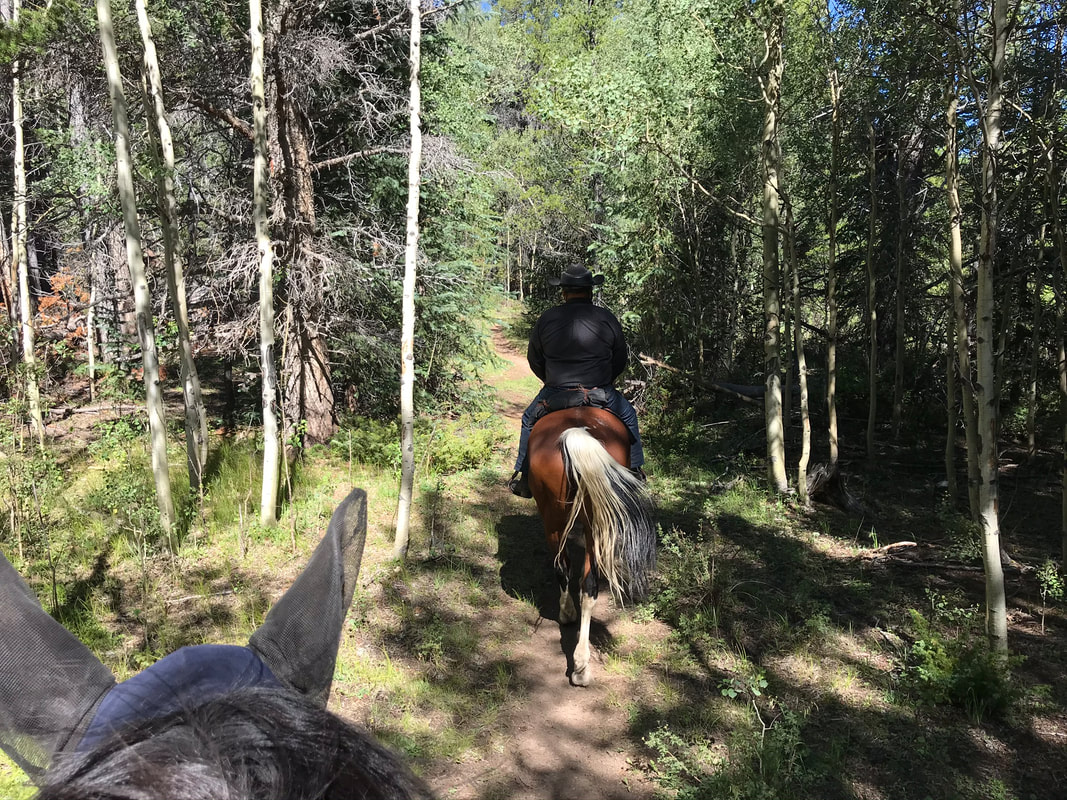
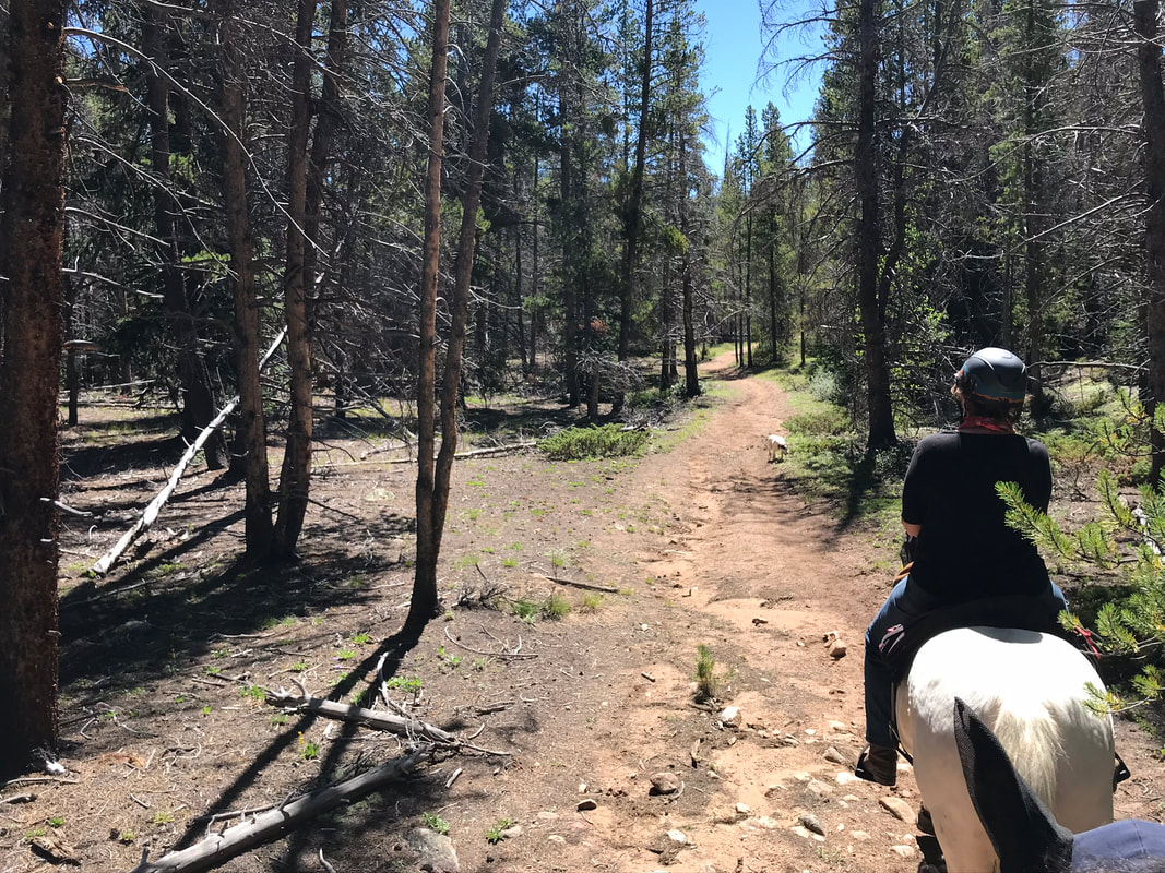
The trail we took back was more obviously a trail and easier to follow.
|
|
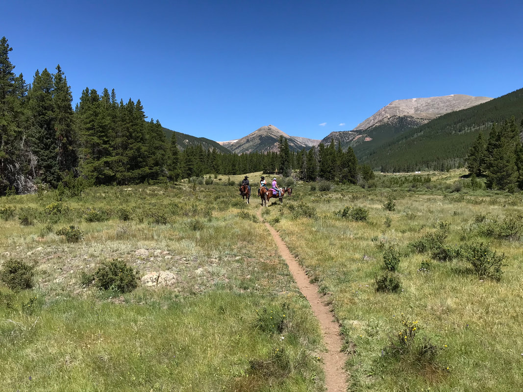
The right fork we were supposed to take was somewhere right before this beautiful meadow.
There was a section of trail after this sign that was very hard to follow. We went down a hill through the Geneva park campground and came out into a meadow by the Bruno Gulch Road.
|
|
We followed the road back to the horse corrals.
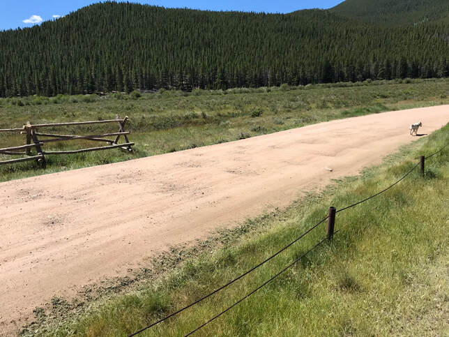
This trail would be easier to find if you started out from the road and rode in the opposite direction.
Rating
Moderate. I loved this trail, and preferred it to the route we took the first day. The footing was better, the water crossings were good places to rest and the meadow and mountain views were stunning. I would never have attempted this trail without a guide. I would ride it again if I recorded my path with Gaia and went with a group of riders. Once you know you ride generally north to the creek then turn around then it would be a nice trail adventure with a real feeling of being in the wilderness.
