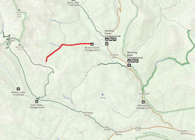
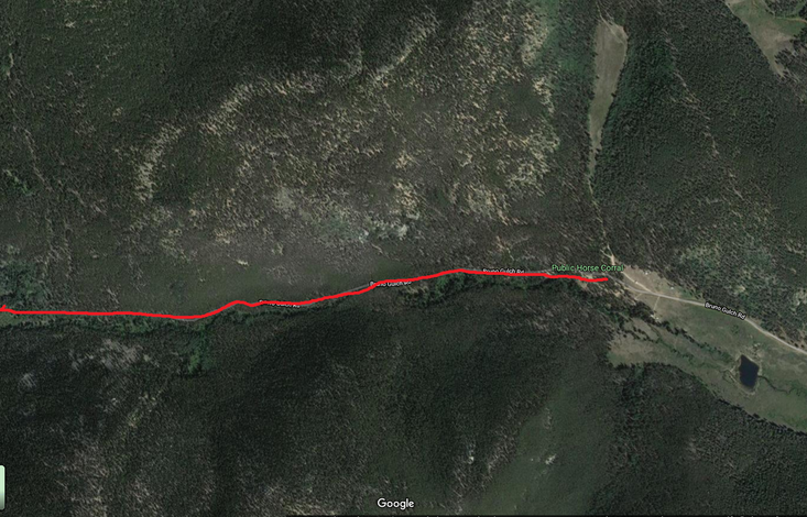
Bruno Gulch Road
Chosen Trail
The first day we rode down Bruno Gulch Road then took a left onto South Park Road #600. It was 1.5 hrs out and back for a total of 3 hours. Jon Lind told us NOT to ride right on South Park Road. Going right you have to navigate a rocky shale trail to summit the mountain on the way to Shelf Lake Trail head. We rode this trail in August. There were two places that could have been really boggy on the southern leg of the South Park Trail. Luckily they were pretty dry in August and did not cause any problems. I do not recommend riding the South Park Trail in the spring.
Trail Experience
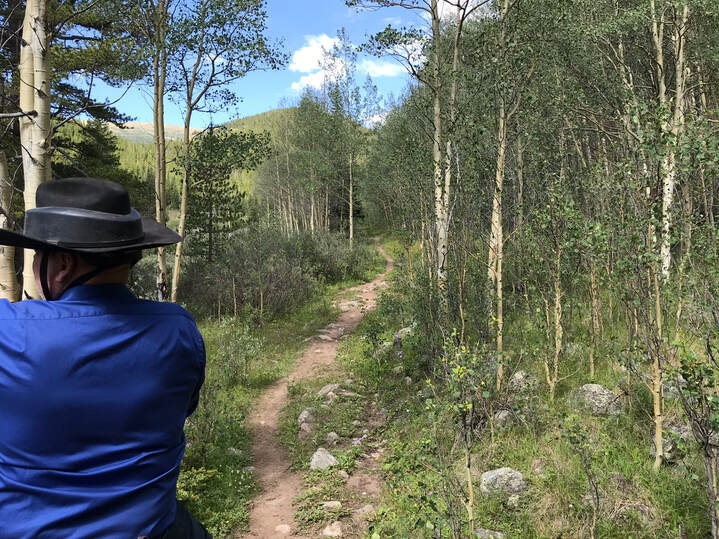
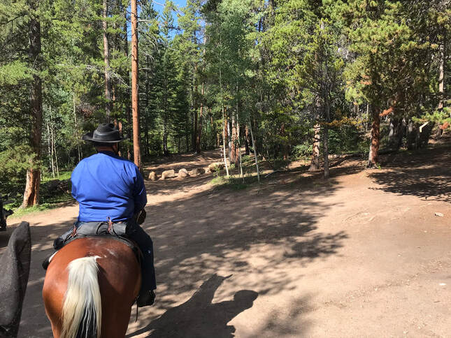
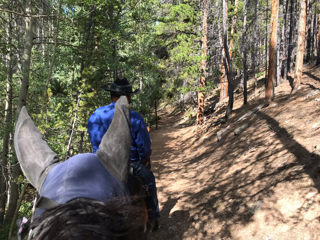
We started out at the western tip of the camp circle. The start of the trail was marked by some large rocks covering the trail. The rocks help keep out motorized vehicles.
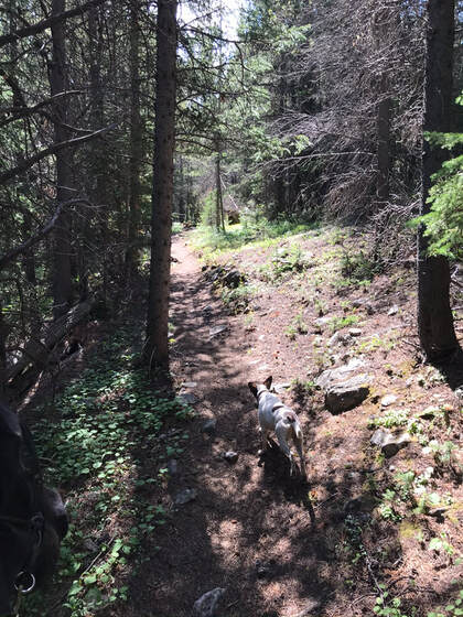
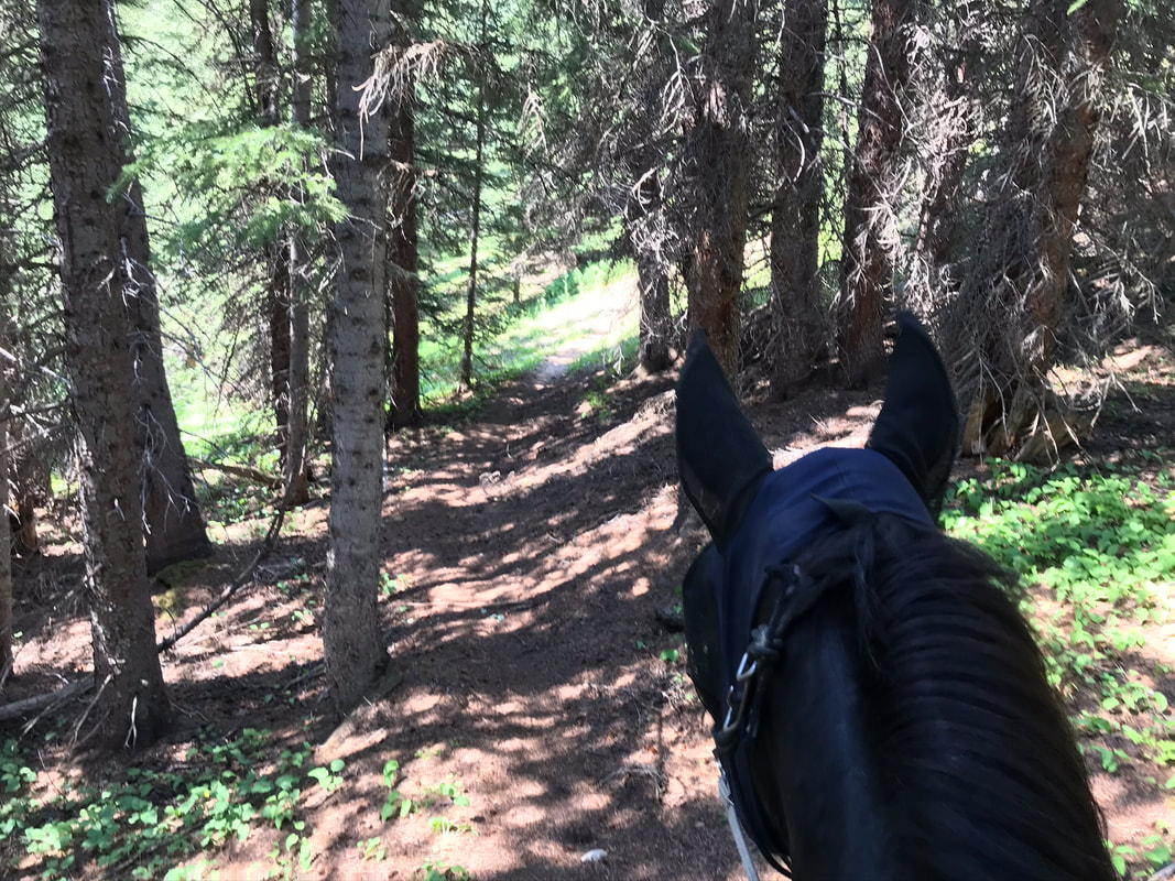
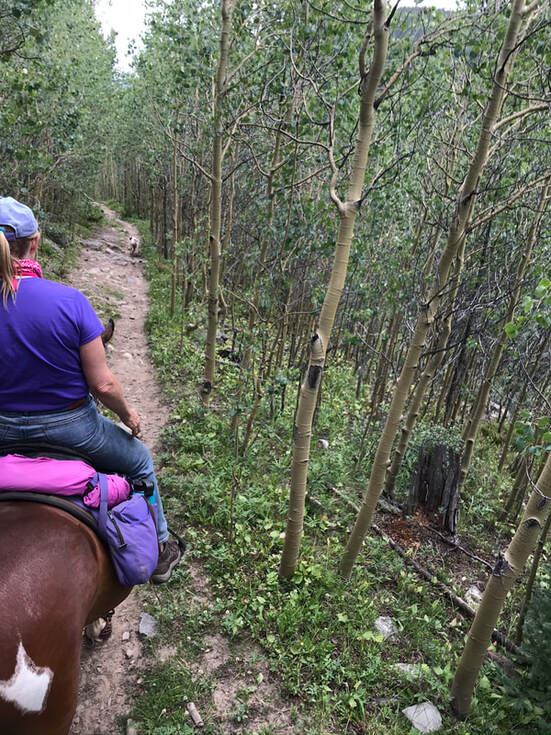
The trail started off wide then narrowed and wove through the forest along the creek.
|
|
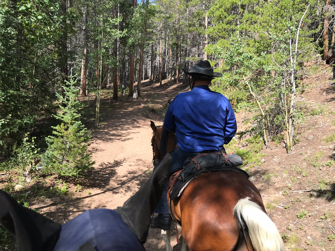
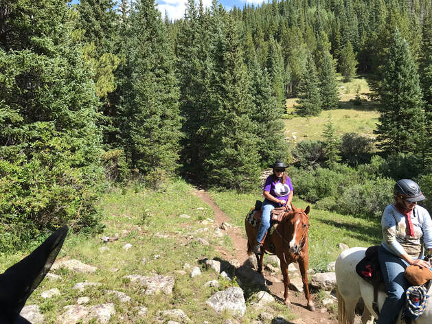
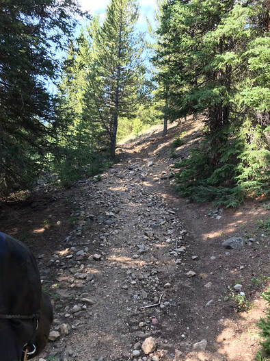
The footing was moderately rocky to pretty rocky in places.
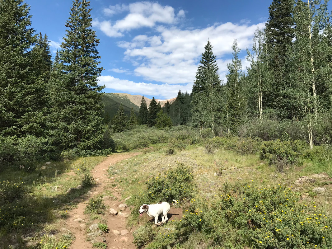
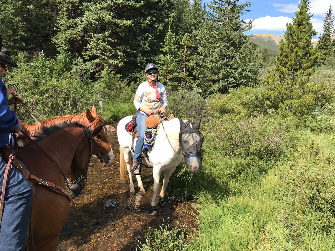
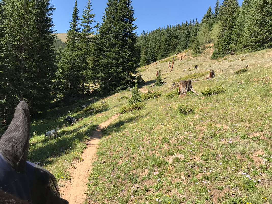
As we came to a clearing we could see the mountains in the distance for a pretty view. If you cut down to the left you can give your horses a water break in the creek.
|
|
From here the trail narrows and goes through some aspen. We saw evidence of beavers to the left by the creek. The footing gets pretty darn rocky in this stretch of trail.

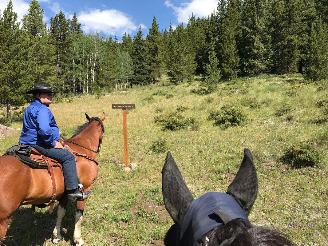
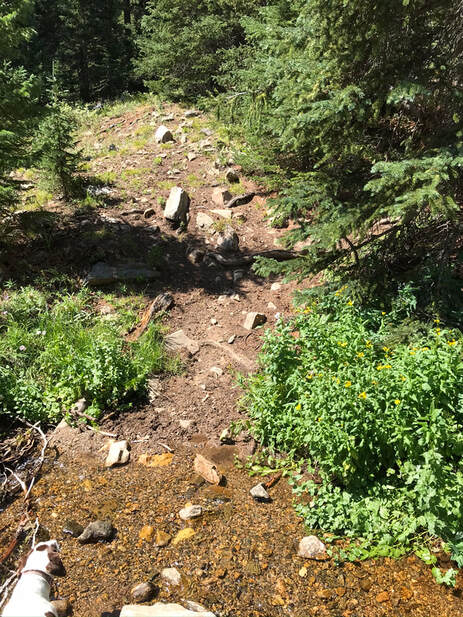
After about a 2 miles we reached the fork for the South Park Trail. This fork is nicely marked. We were told to take the left fork but not to attempt the difficult right fork. The first boggy area is right after the fork as the trail crosses a river. For us in August, the bog was dry and easy to cross. We continued to climb the mountain for another 30 minutes until we reached tree-line.
|

|
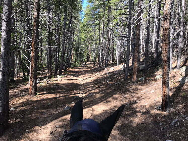
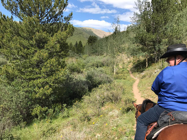
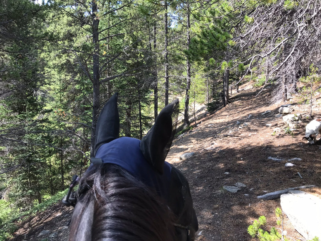
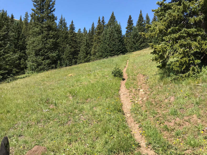
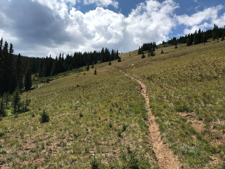
The left fork of the South Park Trail was my favorite segment of the trail. It wound upward through the forest and we came out at several meadows with stunning mountain views.
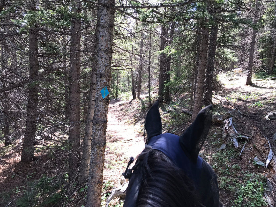
The trails were marked with the blue diamonds. The trail was clear and easy to follow.
|
|
The footing was rocky in places and full shoes or boots are recommended.
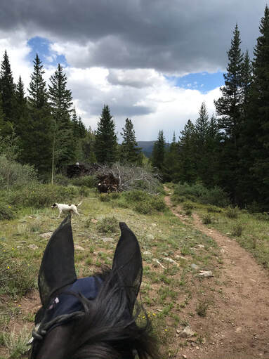
This is one of the pretty meadows on our way up towards tree-line.

|
|
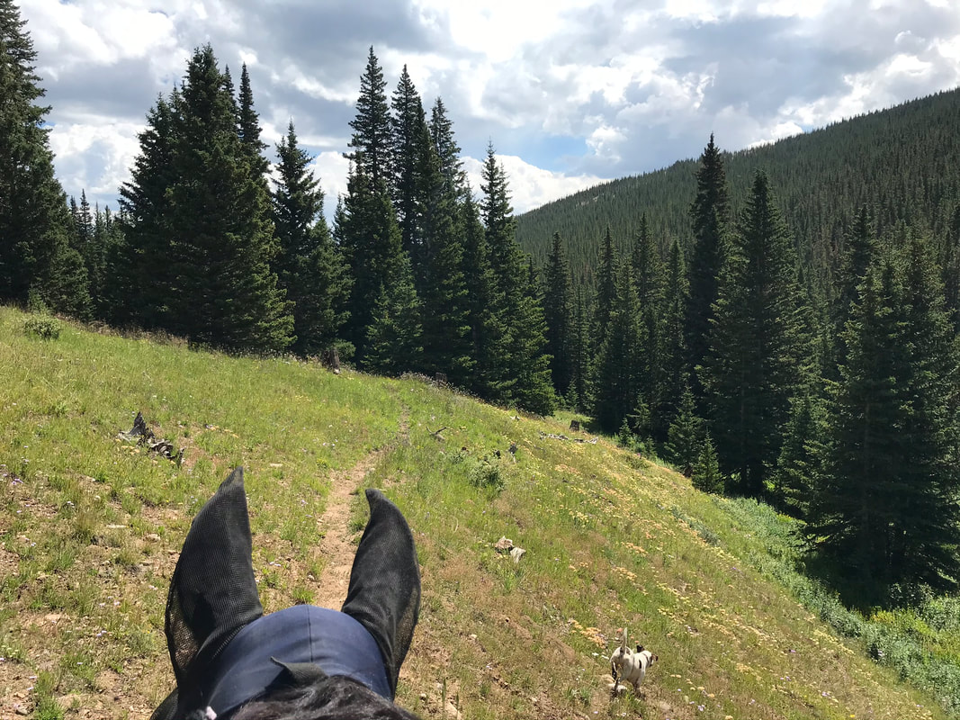
We did pass 1-2 more water crossings which were a good place to stop and take a break. Our horses are pretty fit and they were still working hard to climb the mountain.
We reached tree-line and decided to call it our turn-around point. Jon reports that if you continue upward to cross the mountain to the Red Cone Trail there is a section of shale to cross. At this point our horses were pretty tired and we still had another 1.5 hrs to ride back to camp.
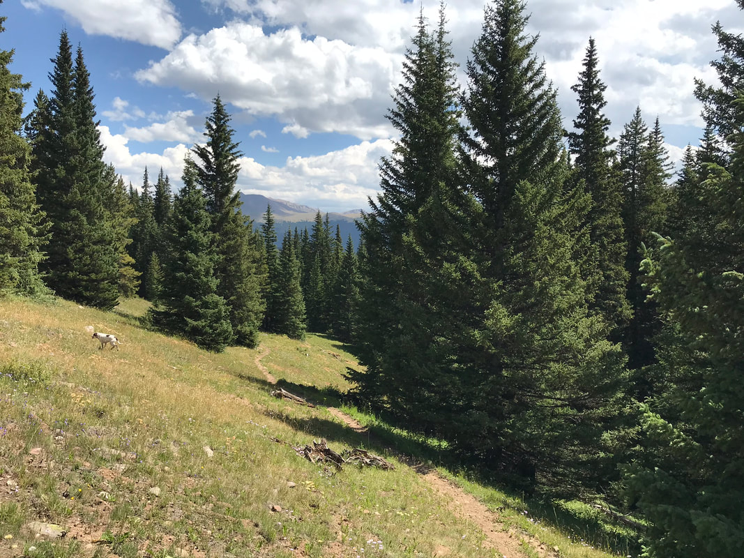
The ride down-hill was faster and again had amazing views.
|
|
This is the 2nd boggy section that was about 10 minutes from tree-line. It was relatively dry for us in August but it would have been difficult to cross in the spring.
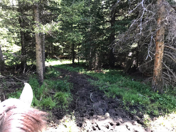
We turned right at the South Park Trail fork to take Bruno Gulch Road back to camp. Riding through the aspens was very peaceful.
This is the meadow with the creek to the left about a mile from camp. It was a nice place to stop and water the horses.
Rating
Moderately Difficult. The first section of the trail on the Bruno Gulch Road had some really rocky sections. I highly recommend shoes, and we had 2 riders lose boots and have to reposition them. For a shorter ride turn around at the South Park fork. For another hour, continue up the mountain to tree-line. The climb up the mountain is a work-out for even the fittest horses. Overall, I enjoyed our day 2 ride a lot more on the unnamed trail.
